
In my time I’ve been up a couple of volcanic cones, but there’s something special about climbing one right in the middle of a city. Just a few kilometres south of Auckland‘s CBD is Maungawhau Mount Eden, which offer one of the best views over the harbour and city as well as a proper crater to peer into. The walk up isn’t long; perhaps twenty minutes if you take your time…
But it’s steep enough that by the time you get to the top you feel like you’ve earned the panorama. It ended up being the best time of year to go (on a clear winter’s day). It was crisp outside, the sky was that deep blue it gets in winter, and there wasn’t a hint of haze, you could even see out to Rangitoto Island.
Cars are no longer allowed up the maunga (a sacred site), so everyone walks up, making the entire experience more respectful and calm.
Climbing Up Maungawhau Mount Eden
Mount Eden
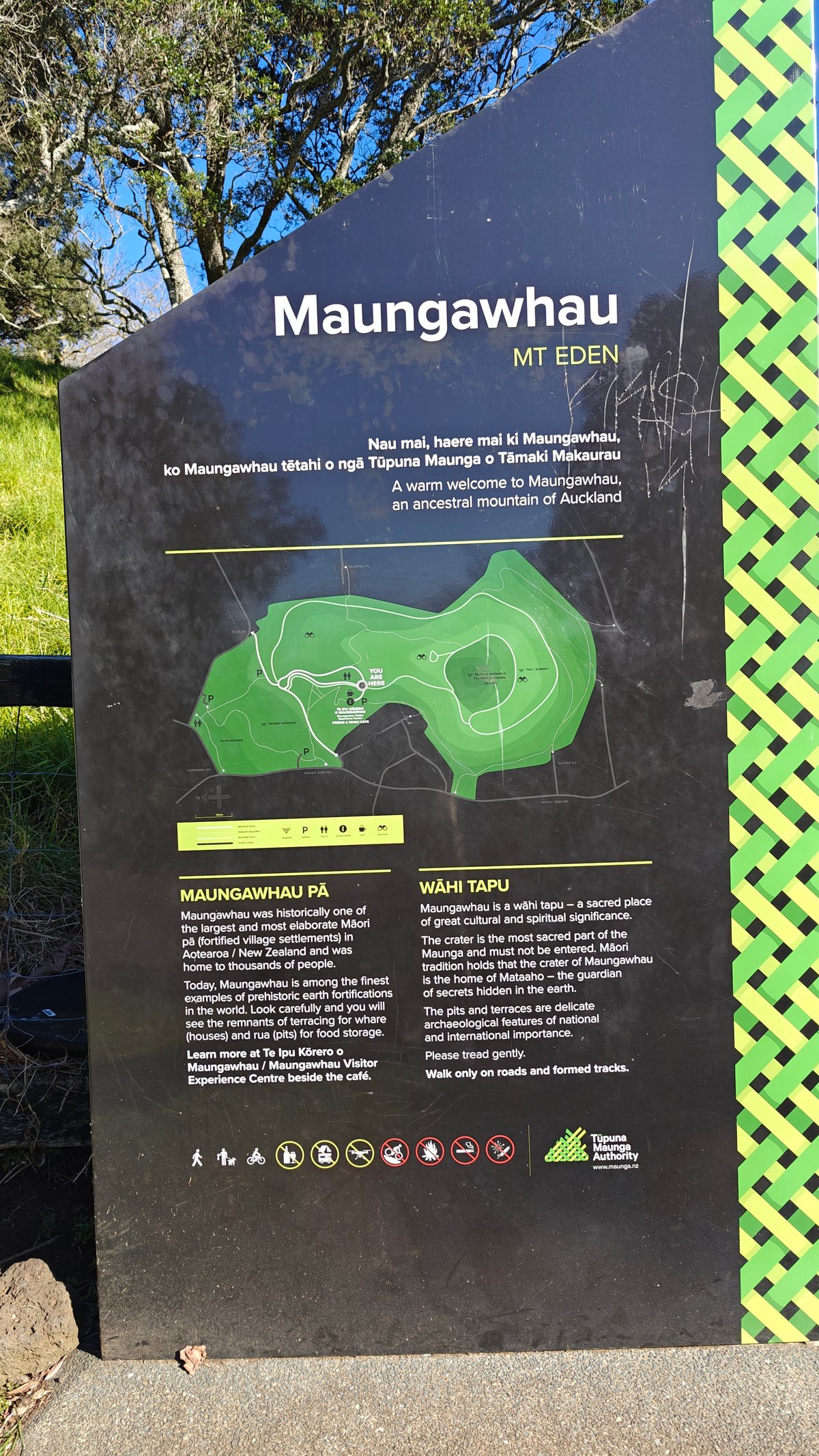
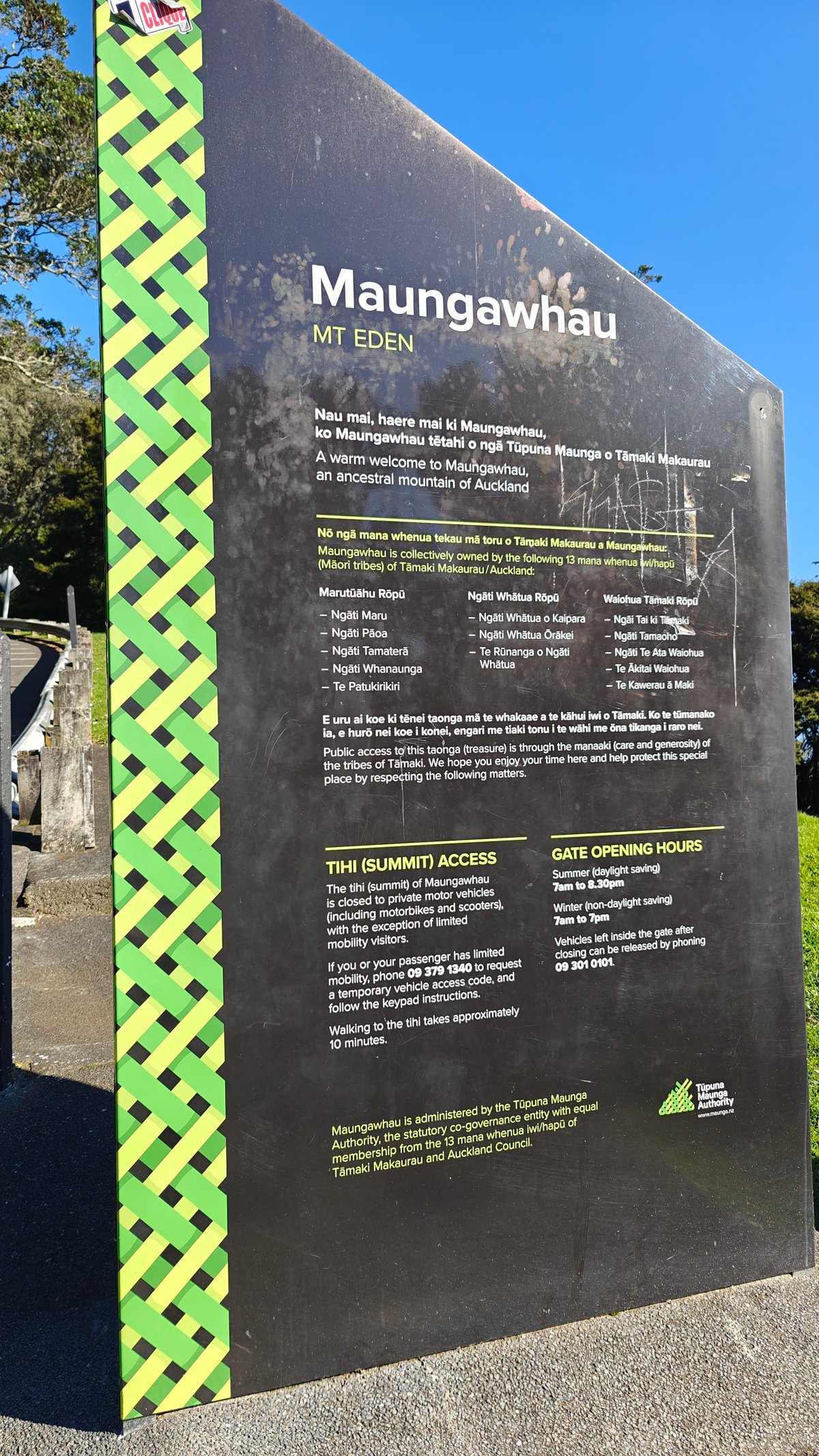
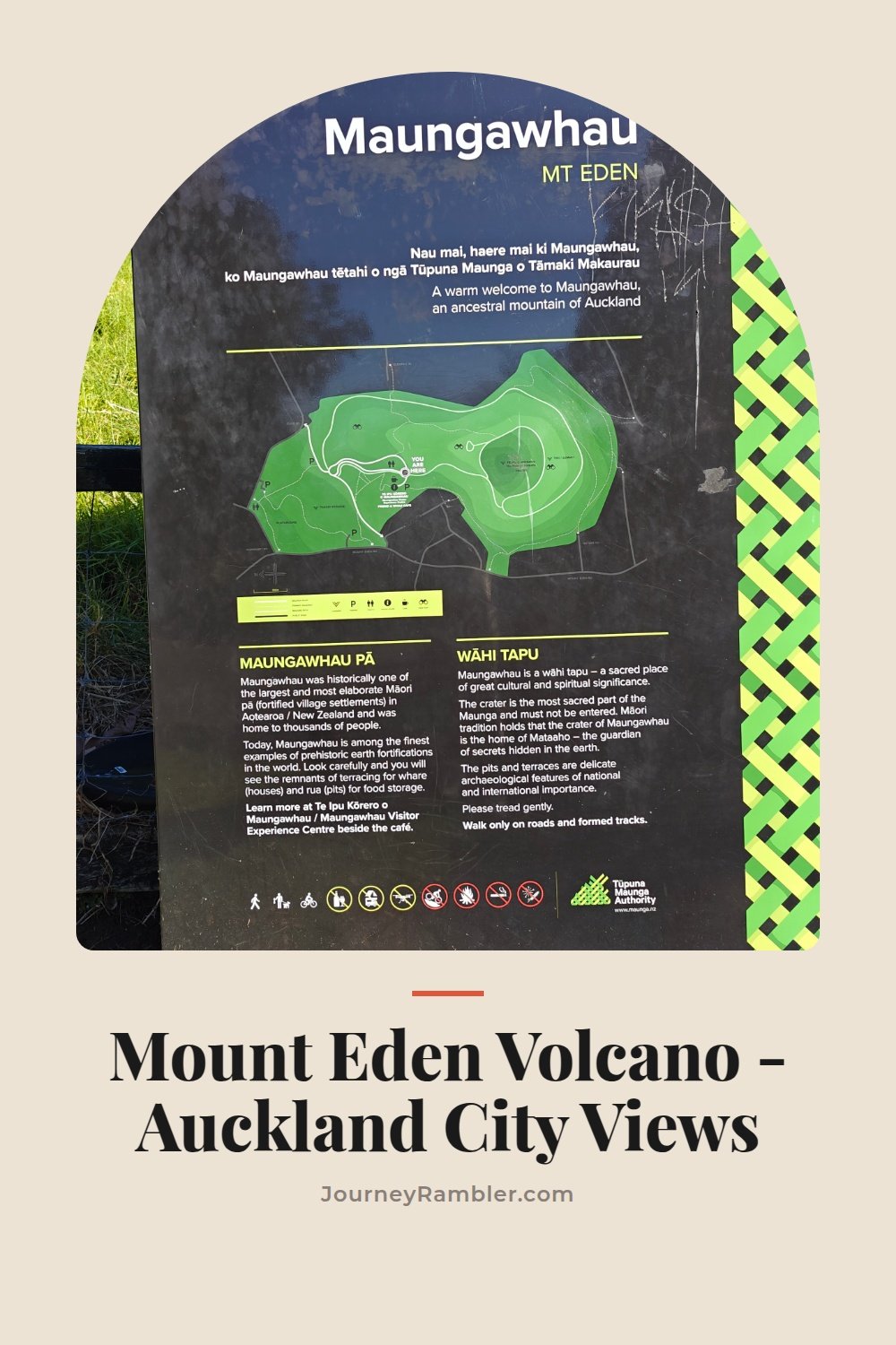
At the bottom there’s an entrance board explaining the basics, the history, the cultural significance, what to expect on the way up. I read both sides for a minute before setting off, which helped me get a better sense of what I was actualy looking at. Understanding Ngā Mana Whenua ō Tāmaki Makaurau changes how you experience the cone, because it is an important part of their history.
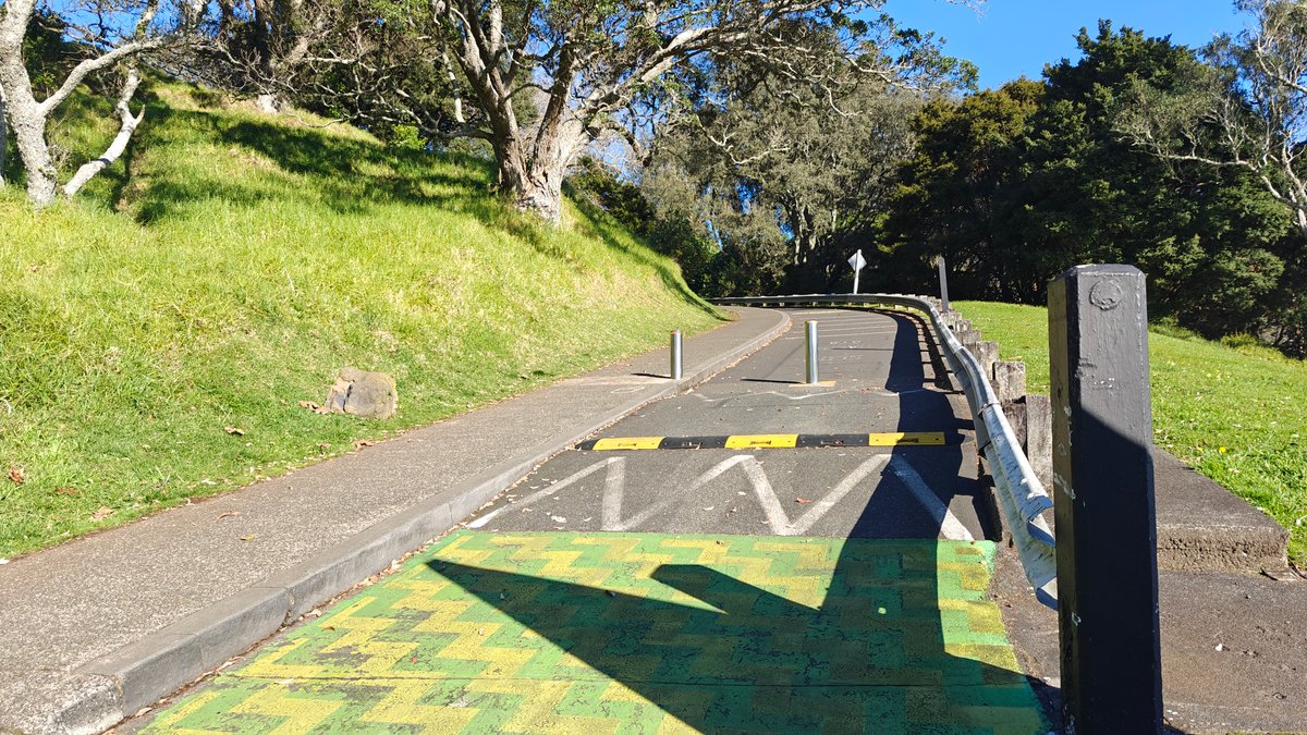
It’s a long, steady series of switchbacks up the side of the maunga on sealed road. There were a couple of older visitors and some families with kids taking their time as I passed them. It’s not a brutal grade, but it is consistent.
You’re definitely going uphill the whole way.
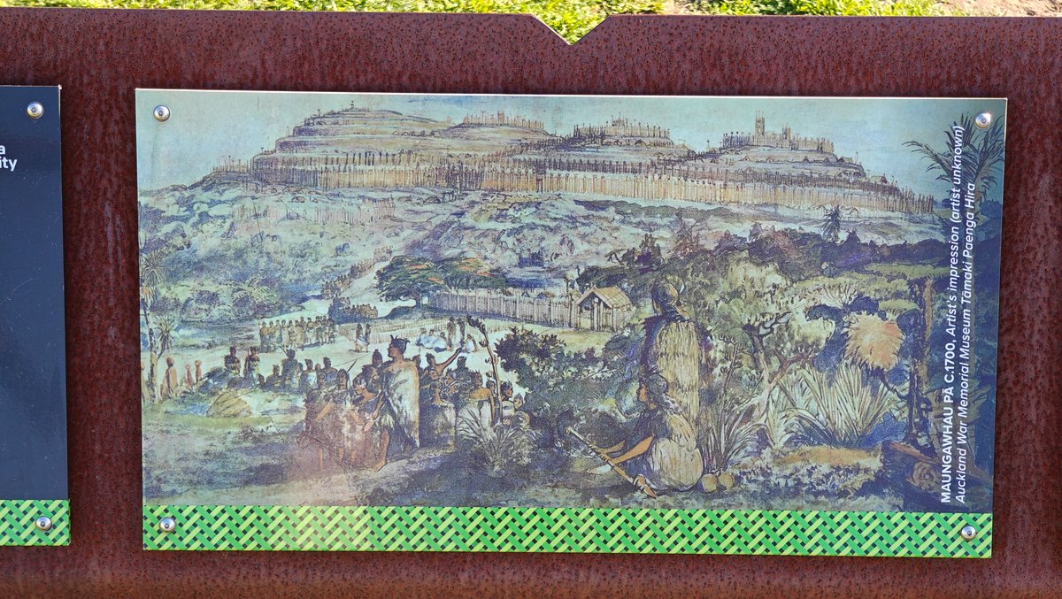
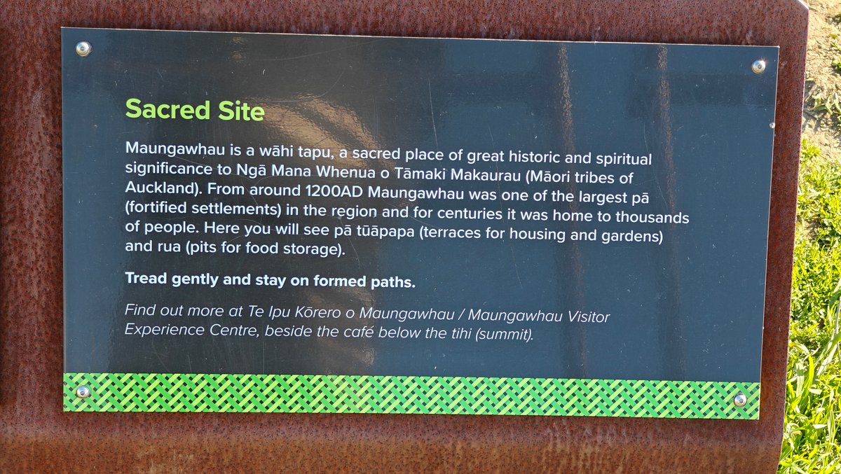
The path is lined with interpretive panels that detail the history of this place as a pā (and how it continues to be significant). There were a few where I stopped, not only to rest my breath but also because they was really informative. They were written in an approachable manner, and the weathering-steel panels blended into the setting without effort.
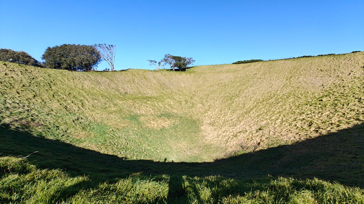
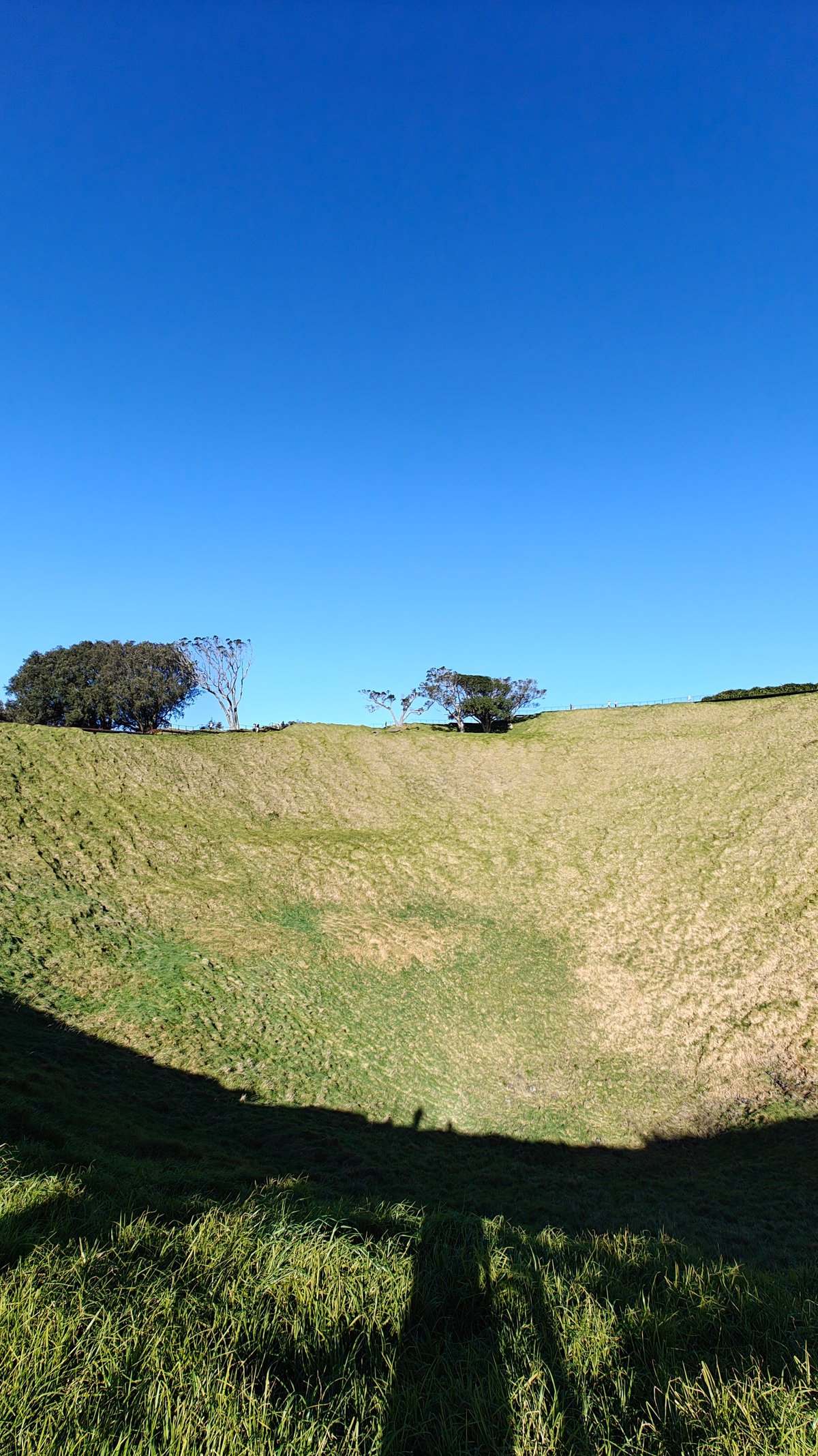
On reaching the rim, the crater below opened up, a vast grassy bowl that drops some 50 metres from the edge. It’s no longer possible to descend into it, which makes sense as so many people pass through here. But from the rim, you get a good idea of its volcanic shape, and it’s larger than I’d imagined.
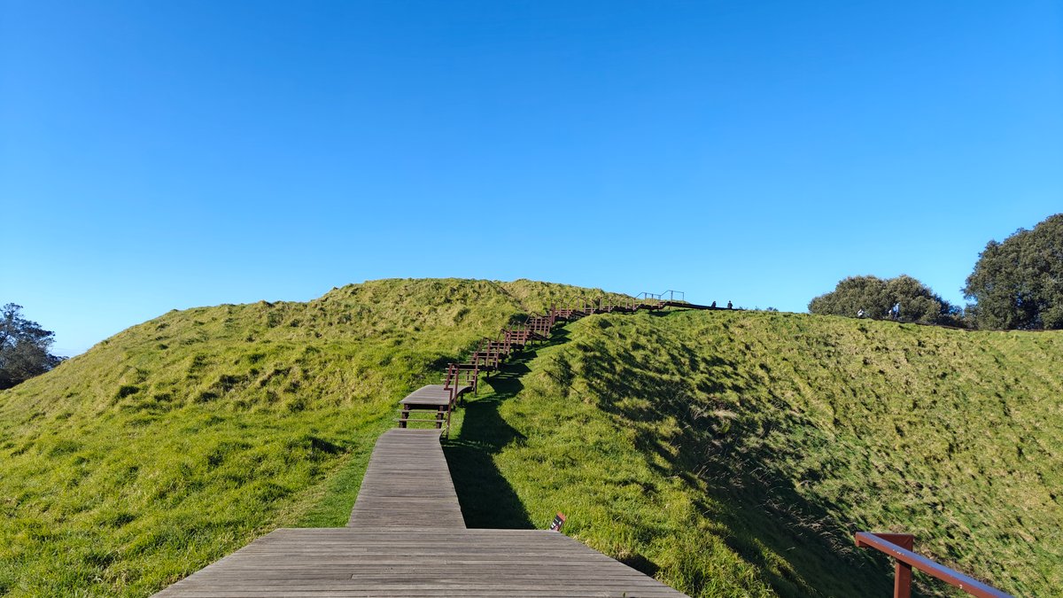
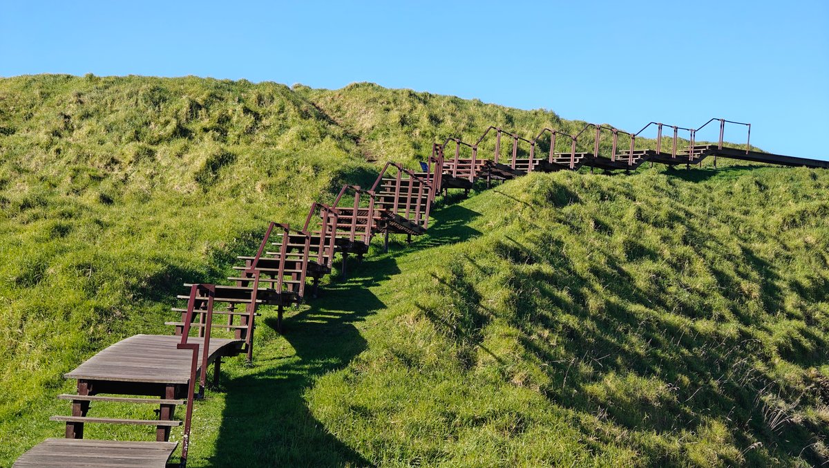
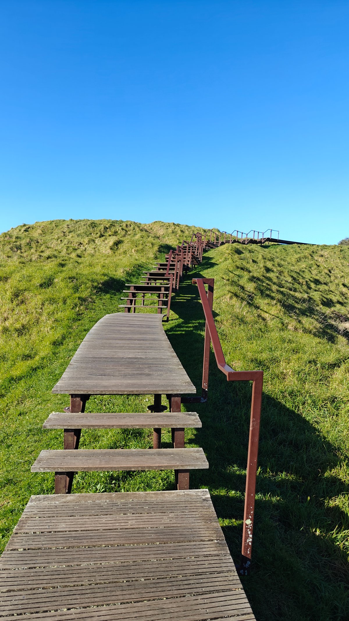
From there, I continued up the last bit of the cone on a timber boardwalk leading to the true summit. It’s steep, with the stairs getting more so the higher you go. By this point, my calves was feeling it.
This boardwalk ensures everyone stays in line to protect the grass. It makes for an easy hike with no wondering where to go next.
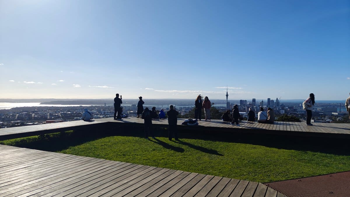
The summit viewing platform wasn’t crowded, but it was busy. A few other hikers were there taking pictures, pointing things out, or simply staring silently at the view. I grabbed a place on the railing and spent some time figuring out what I was looking at.
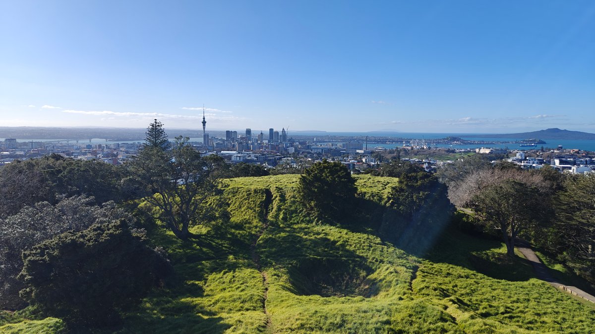
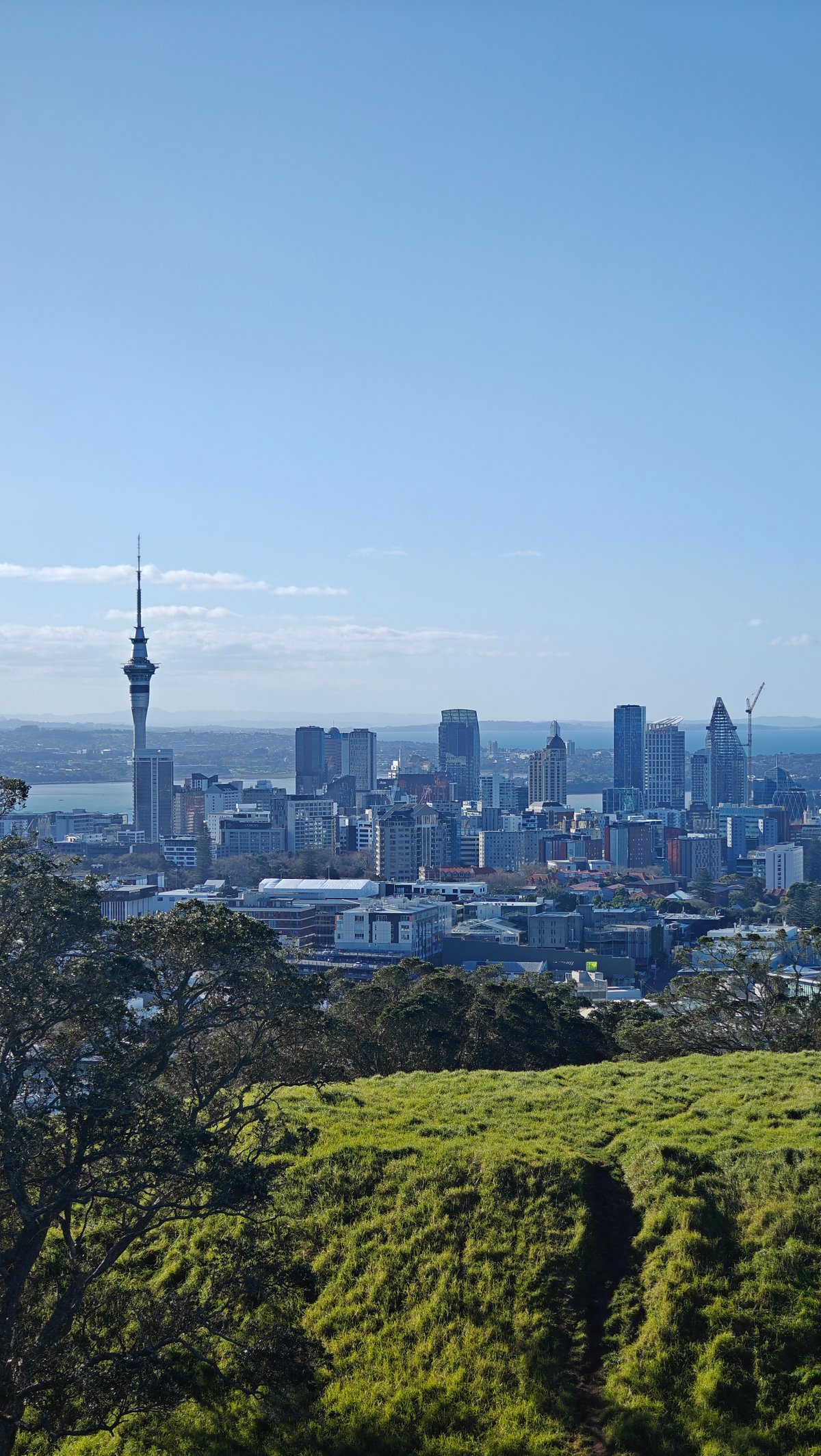
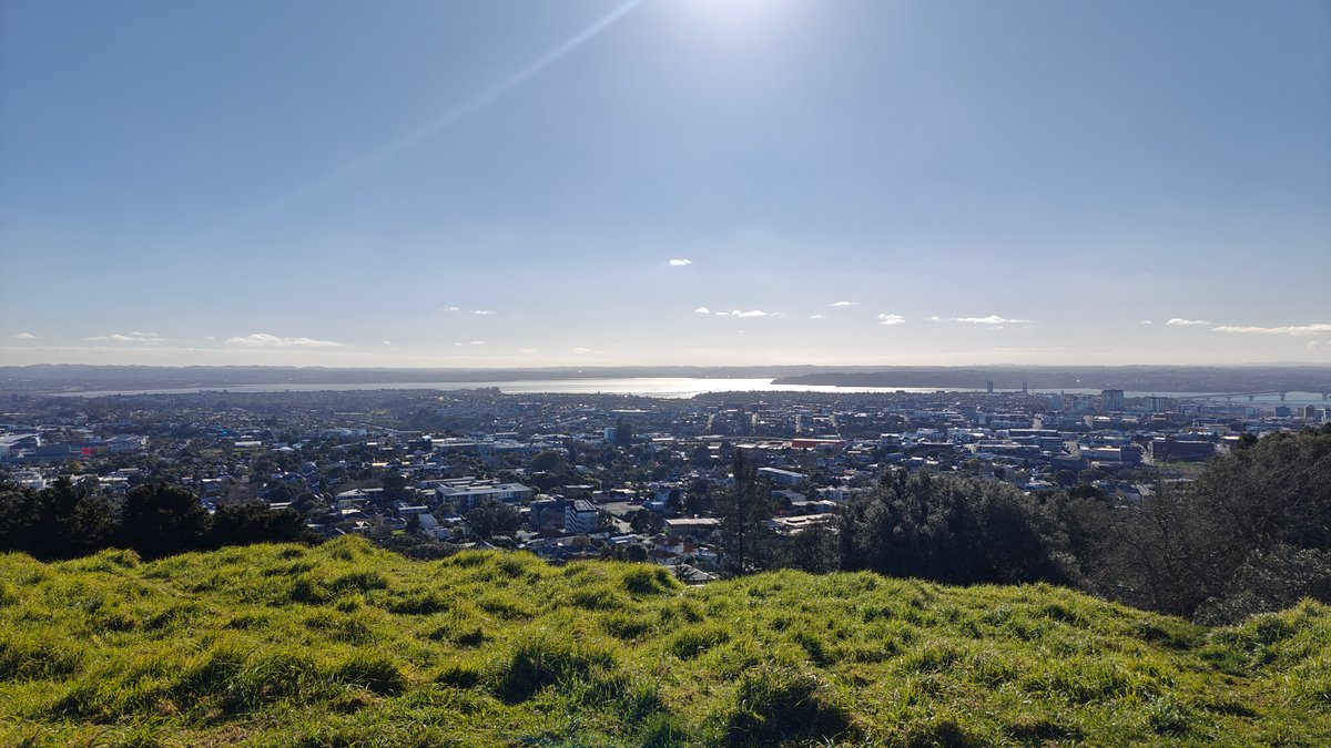
Looking north, I can see the Auckland skyline stretching out before me, the Sky Tower sticking up like a beacon. The CBD is neatly contained from this vantage point, the suburbs stretch out in all directions except for the harbour, and the city itself appear neat and small. I can spot where the waterfront is, which larger building are there, and even the harbour bridge, spread out like a map below.
I was also struck by how much more there is to be seen. Across the harbour, a perfect low cone rises from the water: Rangitoto.
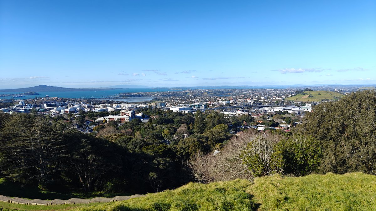
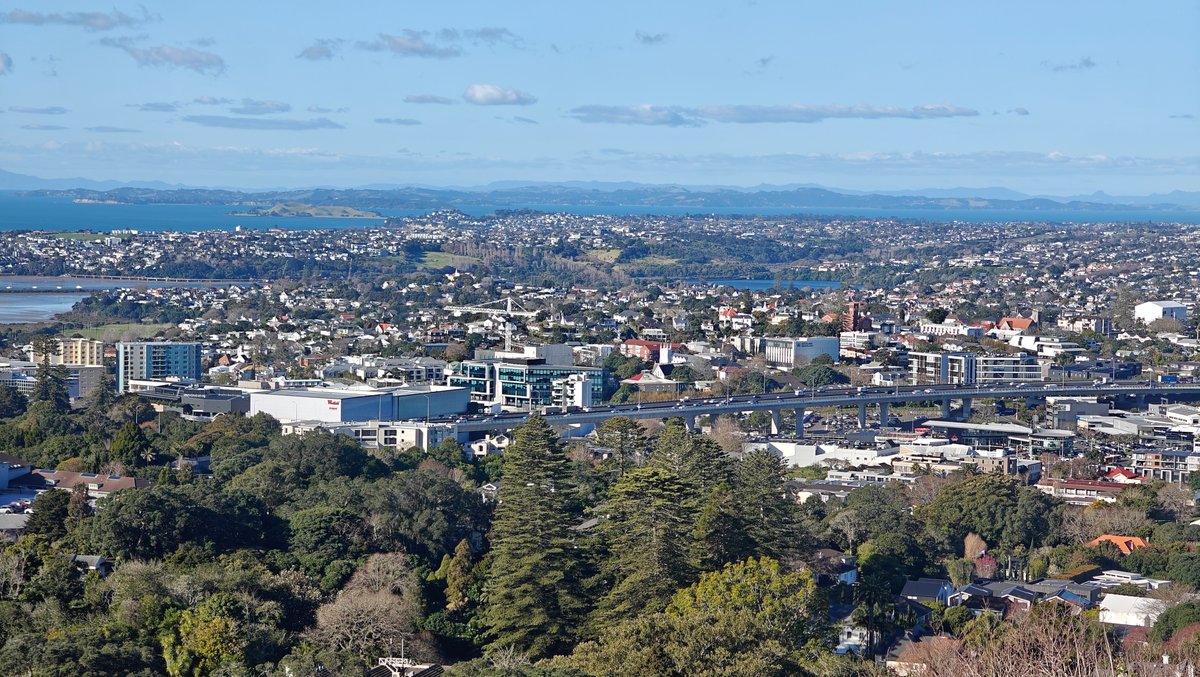
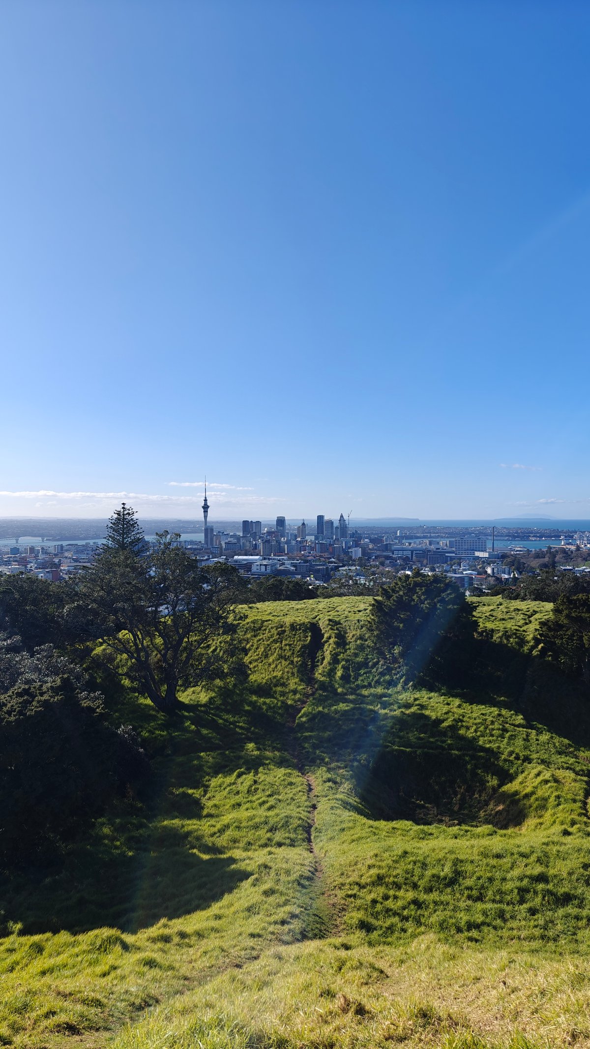
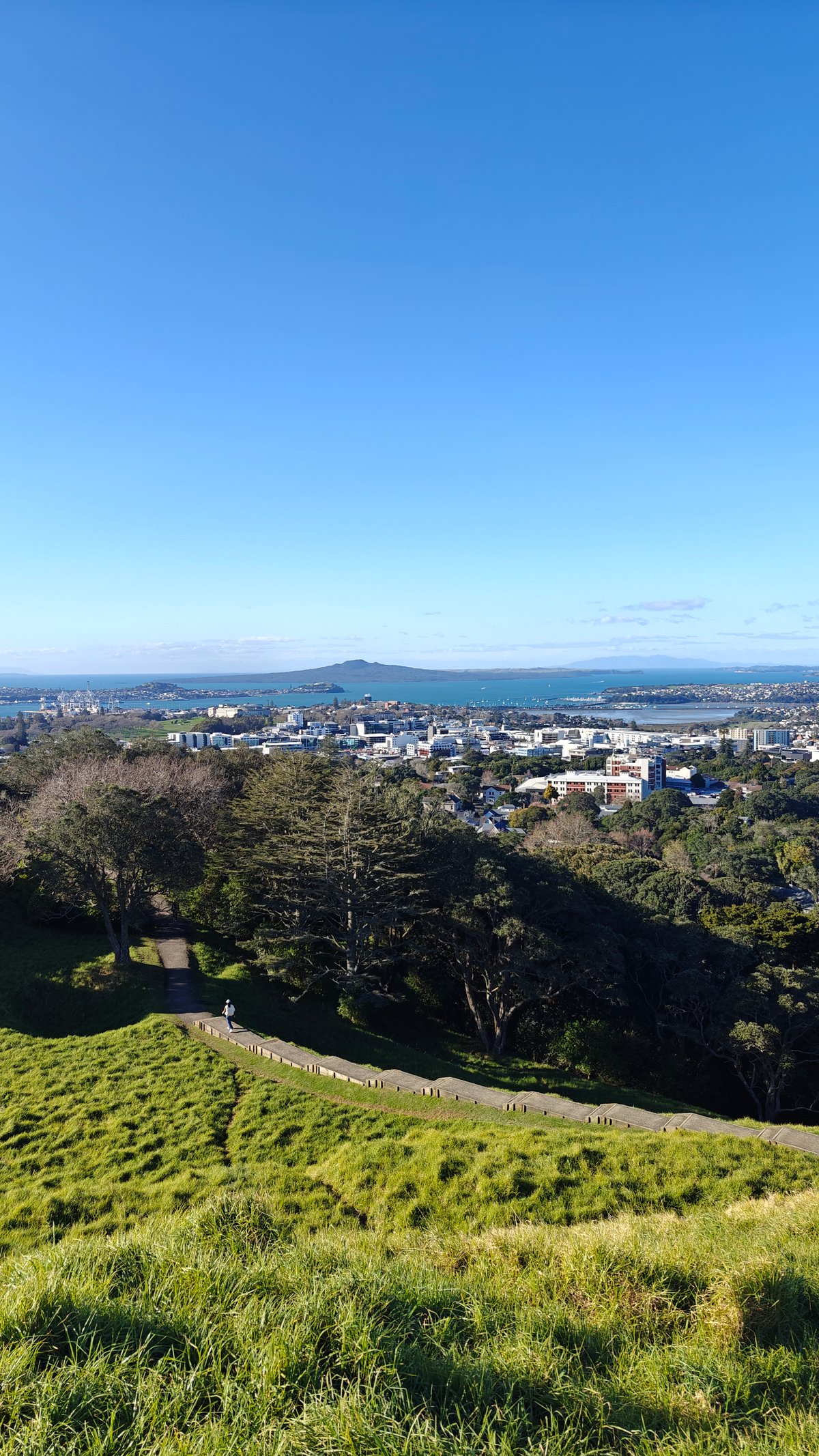
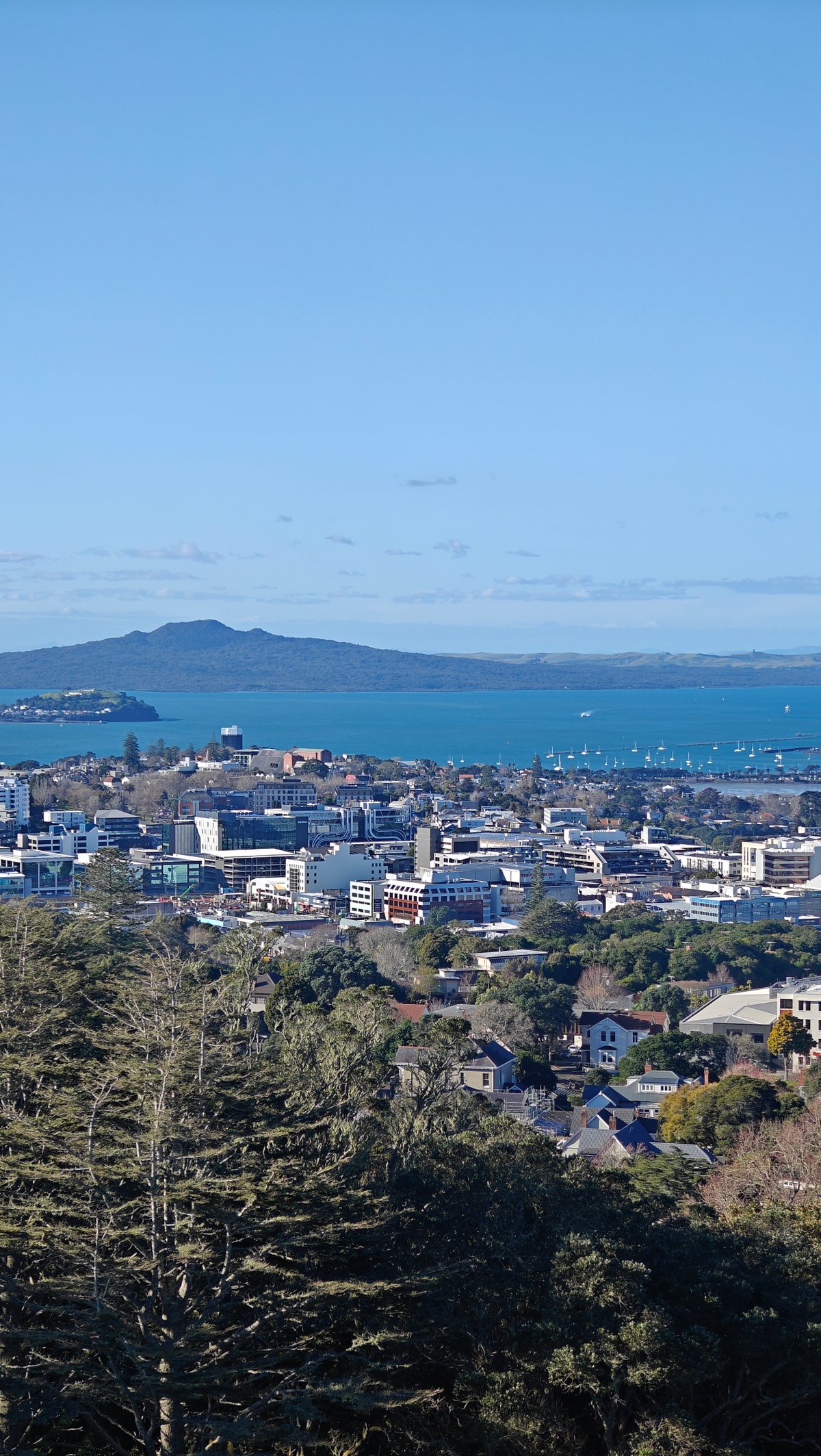
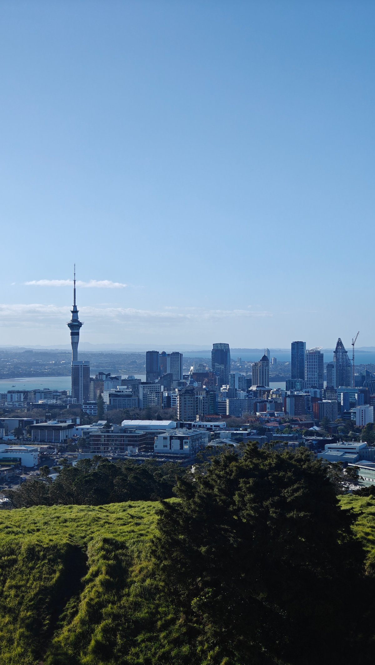
It makes Mount Eden look steep by comparison. In all directions are the suburbs, a combination of parks, rooftops, and the odd high rise. I turned slowly around for some time, soaking up the complete 360-degree panorama.
There was a crater on one side, the harbour and city on the other, and hills stretching off into the distance in every direction.
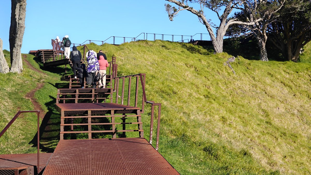
There were other people coming and going, but most stayed only ten or fifteen minutes at the top before descending again the way they had come. A couple descended cautiously, holding onto the handrail as it got steeper.
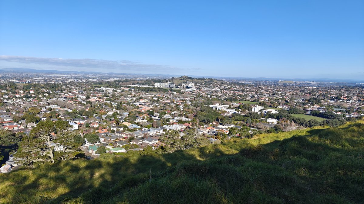
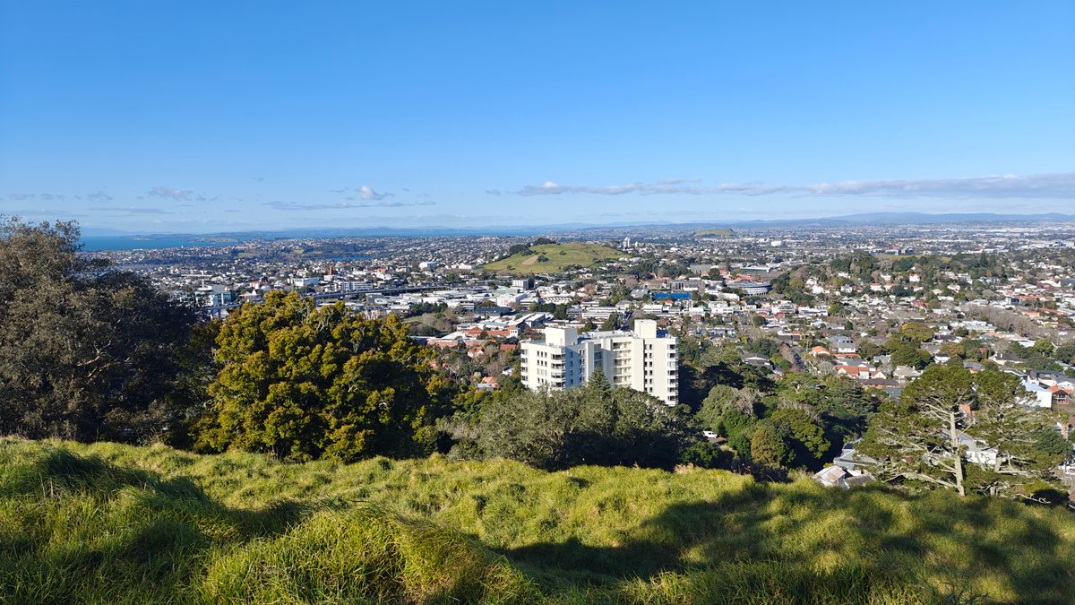
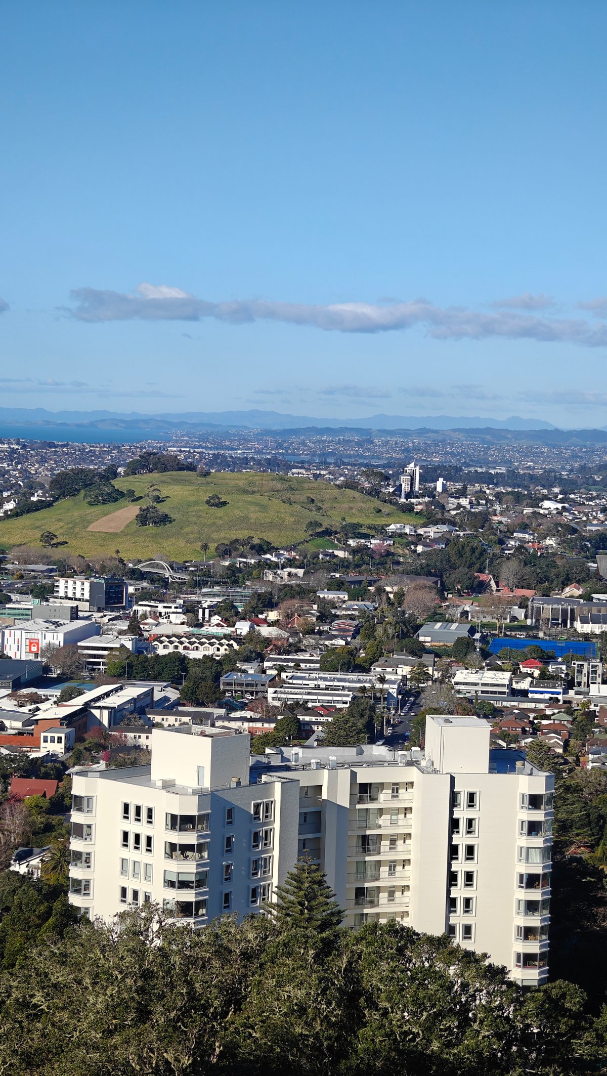
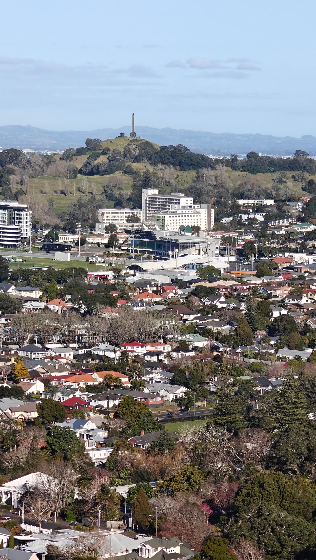
The city pushes right up against the foot of the maunga, looking out across the slopes. From here to the next volcanic cone, there are no gaps. Just apartment blocks, houses, and streets.
I saw One Tree Hill off in the distance, another maunga topped with its own obelisk, and realized that these old volcanoes still form much of Auckland’s skyline.
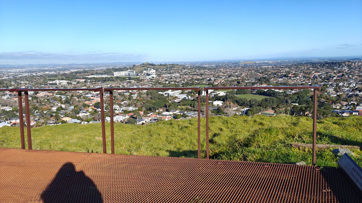
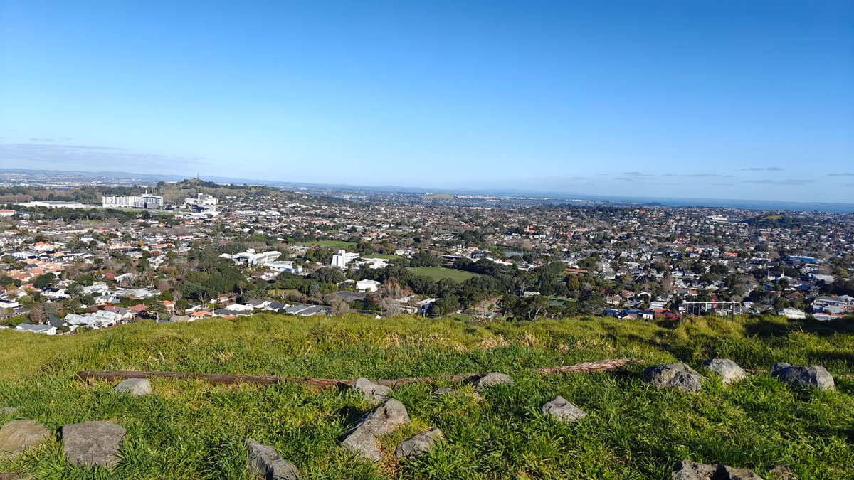
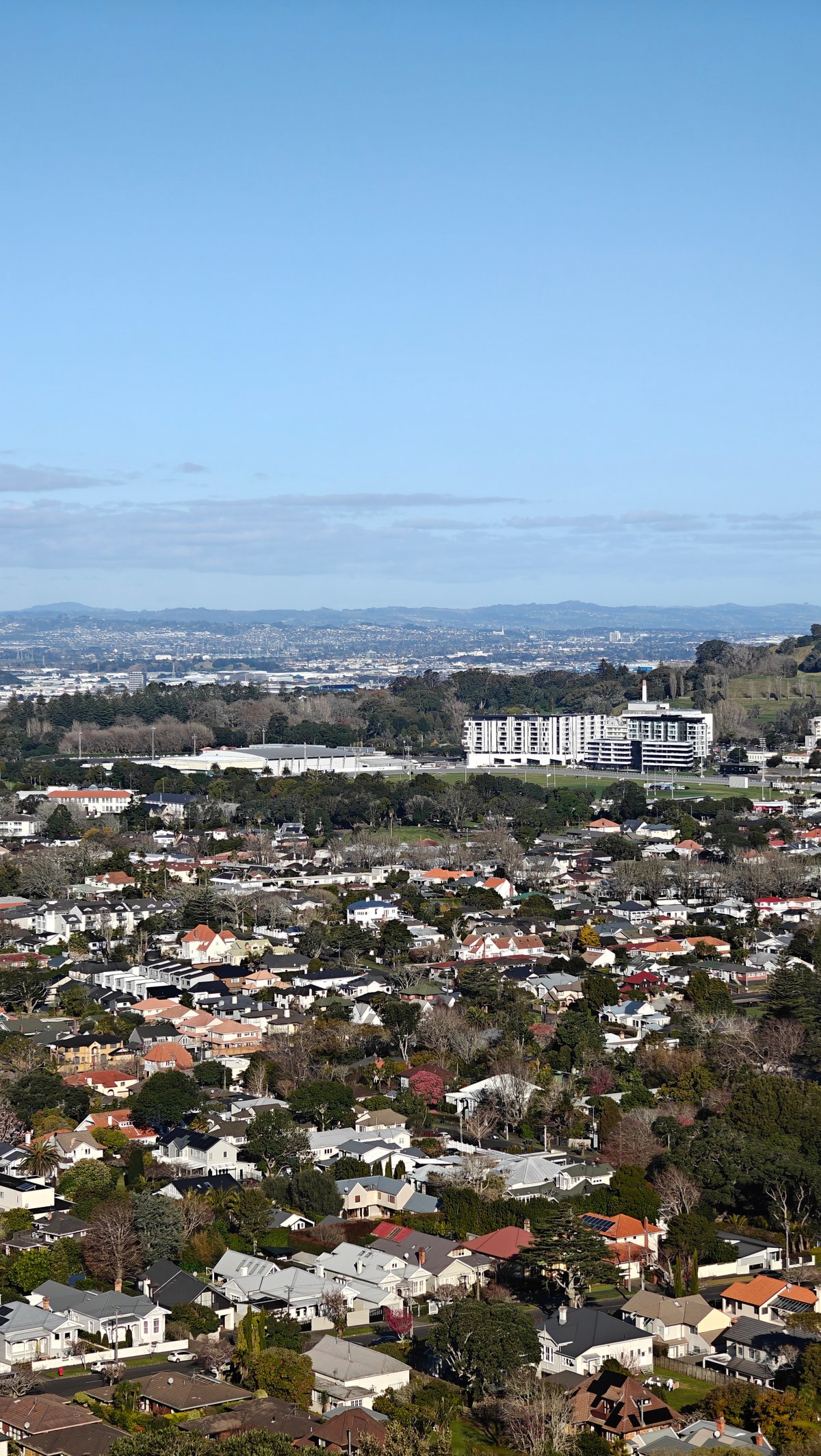
At the rim, there’s a viewing structure that gives you a place to lean and take it all in… No sense of being on the precipice here. Near the top, tufts of grass poke over rocky outcrops, a reminder that despite not erupting for thousands of years, this is still a volcanic landscape.
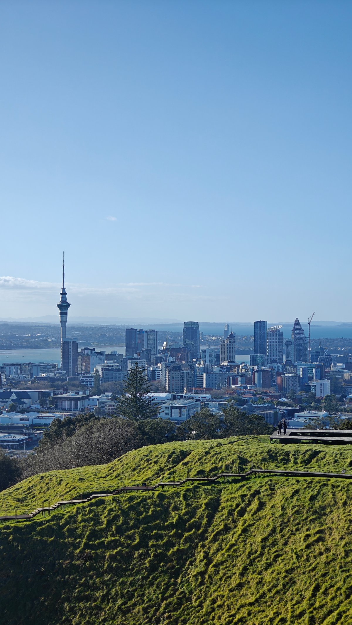
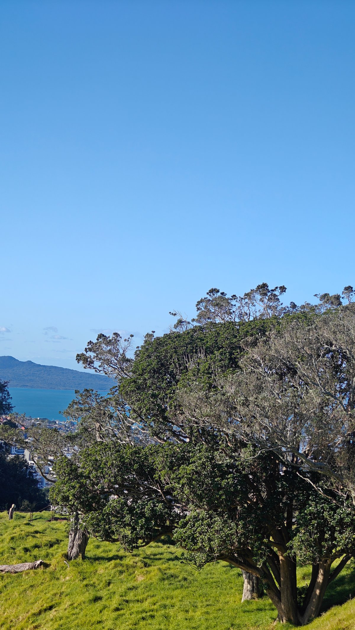
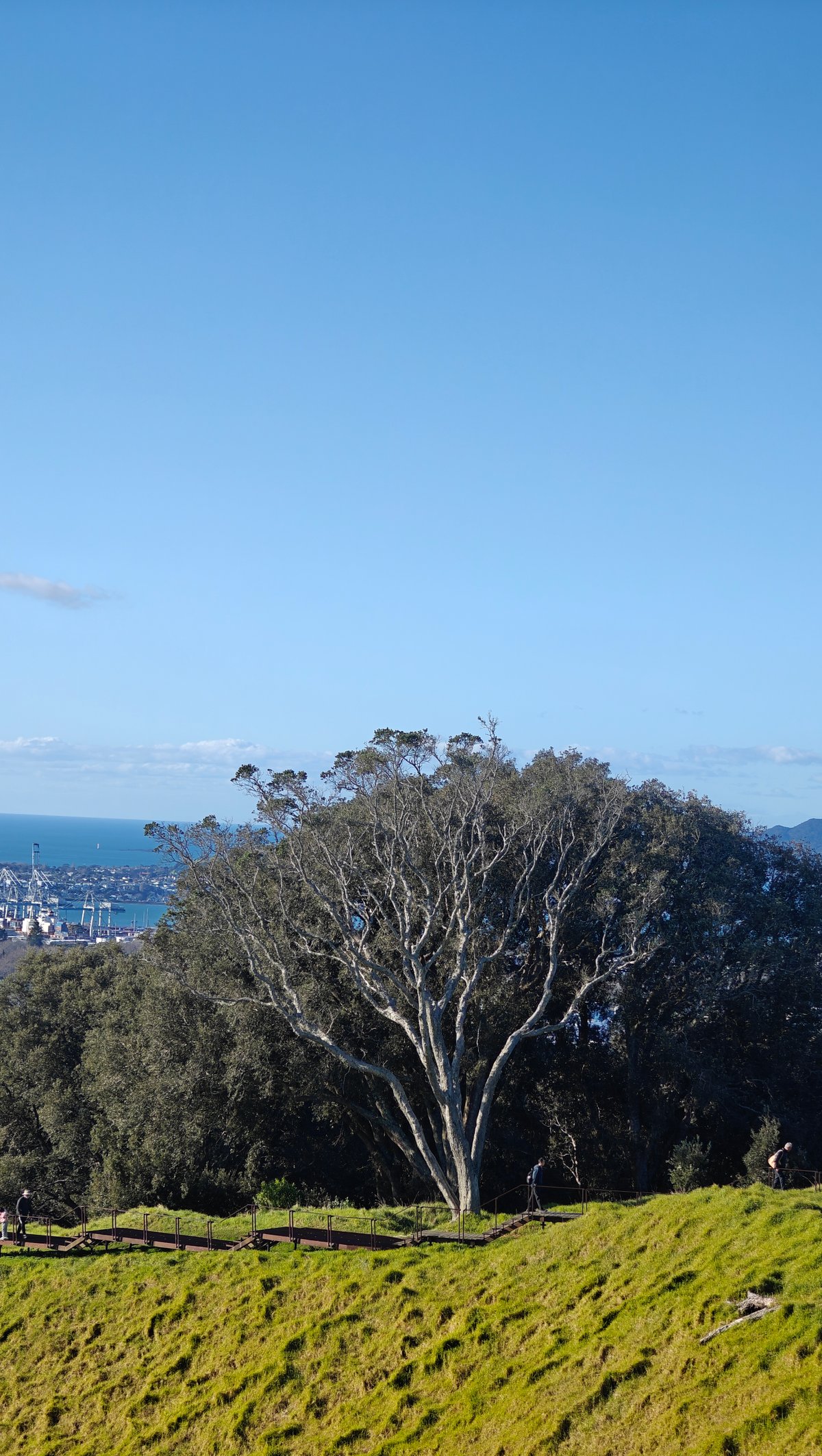
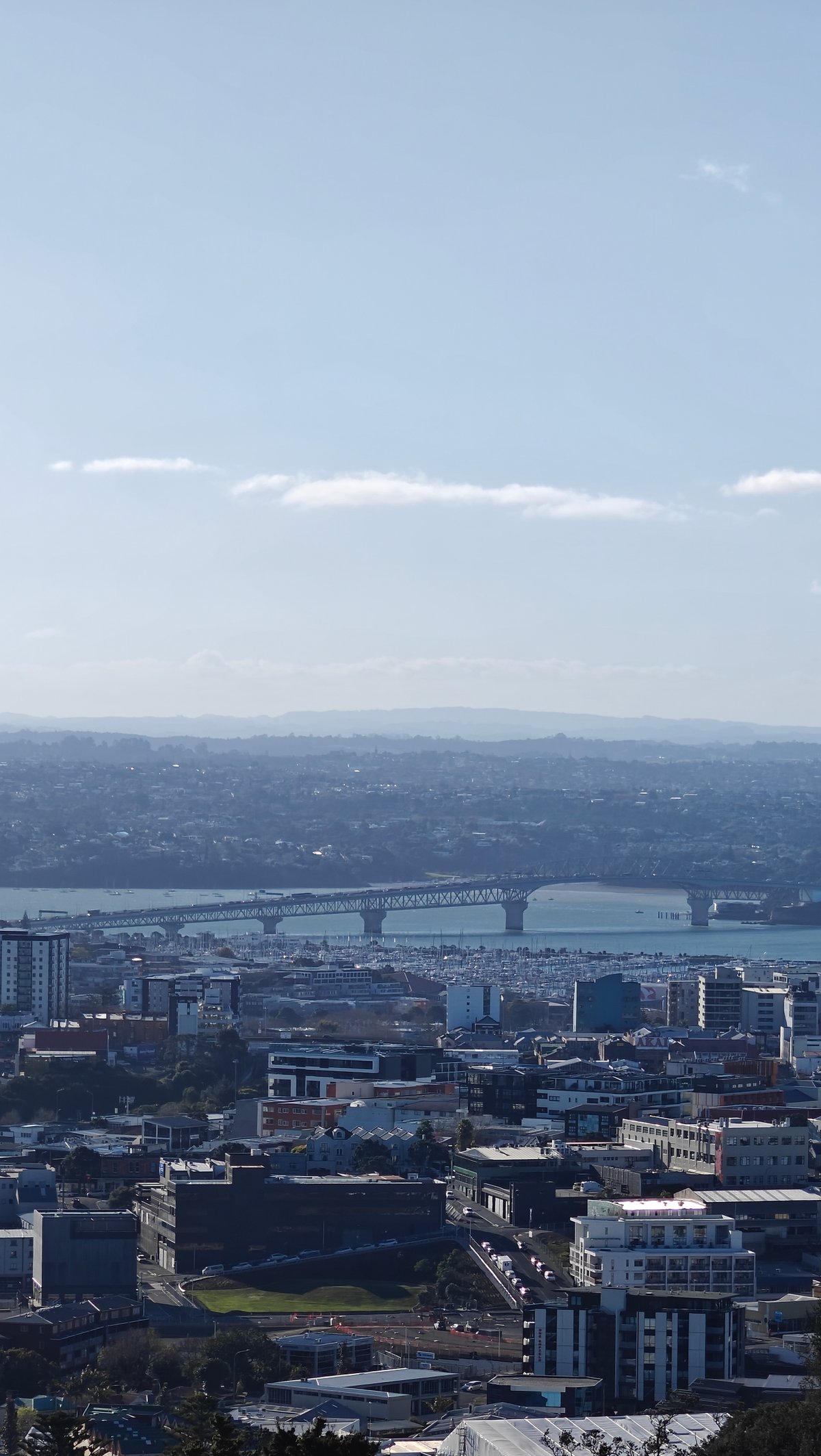
Walking around the rim of it a little I got various views of the city and the crater itself. There are a couple of solitary trees holding on to the bare slopes, their trunks twisted and bent over by the wind but still there. Occasionally I caught the Sky Tower in a frame.
Sometimes it was in front of the crater, and other times Rangitoto was behind it. Once, I caught just a glimpse of the harbour bridge off in the distance.
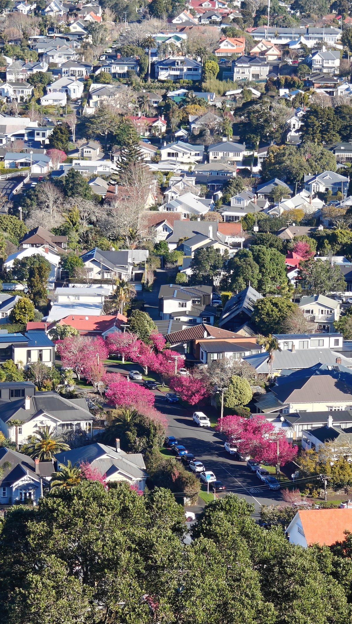
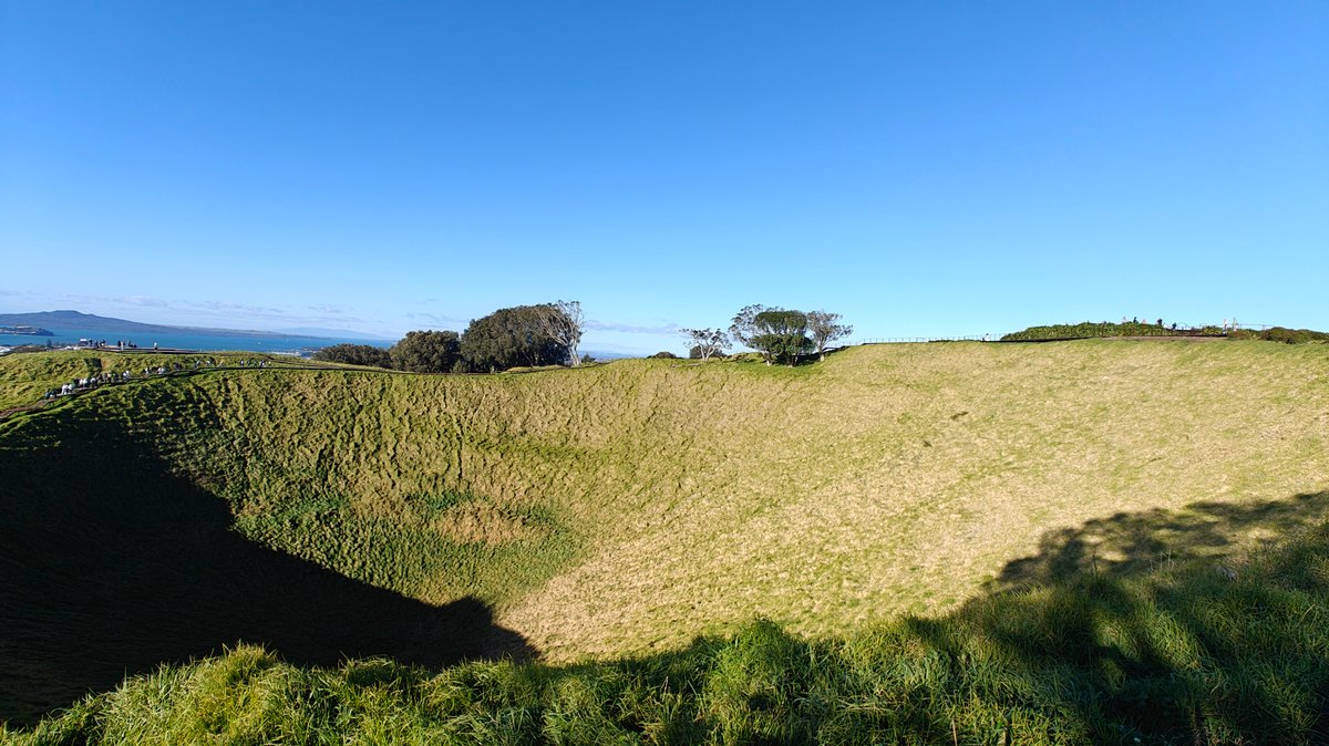
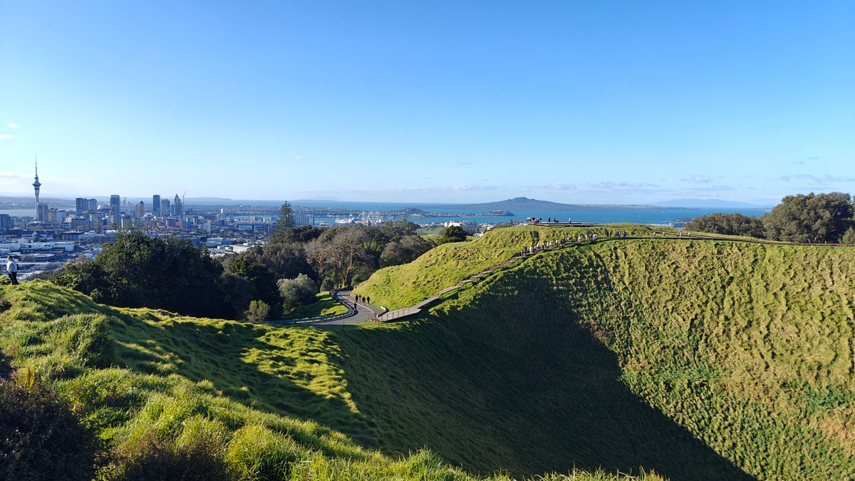
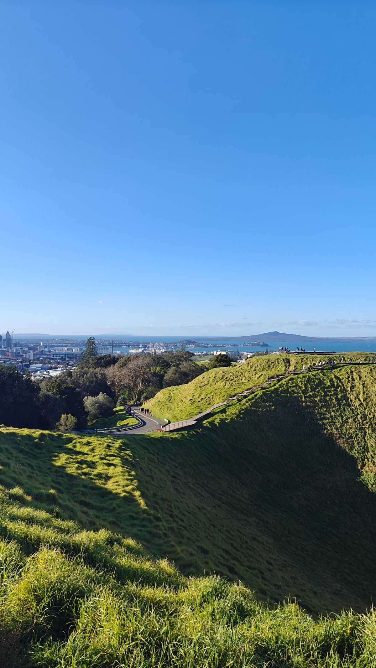
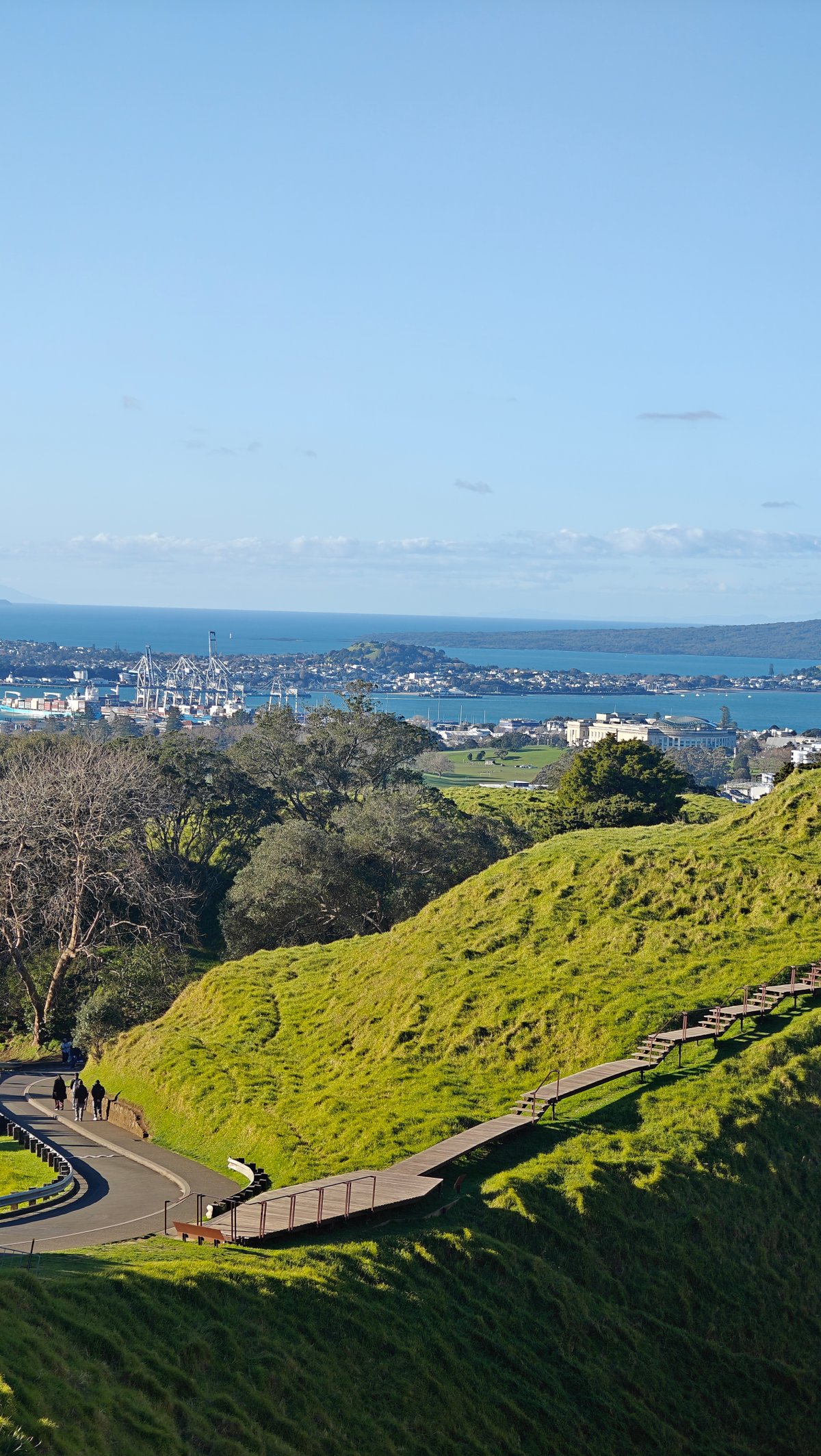
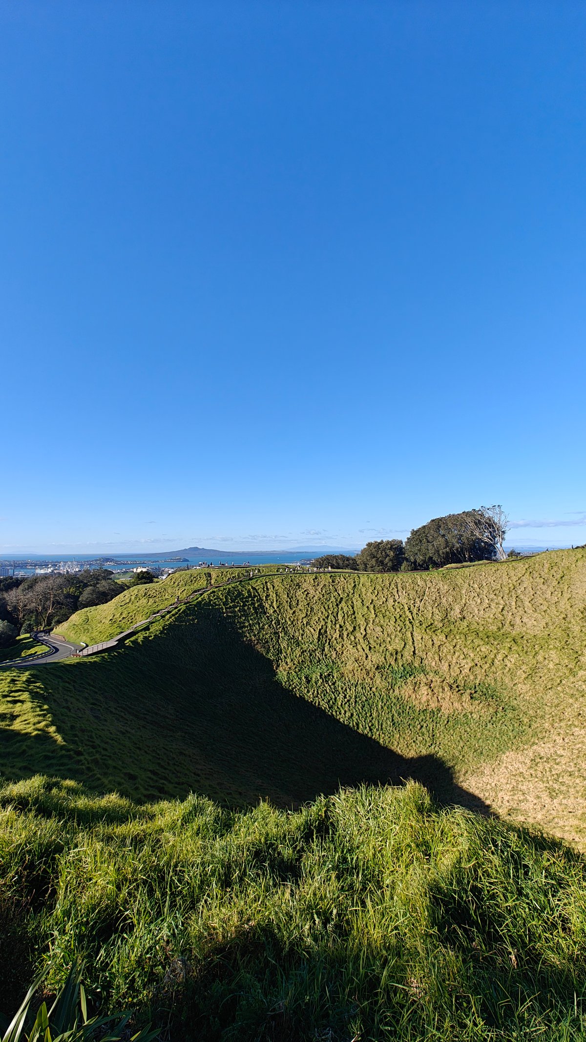
As you walk around the crater, it changes shape. Depending on the time of day and the angle of the sun, it is sometimes half in shadow and sometimes fully lit. More than once I found myself pulled back out to the rim again, staring down into this vast, empty bowl and imagining how it would of been while still active.
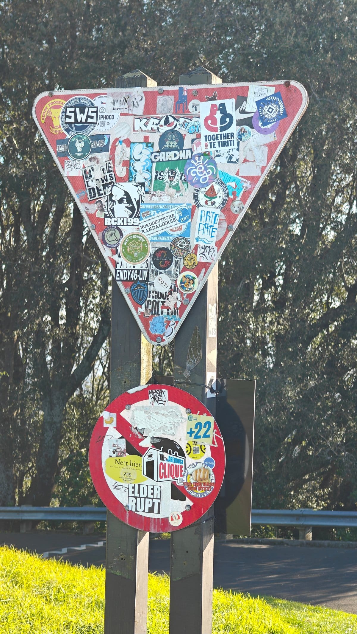
There was also this give-way sign absolutely covered in stickers on the way back down. The sort of thing that is completely unrelated to the volcano yet makes me smile all the same. And Mount Eden delivered on all my expectations: a good volcanic crater, a short but sweet hike, and perhaps the best view of Auckland without having to go out for a whole day’s hike…or even take your car!
That’s the beauty of this sort of thing, if you only have an hour or an afternoon, it’s still worth going. And it also made me realize how often the best viewpoints are those that locals have been trekking up for generations. Have you been up on any urban volcanic cones?
Where did you go and what did it look like?