
Okay, confession time: winter in New Zealand wasn’t near the top of my list initially. It’s summer when most people go; I can see why, warm weather, long days, all those hiking trails cleared and open. But following my week-long drive across the South Island in August, I would do it again in a heartbeat.
All those snow-capped peaks and empty roads, plus that crisp air that makes everything seem sharper somehow, it all added up to something I didn’t expect. Nope. I’m not writing an article telling you that winter is better than summer.
They both has their time and place. However, for those who might be interested in seeing what New Zealand is like without crowds and white on the mountains, here’s what stayed with me during my visit.
Why Winter in New Zealand Was Amazing
Castle Hill
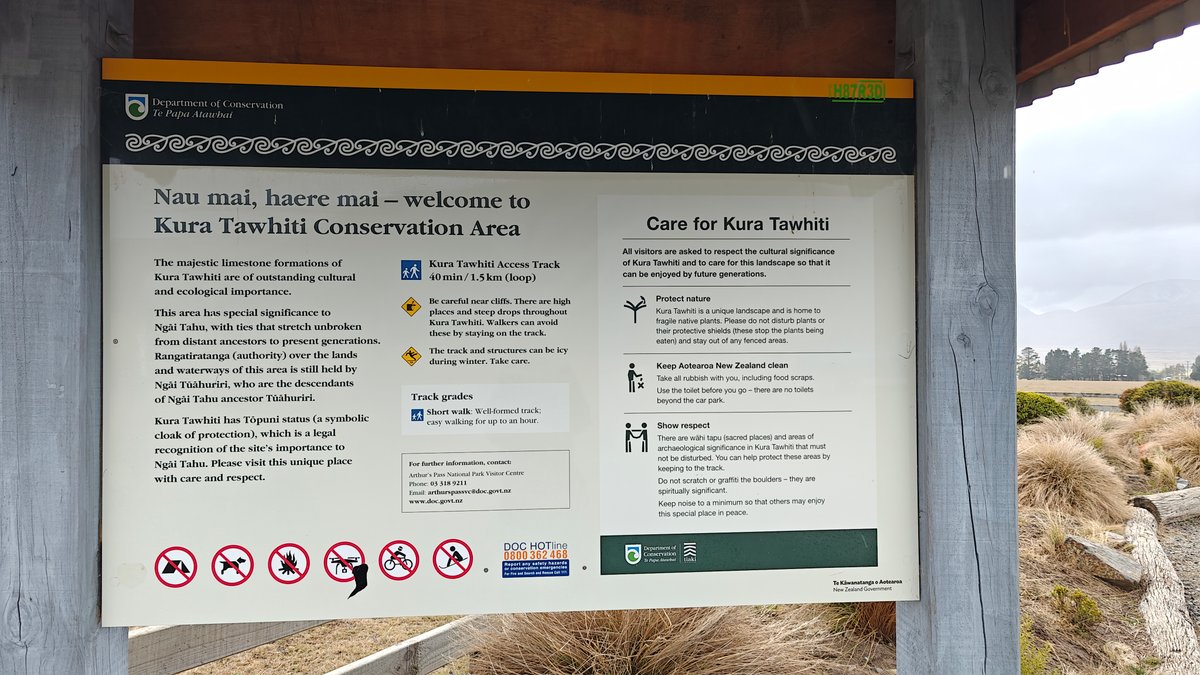
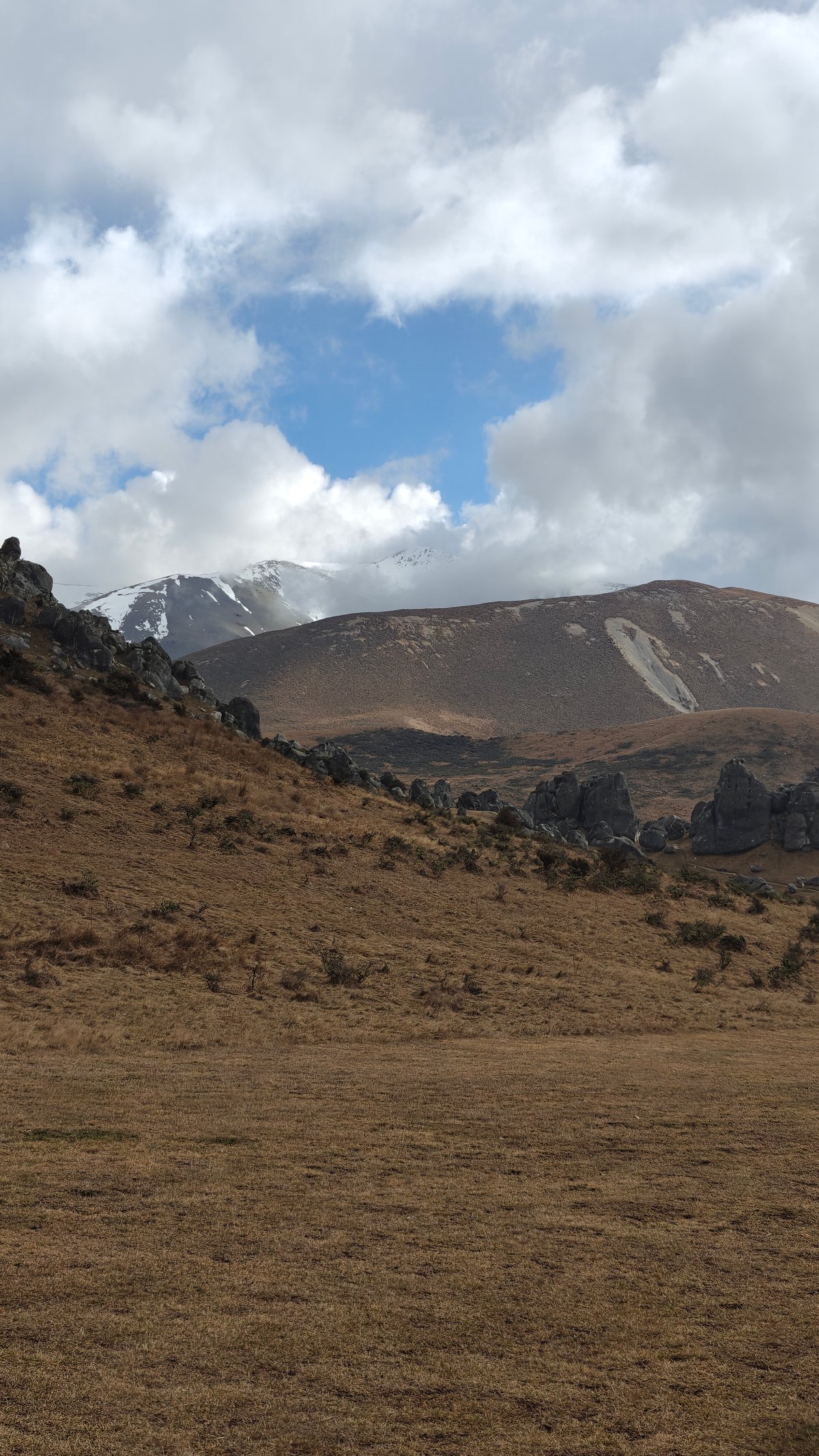
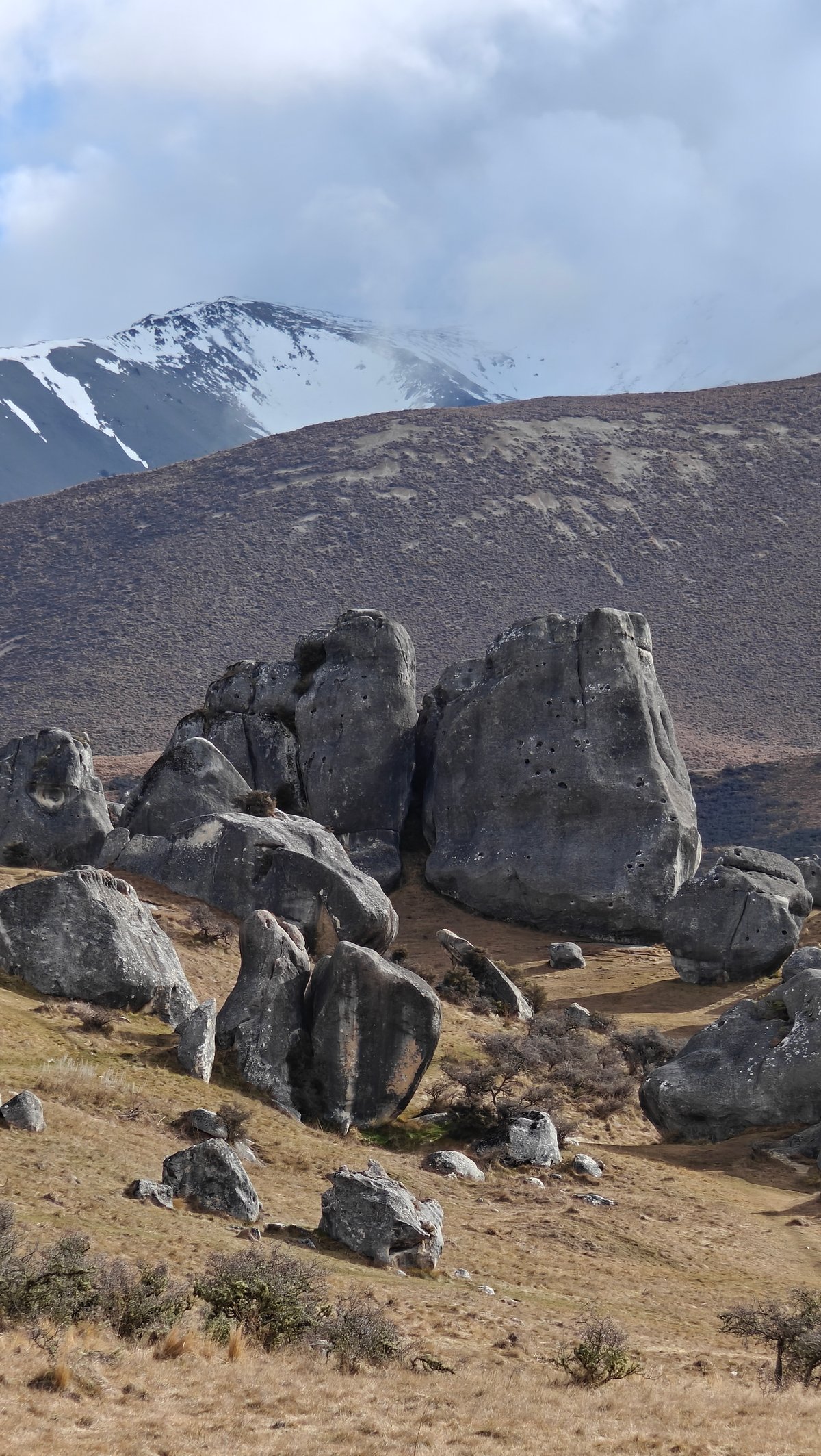
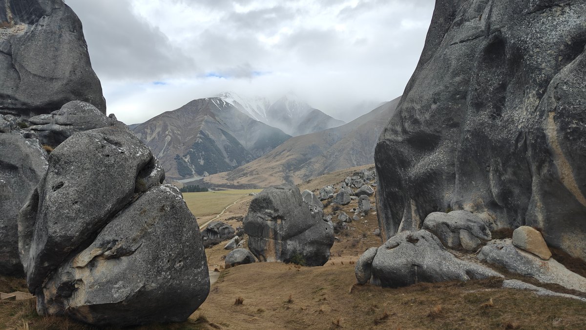
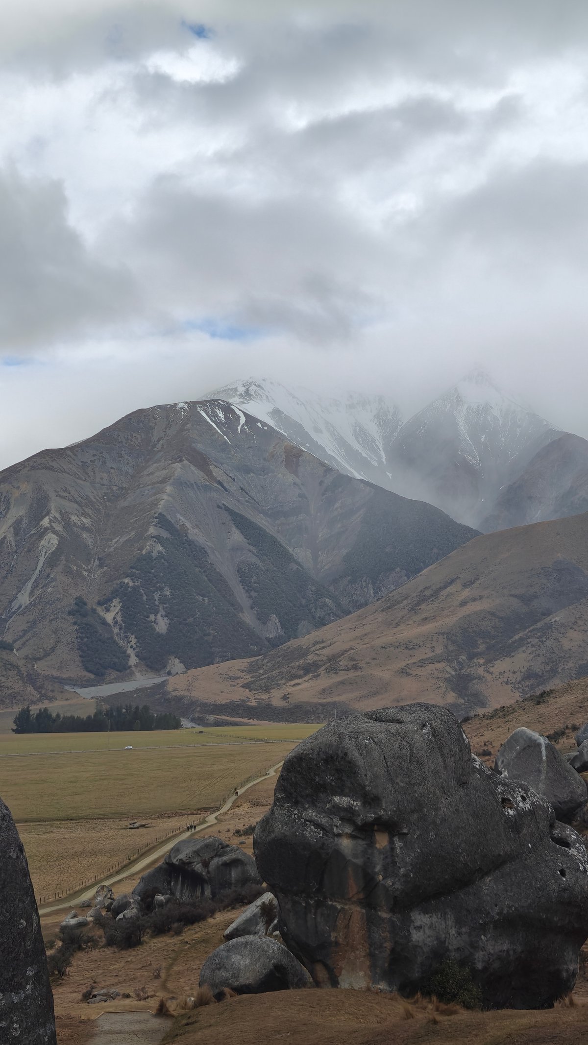
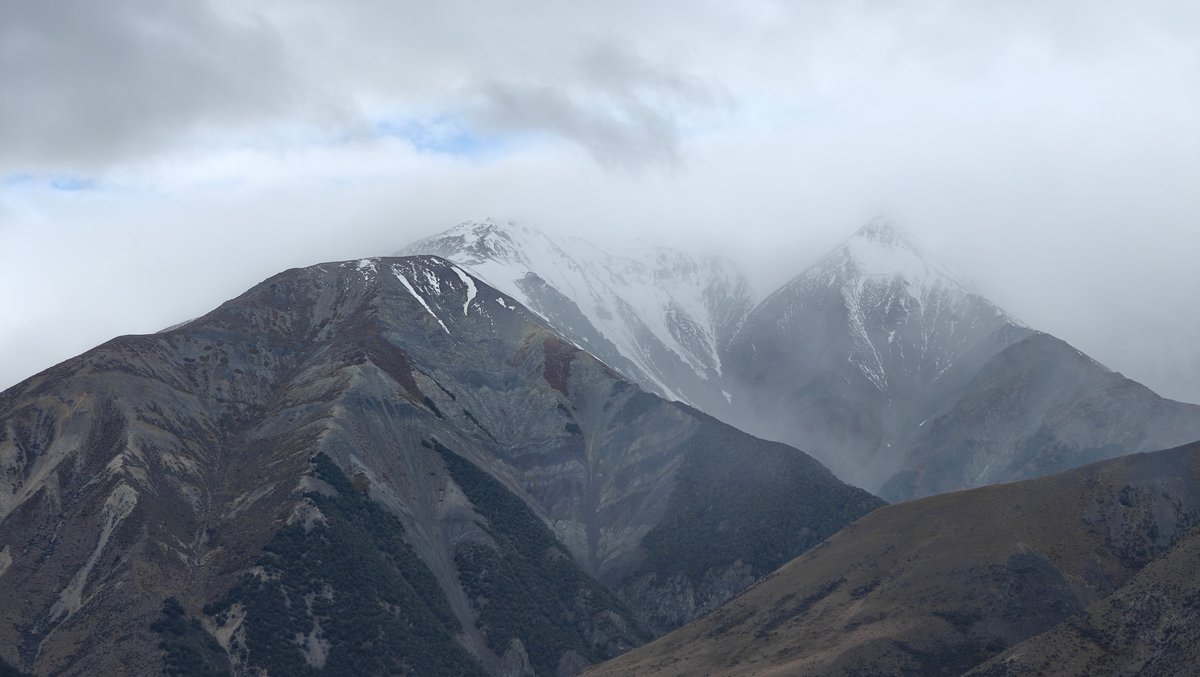
We visited Castle Hill on a grey afternoon.
.. And if I’m honest, it was improved by the weather. Snow dusted the peaks around it, a misty haze wafted through, and the entire landscape had something of an otherworldly feel.
the grey weather actually made this place even better: huge, round boulders are strewn throughout the valley, as if someone dropped them at random over the tussock grasslands. I wandered amongst them for a good half hour and found new ways to angle myself for shots of the mountains behind. It’s also totally free (as it’s a DOC reserve), and even in winter the gravel paths was manageable in regular shoes.
Just make sure to wrap up warm, there’s no real shelter once you get out amongst the boulders and the wind cuts right across the valley.
Elephant Rocks
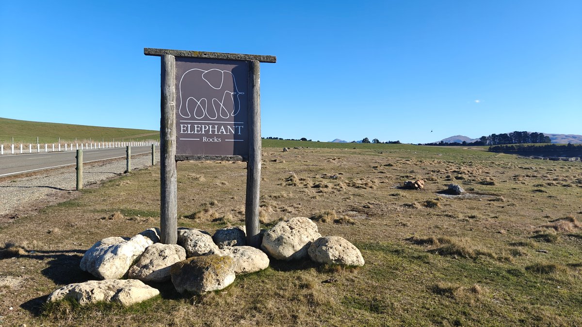
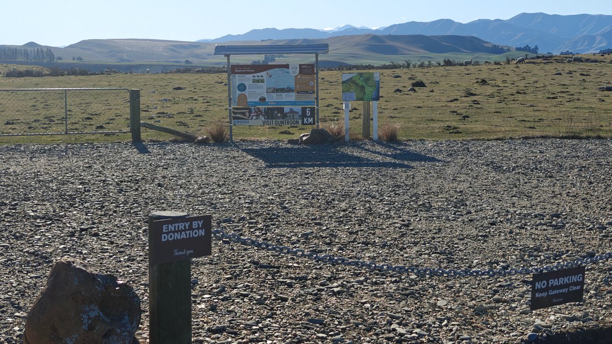
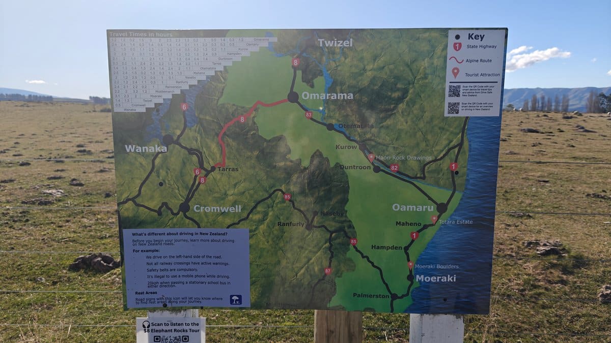
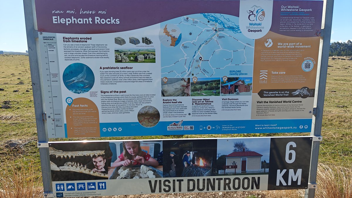
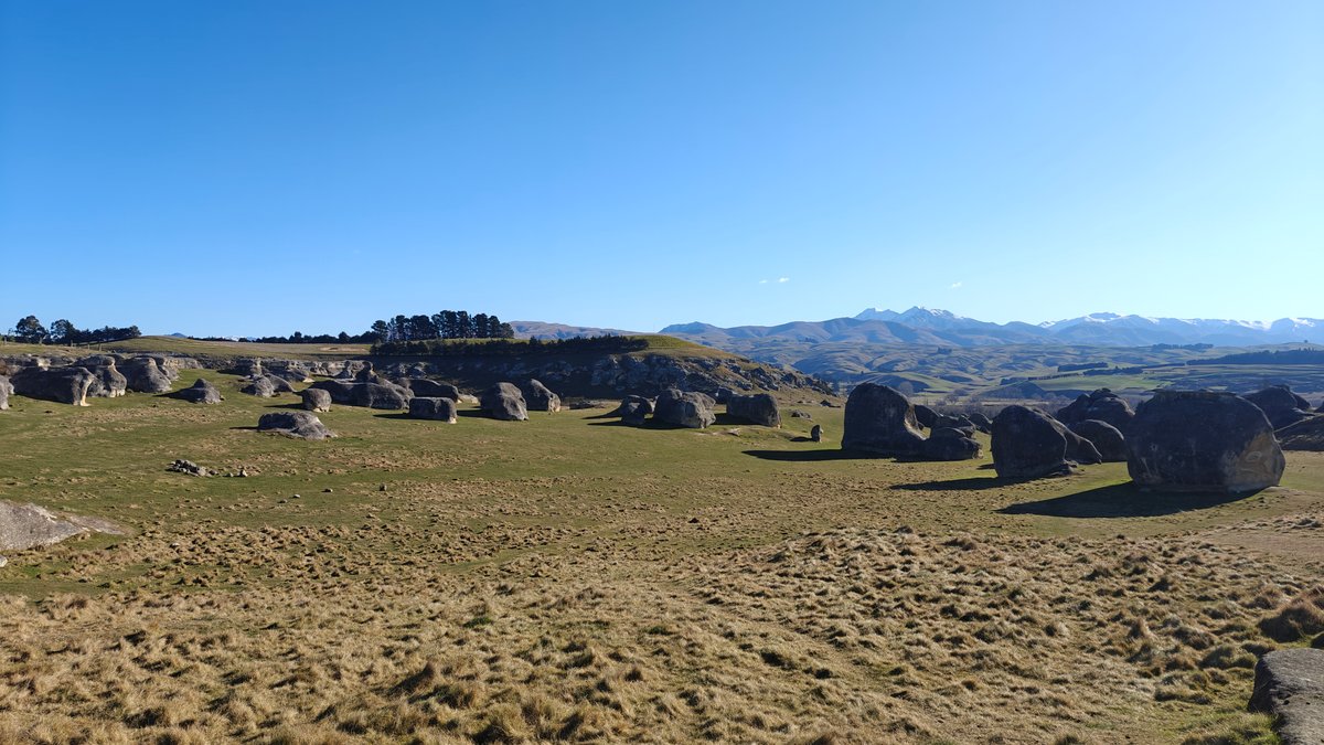
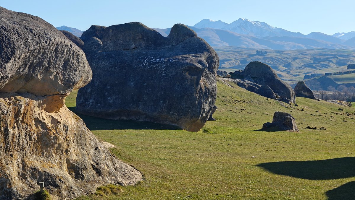
Elephant Rocks is also limestone but of a different formation; more stacked, taller, with gaps and even places where you can wander through.
You pull into the car park and the sign is pretty weathered. There’s a panel with a regional map if you like getting your bearings.
It was what made this visit special in winter… That combination of dry tussock grass down low, the huge weathered rocks in the middle distance and then those snow-capped ranges off in the background. When we pulled in, we were the only ones there and that felt just about right for the season.
There are some pretty cool rock structures to explore. One passage is so narrow that you have to go sideways. The reward comes once you can climb up on one of the higher rocks and look out at that view.
Church of the Good Shepherd
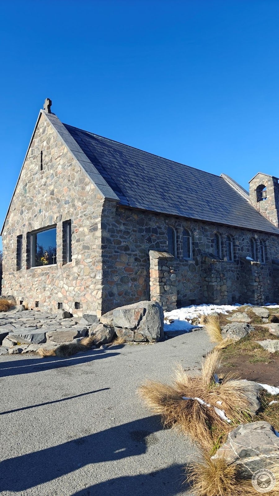
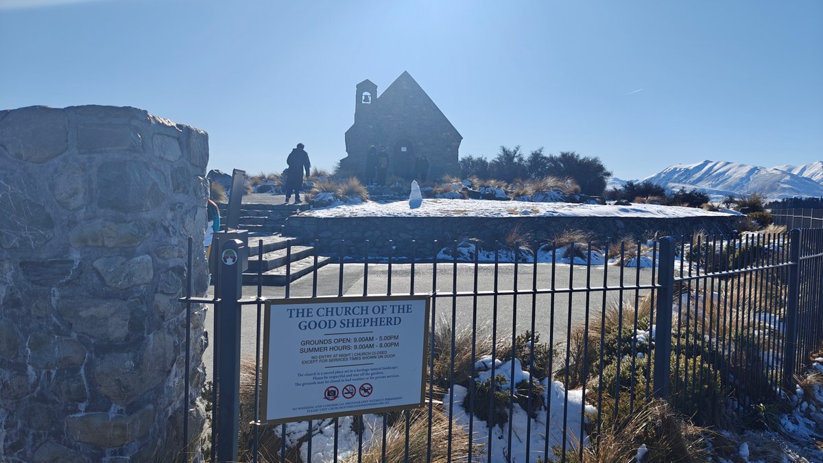
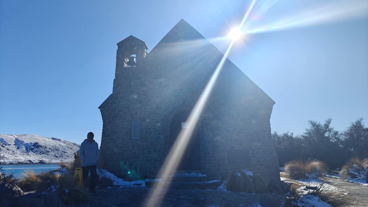
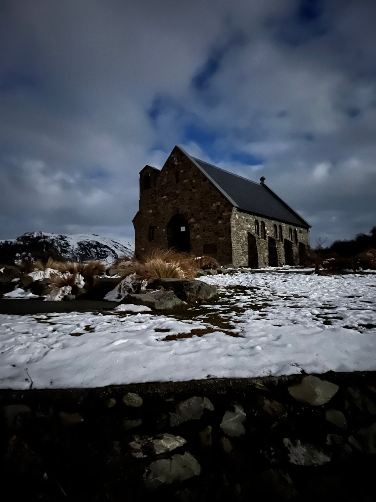
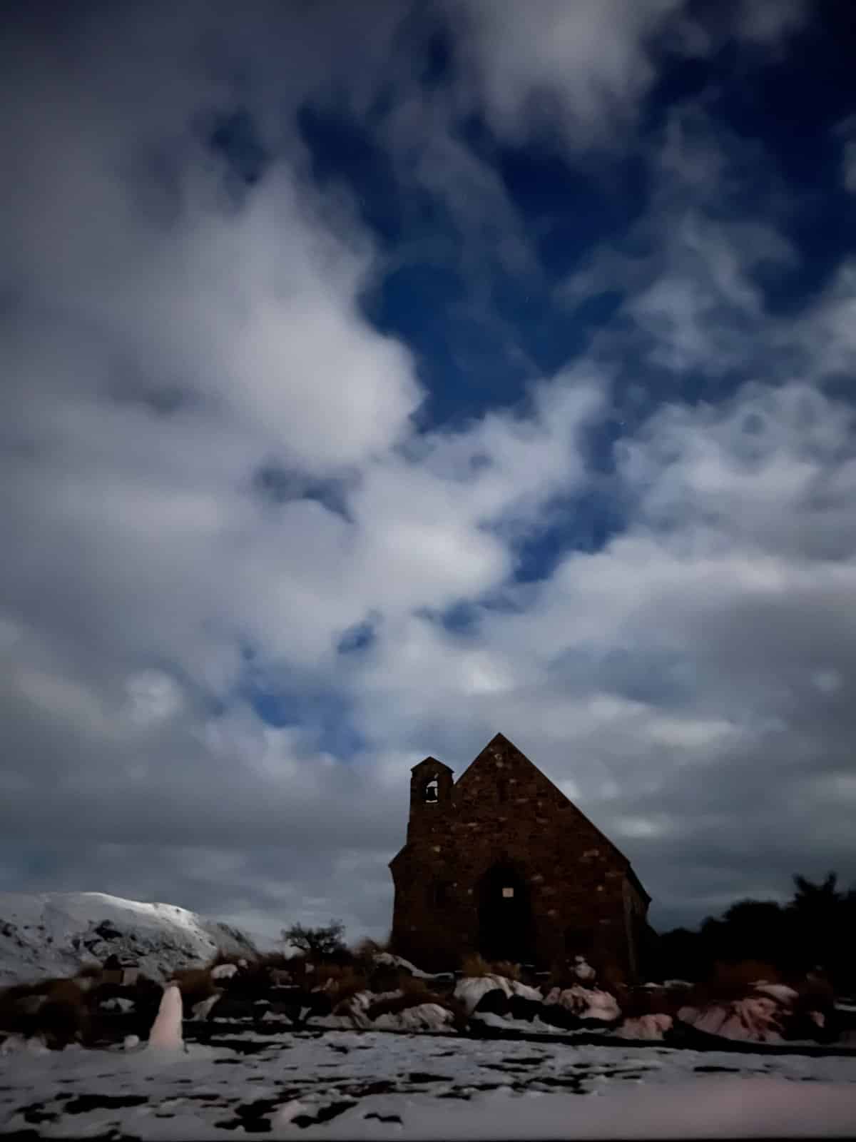
One of my favorite churches anywhere in New Zealand: the little stone church on Lake Tekapo, which is probably one of the most photographed buildings in the country. It was constructed in 1935, and there’s a massive window behind the altar looking out at the mountains across the lake. Better yet, in the winter the scene becomes even more spectacular.
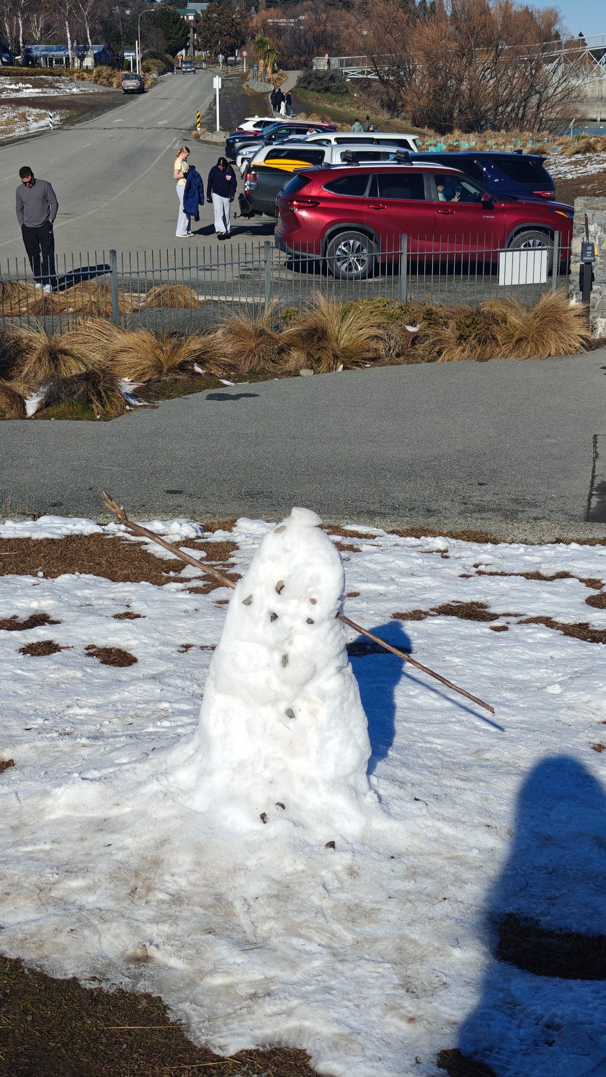
The peaks is covered in snow and the sky turns moody and dramatic. On the day we were visiting, someone had built a happy snowman by the stone wall. Inside, the church is quite small (a couple of rows of wooden pews) but is still used for services, so be sure to be respectful if you want to go inside.
Outside, we hung around, taking in the changing light over the lake and wandering the low stone walls. Although there were a few other people there as well, it never felt crowded.
Astro Cafe (Mount John)
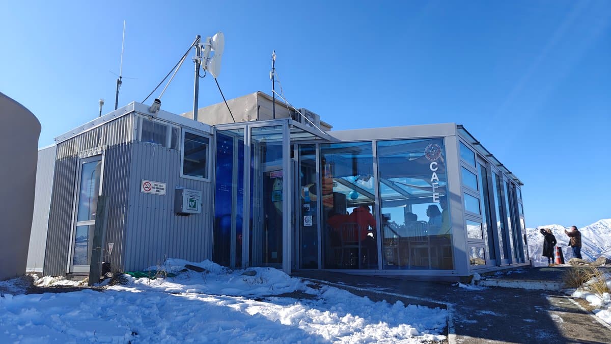

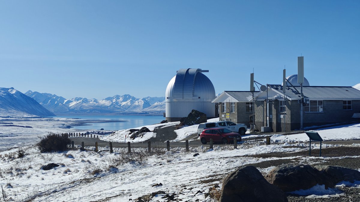
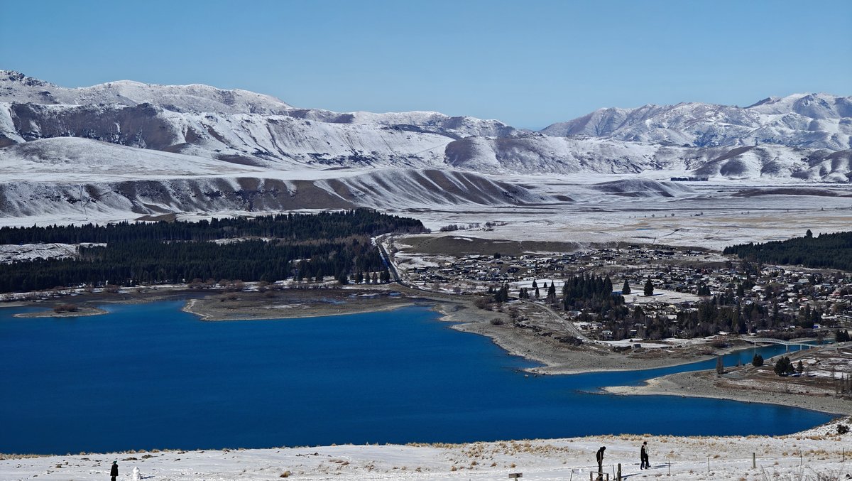
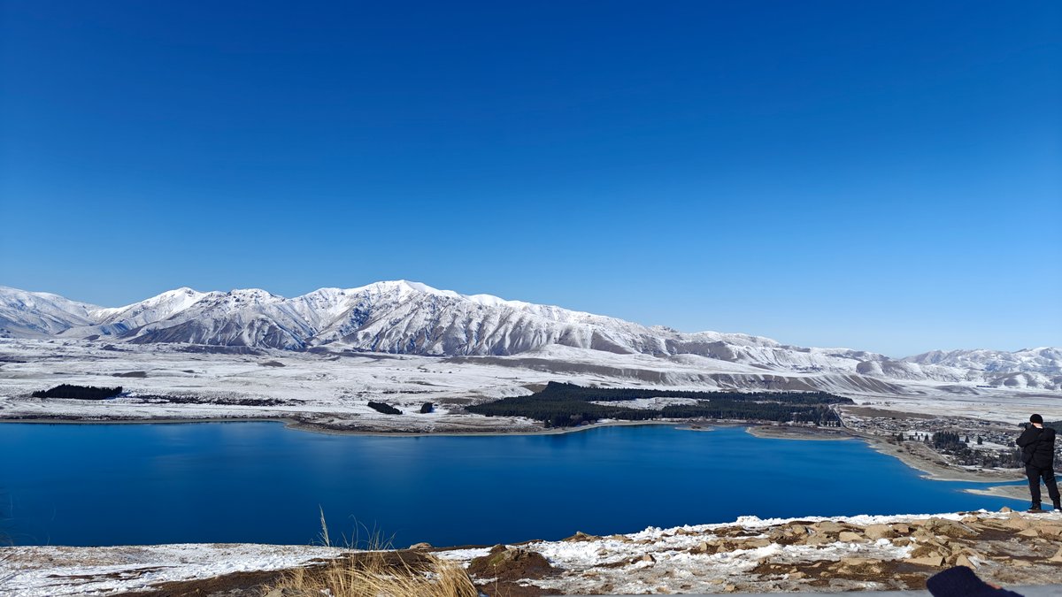
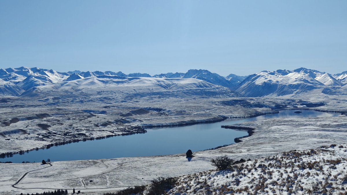
The cafe up at Mount John was absolutely worth the drive. It is up a windy gravel road, so bring your chains if it has been raining or if you are there in winter. Then there is the view.
Several white domes belong to the University of Canterbury‘s observatory and sit on the summit of Mount John. Views stretch in all directions.
Lake Tekapo Surrounding

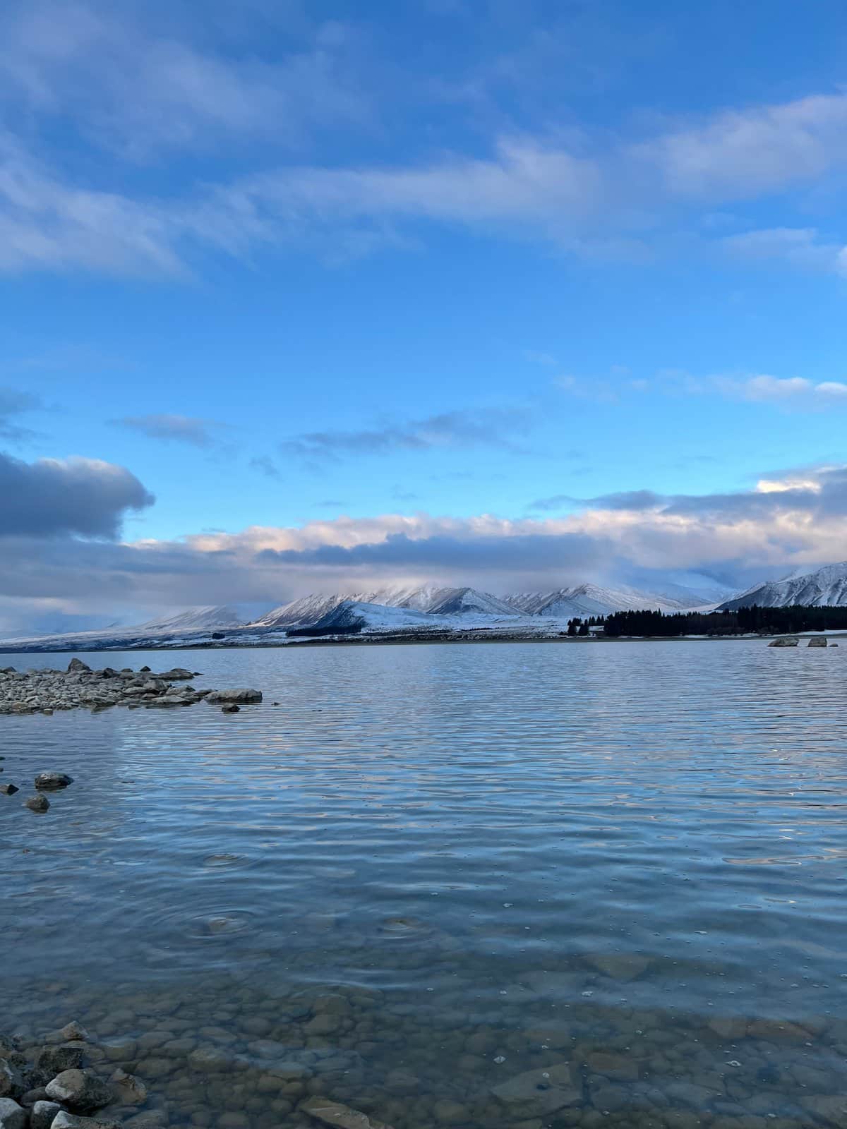
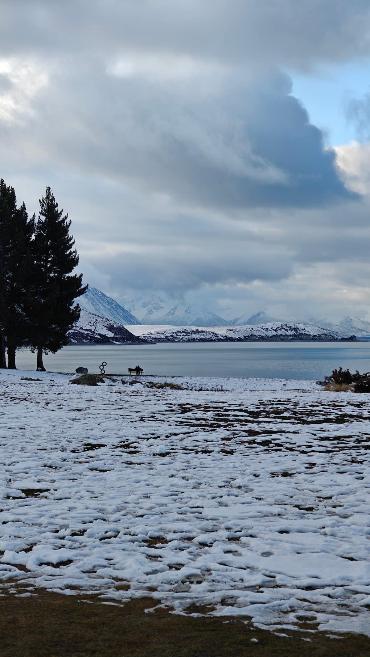
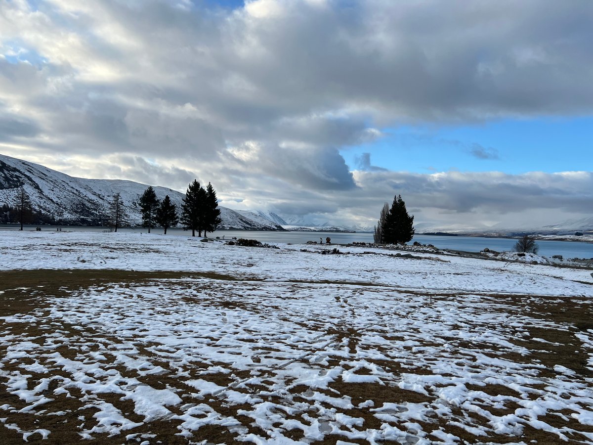
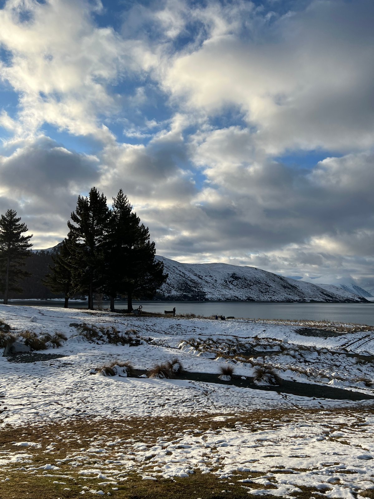
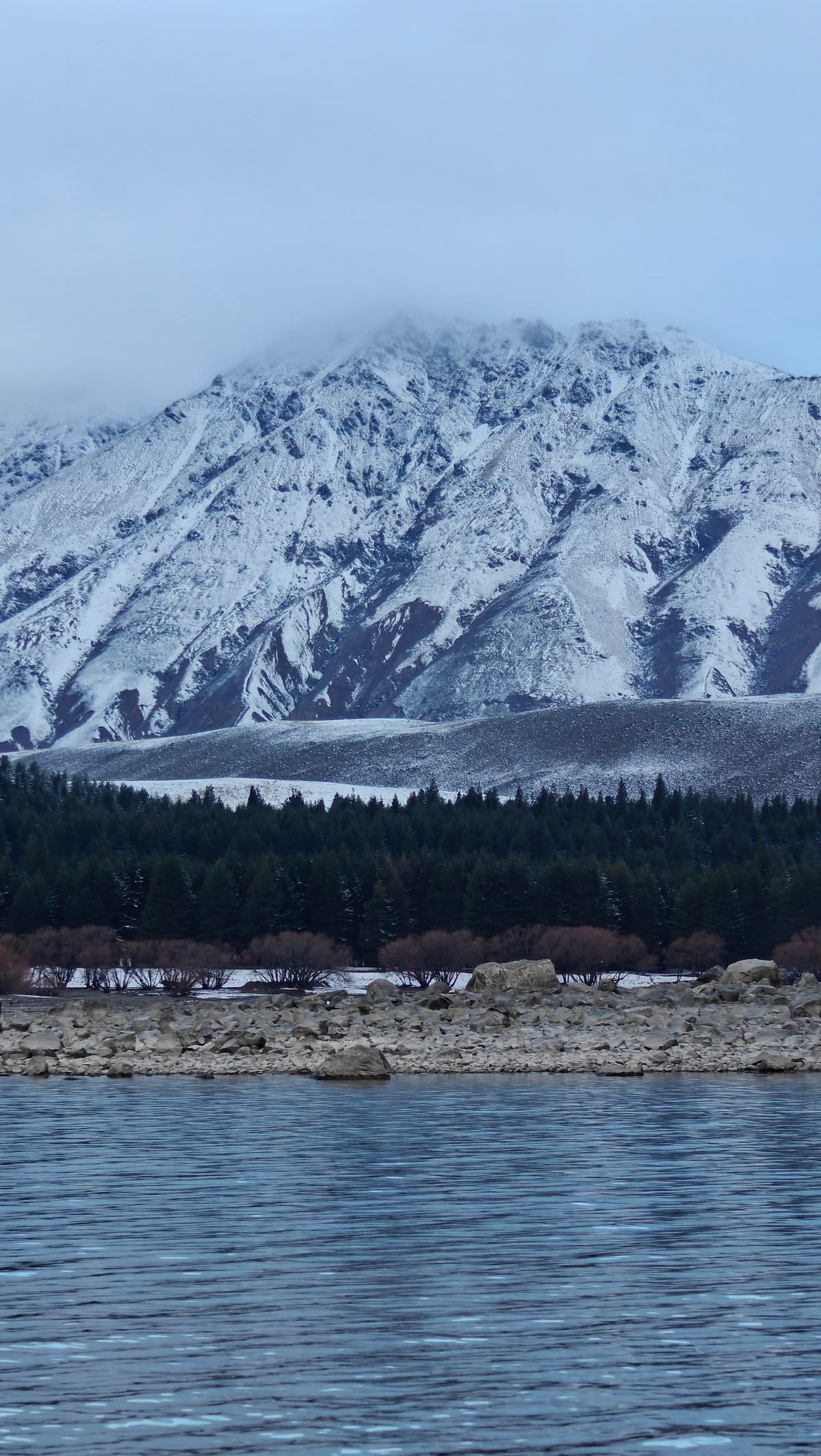
I had a flat white and took a seat beside the floor-to-ceiling windows overlooking Lake Tekapo and the Southern Alps. Even in winter, the lake below is a beautiful shade of turquoise blue, while the snowcapped mountains just continue and continue. While the cafe itself is not fancy (counter service, basic food) it doesn’t need to be when you have such scenery doing all the work.
We lingered for almost an hour, taking in the view. Unfortunately, we came during the day and not at night when the observatory offers stargazing tours. But there’s more to explore around Lake Tekapo than just the cafe and the church: Lake Tekapo itself is worth seeing on foot.
The water is actually that color, turquoise with a milkiness to it (glacial flour), clear enough at the edge that you can make out the rocks on the bottom. There are stretches of gravel beach where the grasses comes right down to the water. Snow coats the ground in sheltered areas, and a line of pine trees is planted against the mountain.
Mount Cook Surrounding
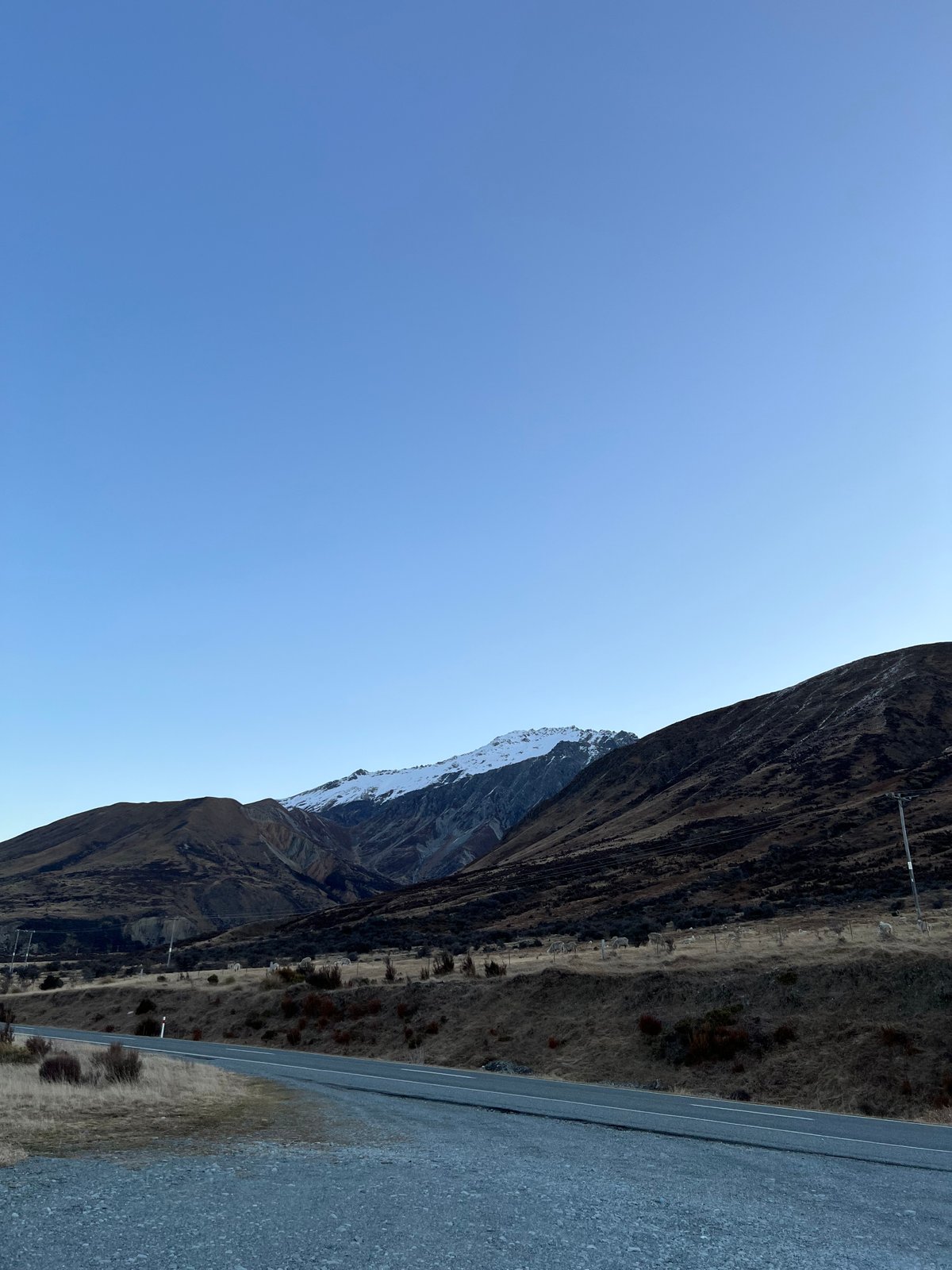
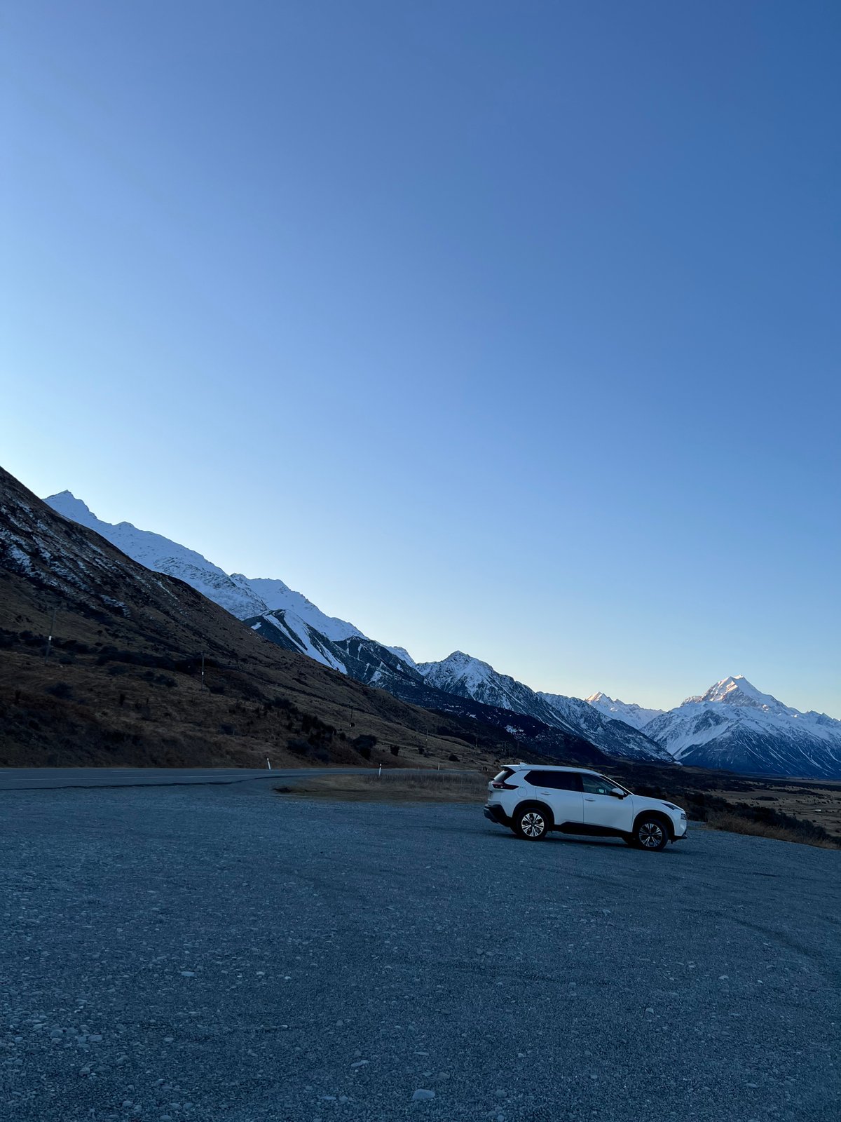
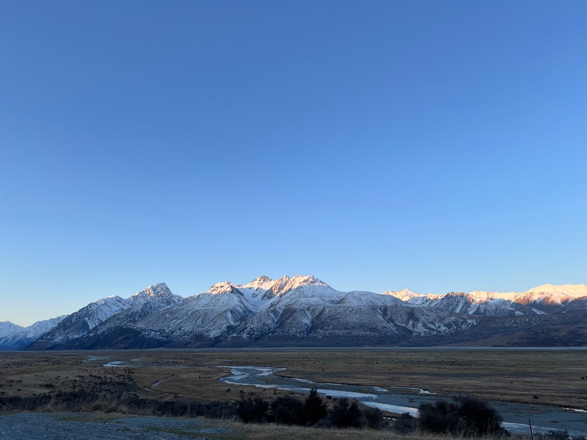
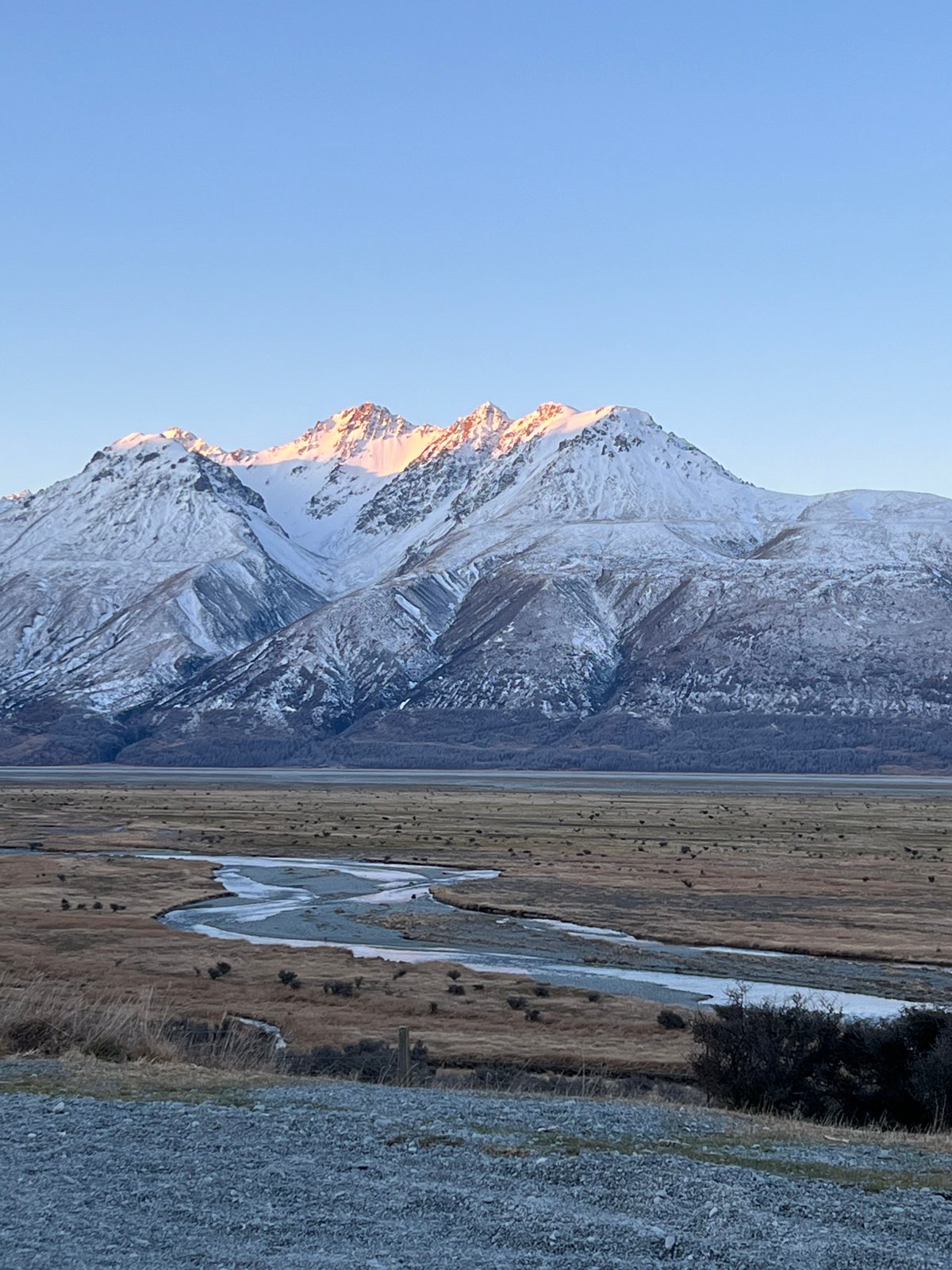
You walk alongside the lake until the sky lights up for a few minutes before turning dark again. It changes so much; one second the light is flat and gray, the next it breaks through the clouds and highlights a single mountain. You take way too many pictures (to be honest) and then delete half of them later when they all seem so similar.
But in the moment? Each change was worth recording. If you’re hoping to get good light, you need to be up and driving towards Aoraki / Mount Cook early in winter.
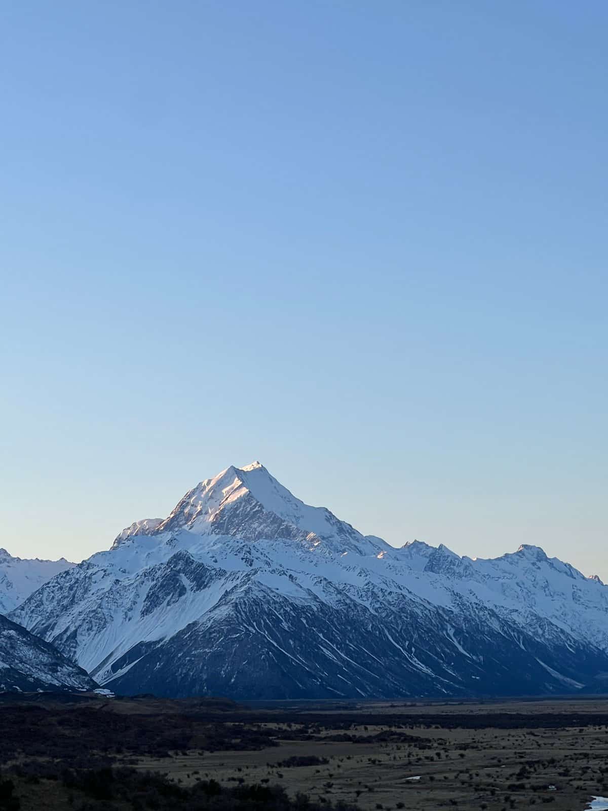
We were out the door before dawn and watched the first rays hit the peaks as we drove towards them through the tussock country. For a while, the road runs along the braided Tasman River and there are lots of gravel pull-outs where you can stop to look at the scenery.
Hooker Valley Track
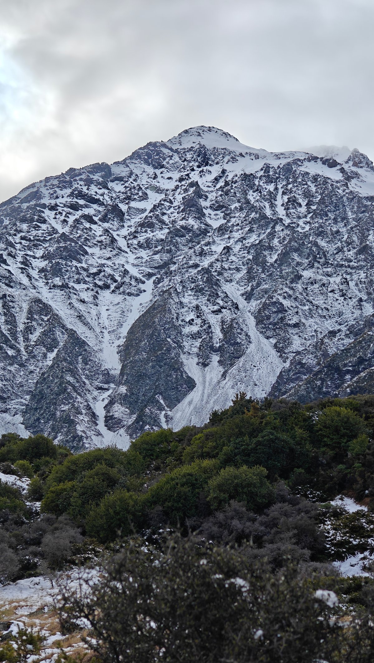
As soon as you spot Aoraki itself, New Zealand’s highest peak (looming above all the others), you know exactly what you’re looking at: a sheer pyramid of snow that rises above everything. Sunrise is not long-lived but worth waking up for. At one pull-out, we parked, turned off the engine, and stood still and cold while the light worked its way down the mountain.
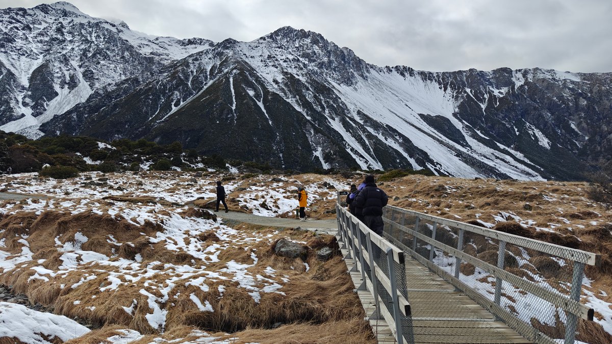
There was nothing but us, the wind, and the sound of the river. One of the most popular day hikes in the Mount Cook area, the Hooker Valley Track can also be done in winter, provided you’re ready for snow and ice on portions of the trail.
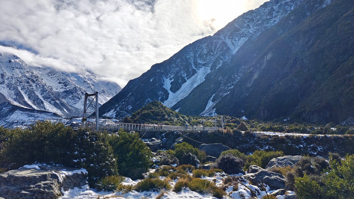
Beginning from the White Horse Hill campground, the track runs alongside the valley floor and across a few swing bridges before reaching Hooker Lake.
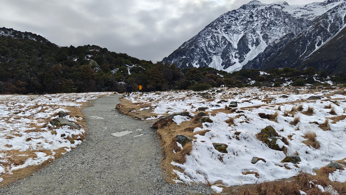
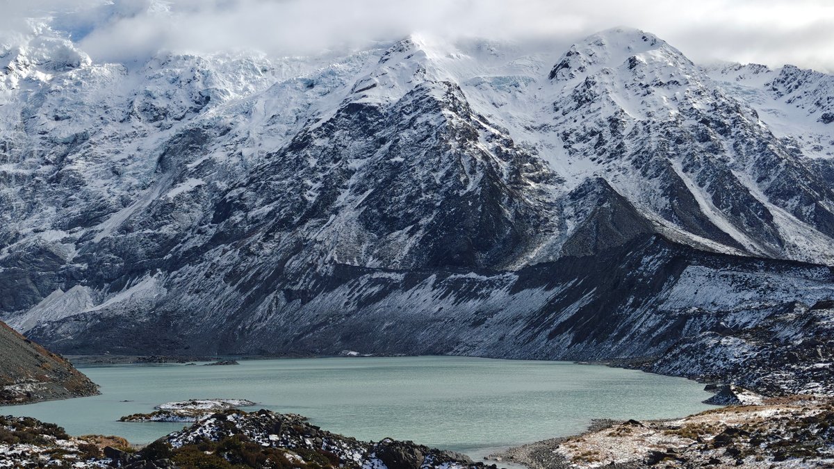
Some of the boardwalks were snow-covered, and there was a light dusting of white all over the tussock surrounding us that crunched beneath our feet. Below steep snowy slopes, Mueller Lake (partway along) was a pale glacial blue. The swing bridges were a little slippery but fine, and the views only improved as we neared the head of the valley.
Unfortunately, we never made it all the way out to the lake. The trail became increasingly icy and we lacked crampons. However, even at the halfway mark, it was more than enough.
Blue Lakes
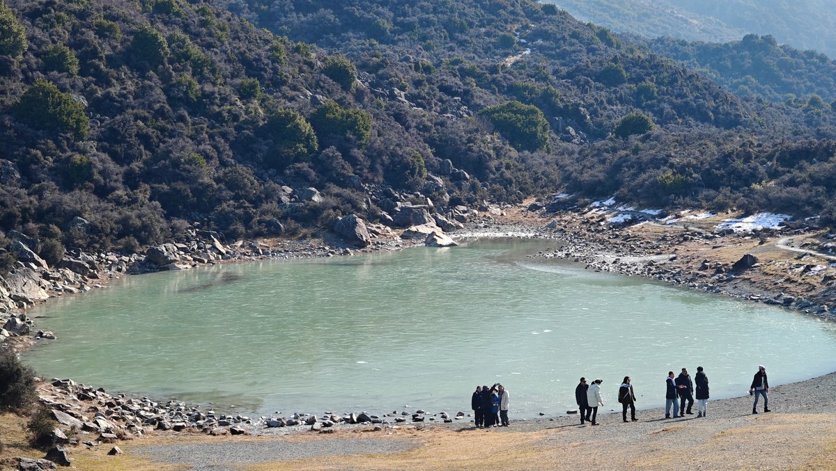
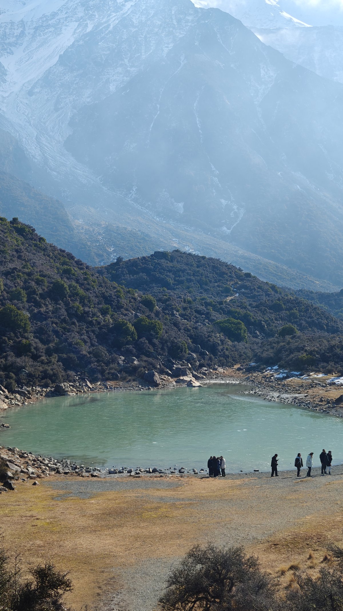
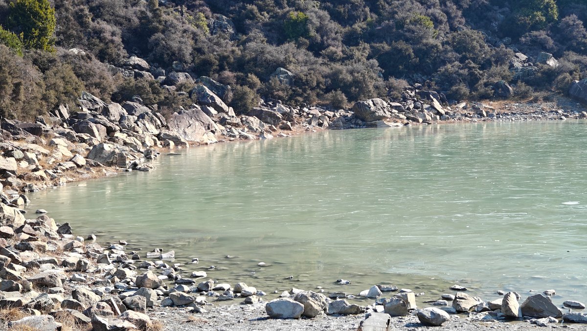
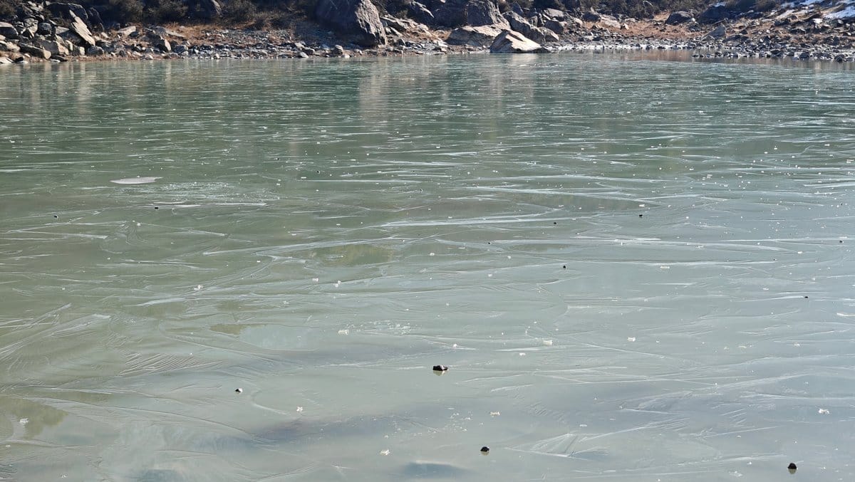
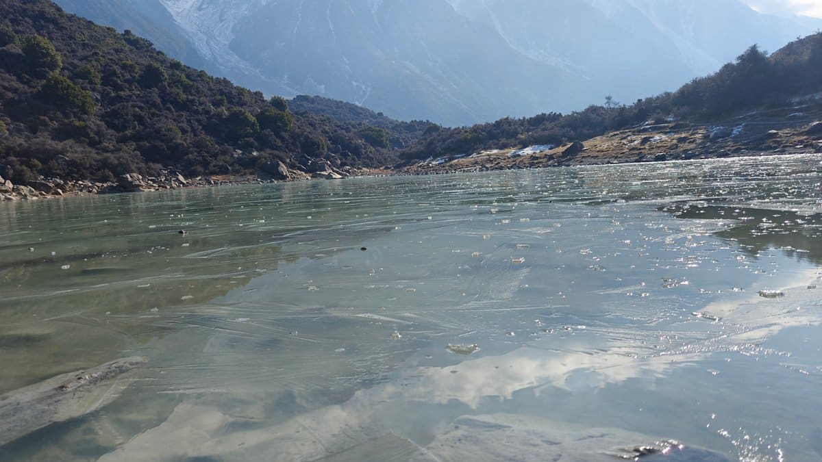
Blue Lakes: A brief detour off the Tasman Valley road, these lakes were partially frozen over when we visited in winter. They are shallow basins of pale turquoise water, strewn with boulders along their shores, with hazy mountain ranges rising beyond them. In parts, the ice is only thin, a clear layer across the surface; other sections, where it has frozen smoothly, reflect the surrounding peaks.
You can crouch down beside the shore and stare into the patterns the ice makes for some time, not solid enough to cross, but solid enough to make it interesting. It takes maybe twenty minutes there and back from the car park, but it is worth it if you find yourself driving through the valley.
Tasman Glacier
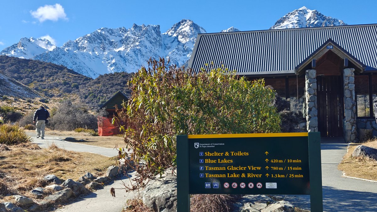
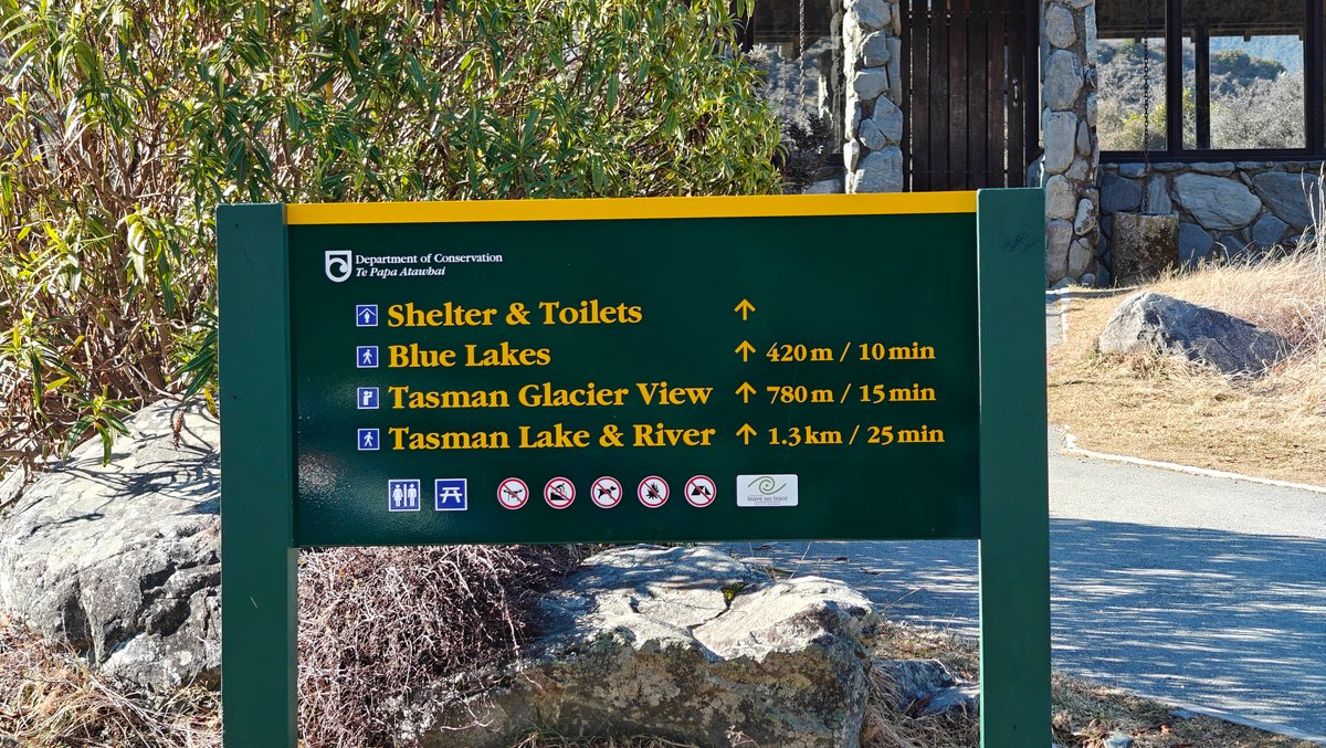
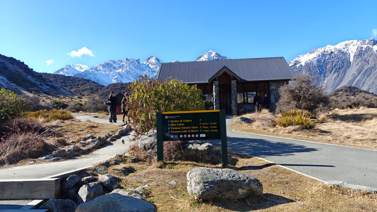
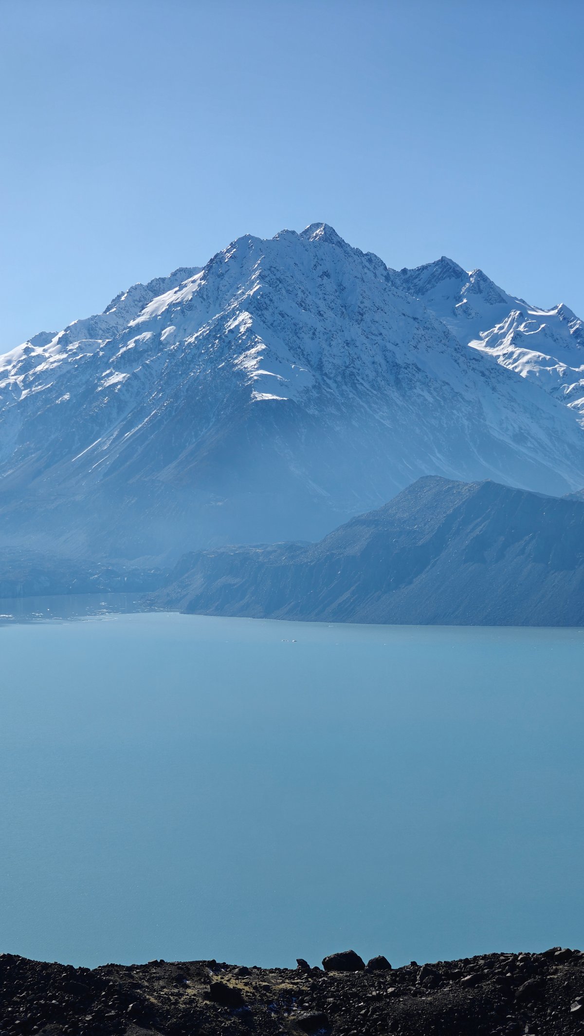
An easy 10-minute walk from the car park takes you along a well-formed track up to a shelter featuring some information panels and then onto the Tasman Glacier viewpoint.
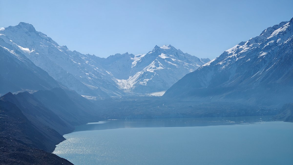
Here you overlook Tasman Lake, a long glacial lake filled with icebergs that have calved off the end (terminus) of the glacier. The lake is a milky grey-blue colour, and in the distance you’ll see Aoraki rise above it all.
You won’t be able to see much of the glacier itself because most of it sits beneath moraine and rocks now. It is retreating quickly. However, the size of the icebergs floating in the lake and the scale of the valley will give you a sense of what’s happening here.
We lucked out with clear skies. If you want to know more about how glaciers work, there is some info about glacial retreat in the shelter. Otherwise, you might spend as much time gazing at the view as I did.
Tasman River Track

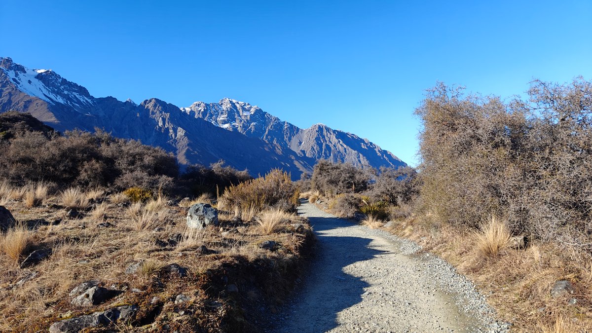
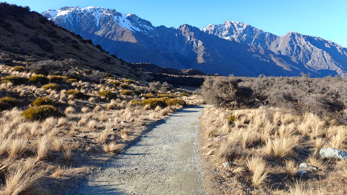
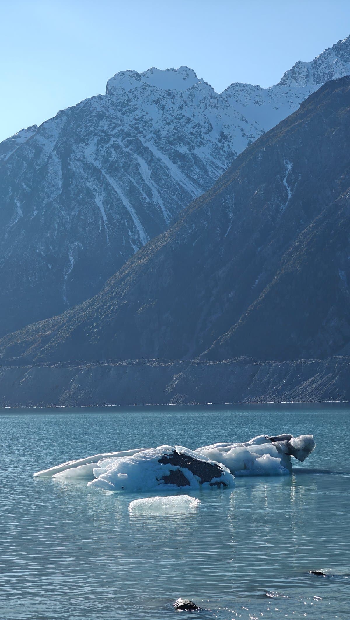
Less popular than Hooker Valley (which I guess means we pretty much had it all to ourselves), the Tasman River Track follows the edge of the valley out past open tussock flats with gravel underneath, then past a string of little glacial lakes. It’s only an hour or so round trip. There wasn’t really time to do it in one go, though that would of been nice.
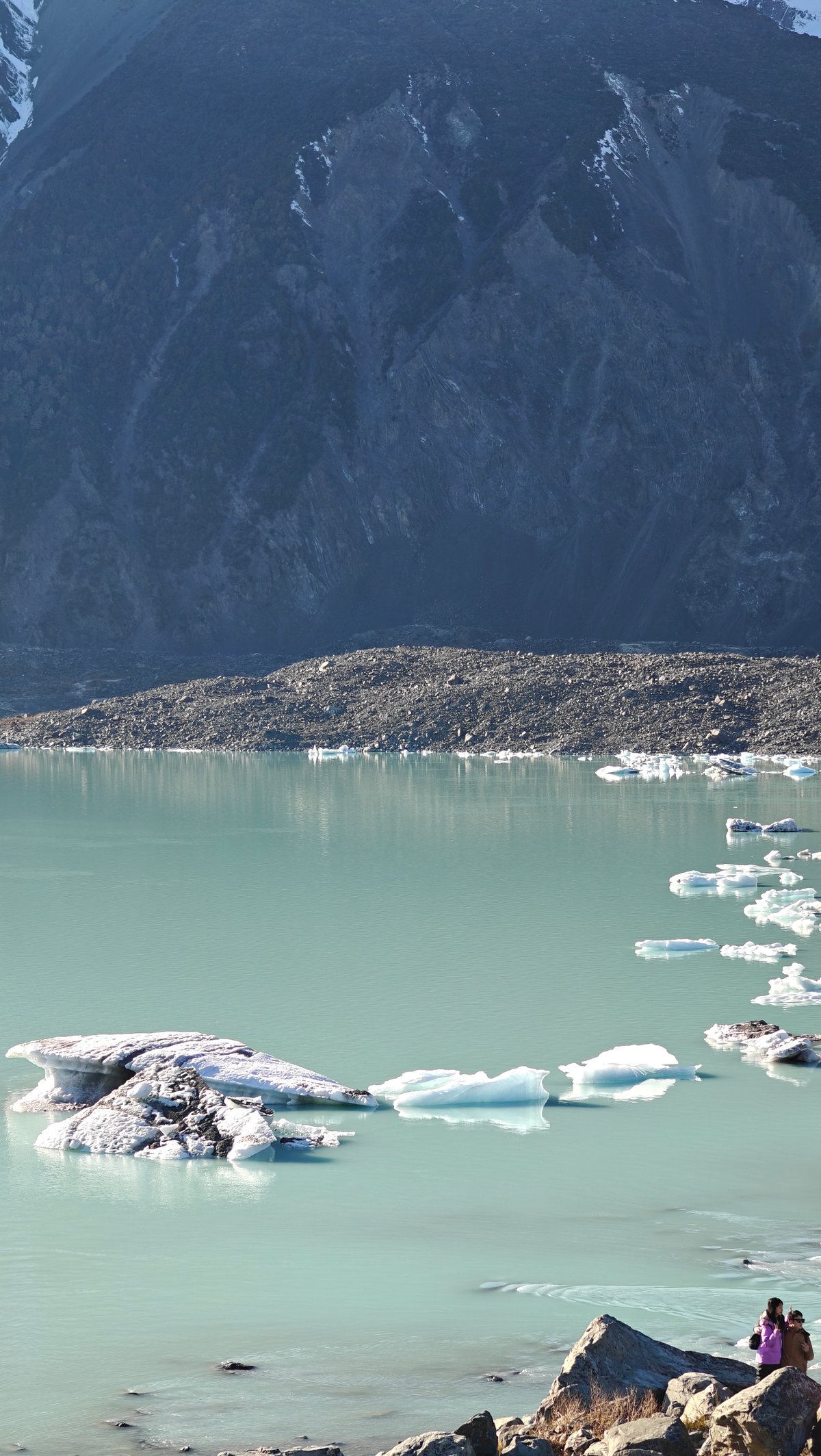
It is peaceful, though. In the mornings you can hear the crunch of frost on the track and see the dry gold tufts of tussock in the winter sun. At the far end are a couple of little lakes strewn with icebergs, smaller bits that break away further up the river and drift downstream.
They’re strange when you get right up close to them: clear ice with sediment streaks inside, some tiny as suitcases, some as big as cars. Their effect is caused by how they refract light; that makes the water look turquoise. We walked for a bit around the shores looking at different ones.
It was not a long walk at all, maybe an hour return, but it was worth doing because of the icebergs.
Helicopter Ride Tasman Glacier
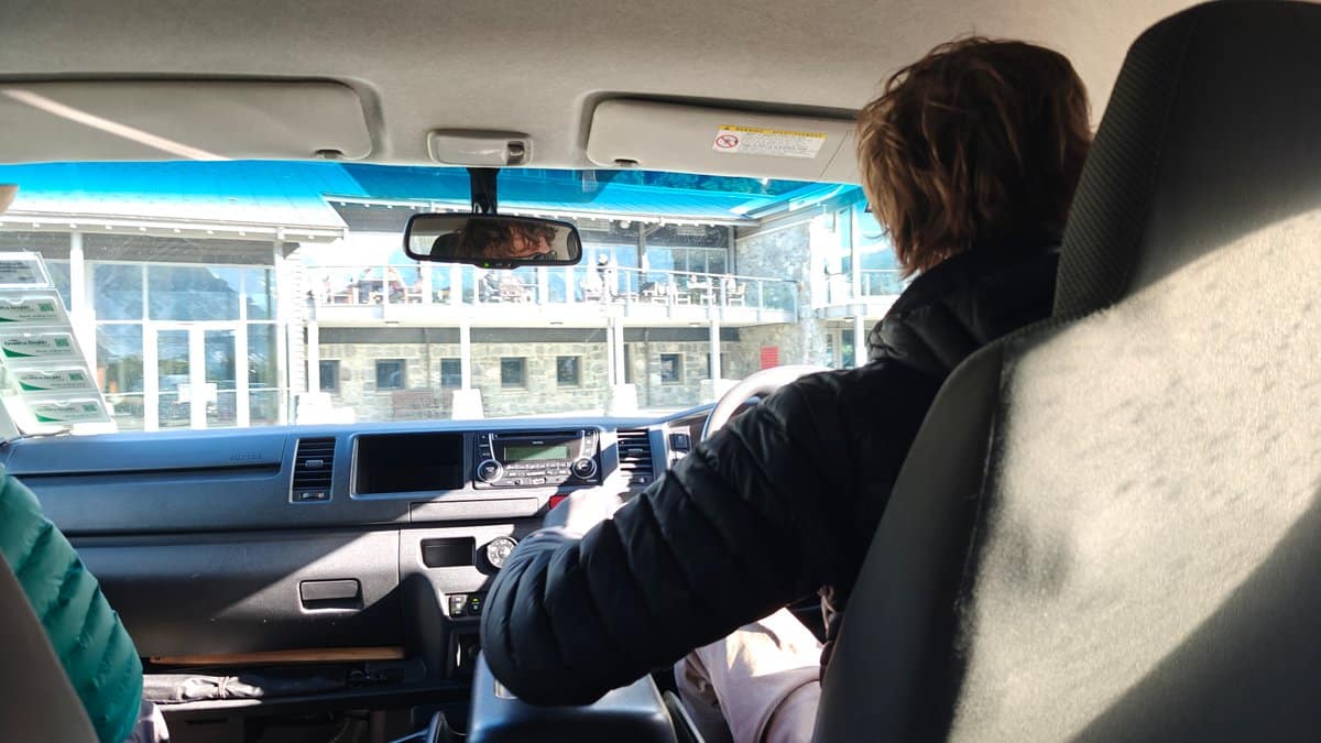
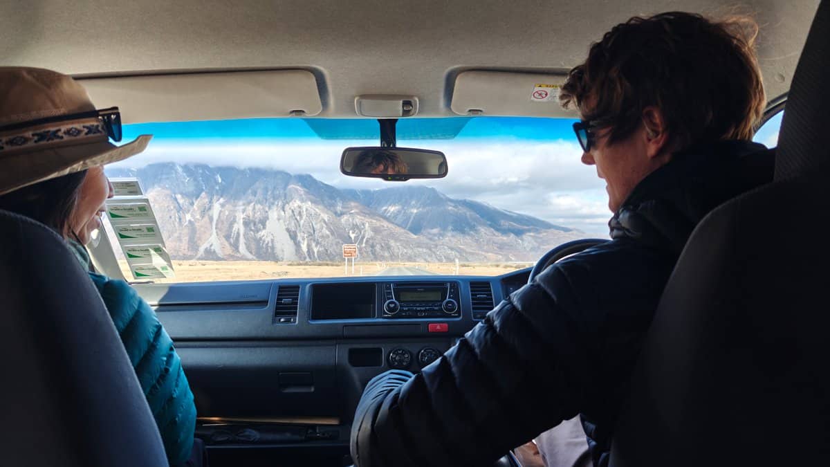
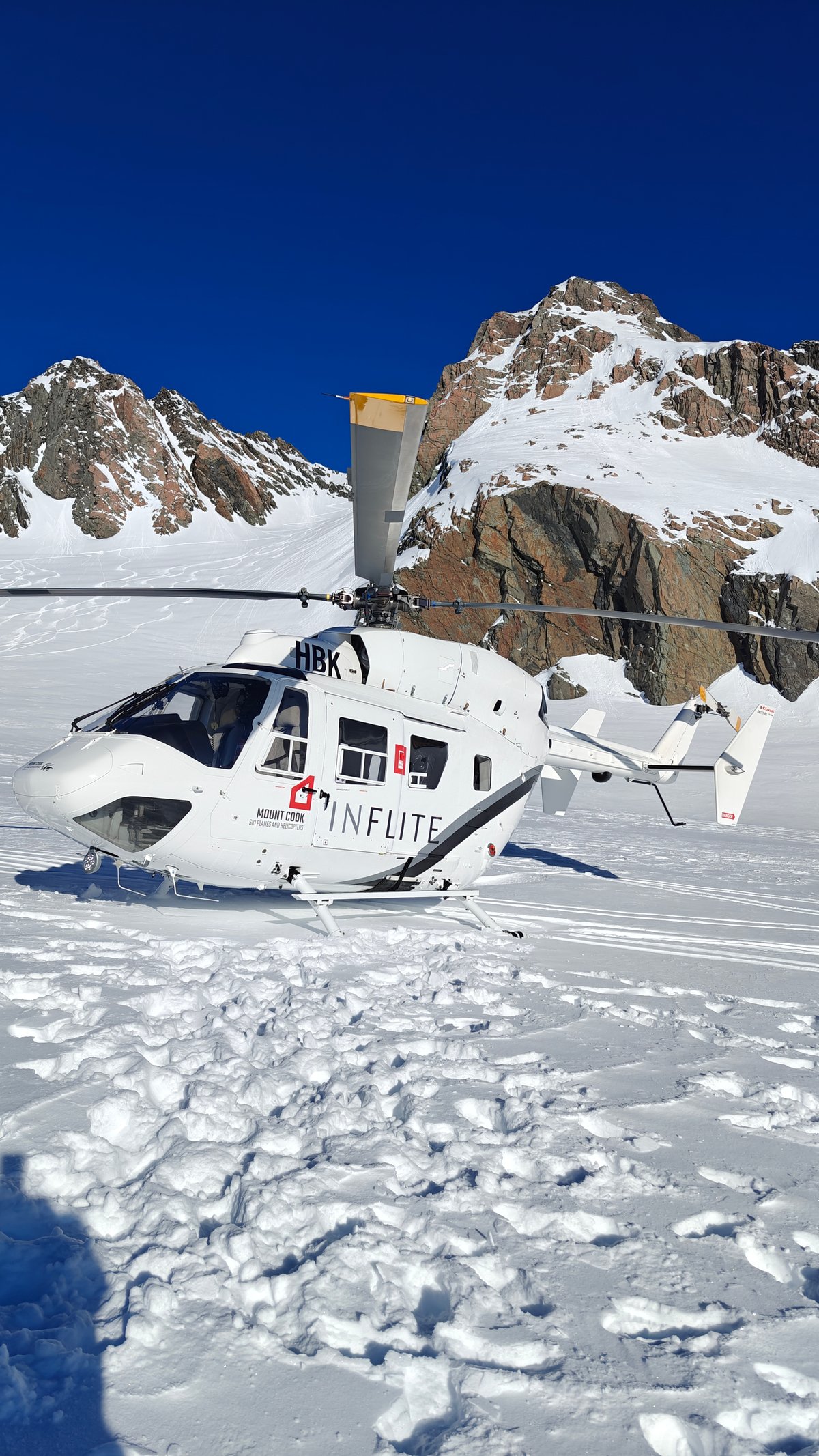
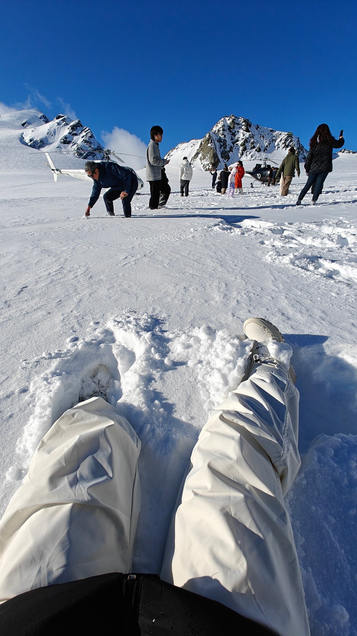
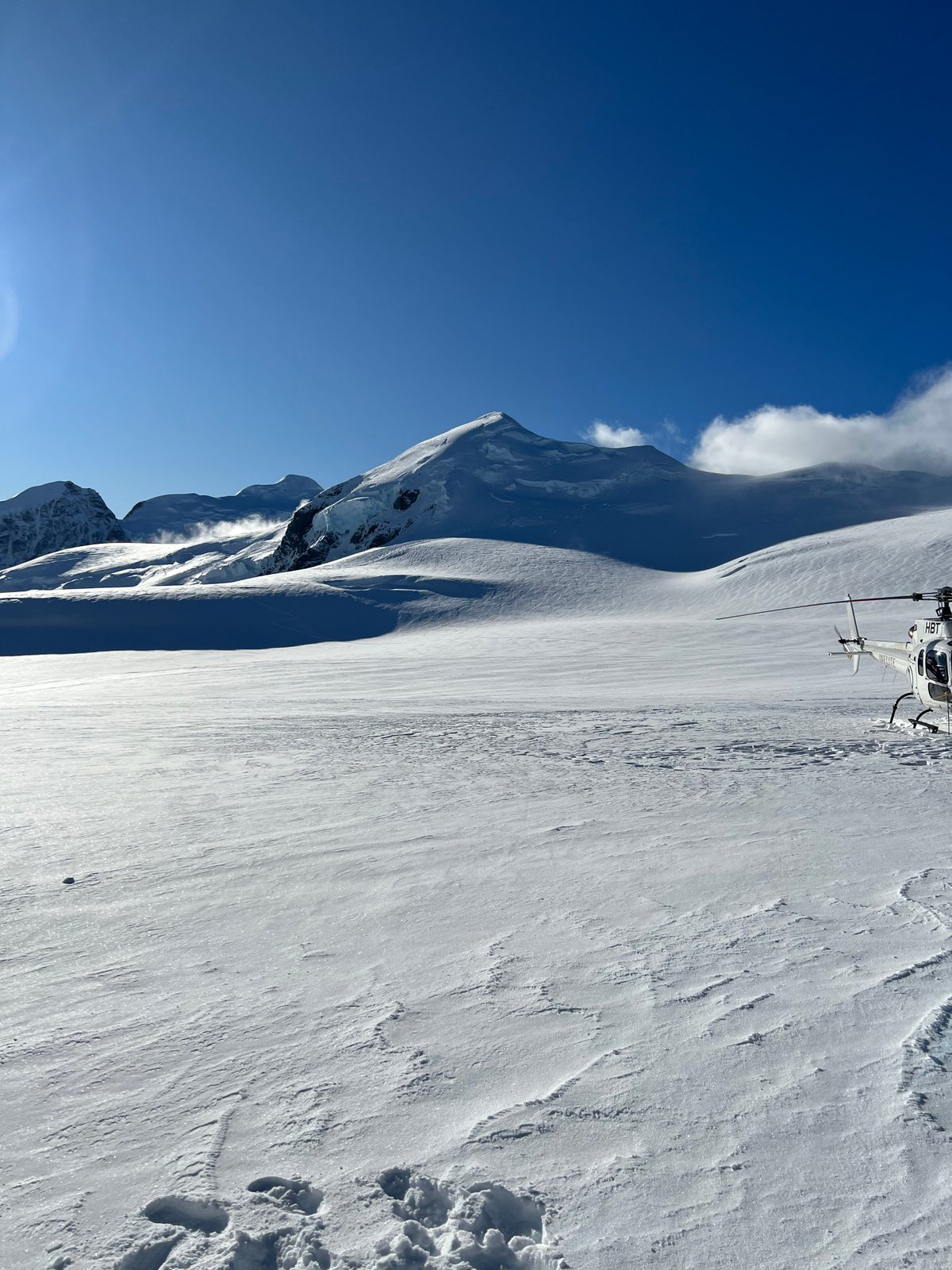
The helicopter was another thing that sounded cool but was really expensive, and I have always been more inclined towards the hiking variety of travel. However, landing on a glacier in the middle of winter ended up being one of my favorite moments of the trip. After taking a shuttle bus from the Mount Cook village we rode out to the helipad, then took to the air minutes later as we soared above the valley.
It’s only a short flight, perhaps ten minutes to reach the snowfield where we landed, but seeing everything from the sky is entirely unlike what you’ll experience from the ground. We came down onto an expansive snowfield high on the glacier, climbed out, and stood there for fifteen minutes in total quiet with nothing around us except mountains and ice. We landed close by the helicopter, with its rotor blades still, and realized just how small we were in comparison, a dot on a sea of ice.
We had some time to walk around and snap some photos before the pilot whisked us away up the valley again. Absolutely worth every penny.
Glenorchy Wharf
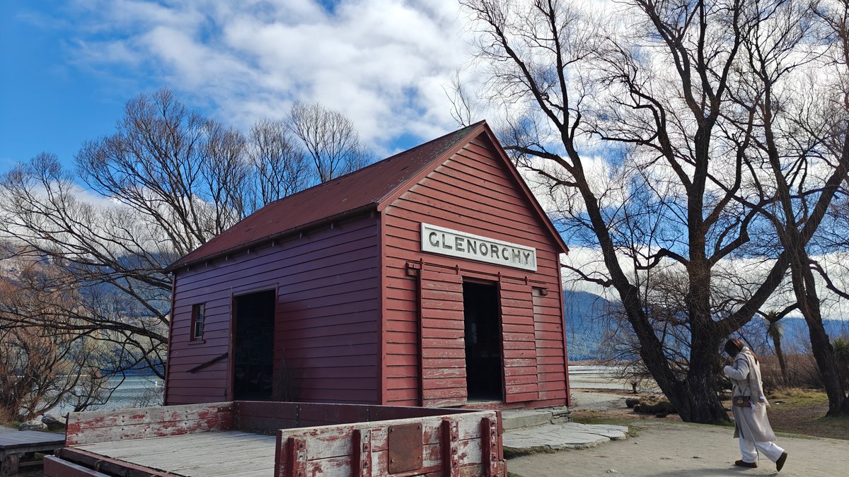
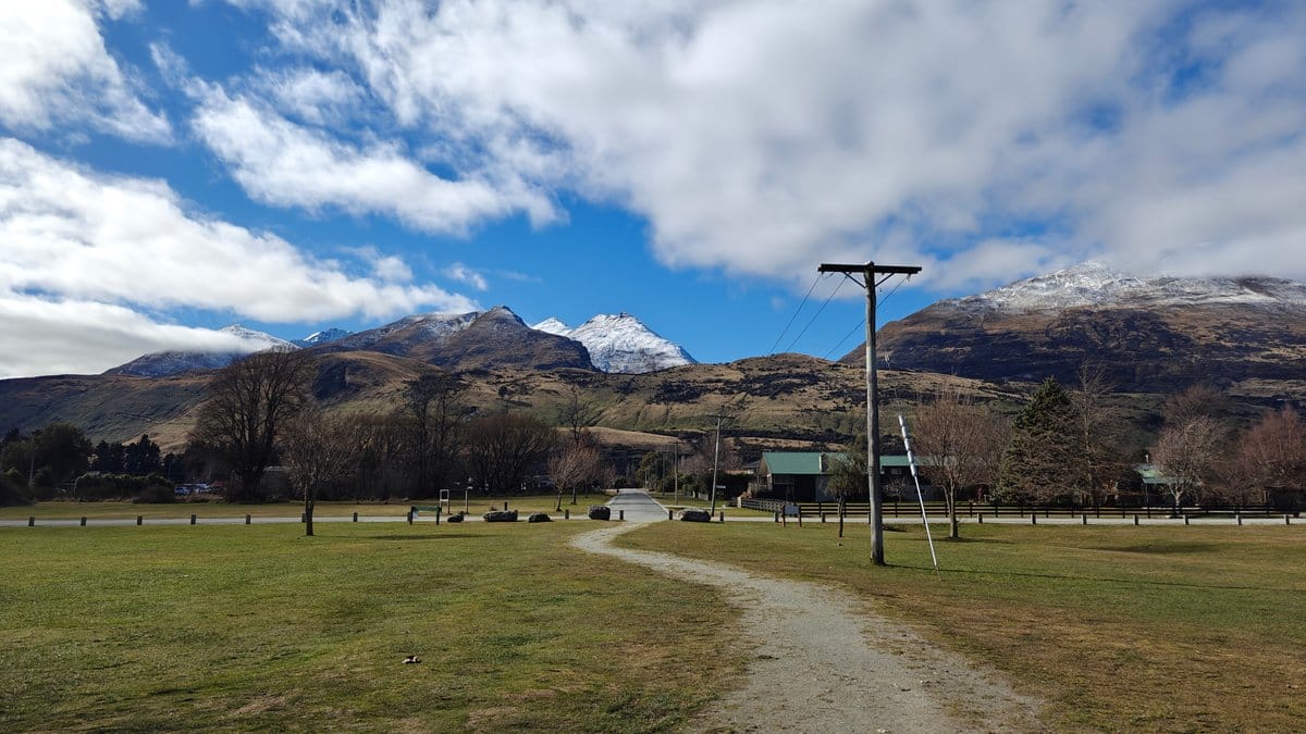
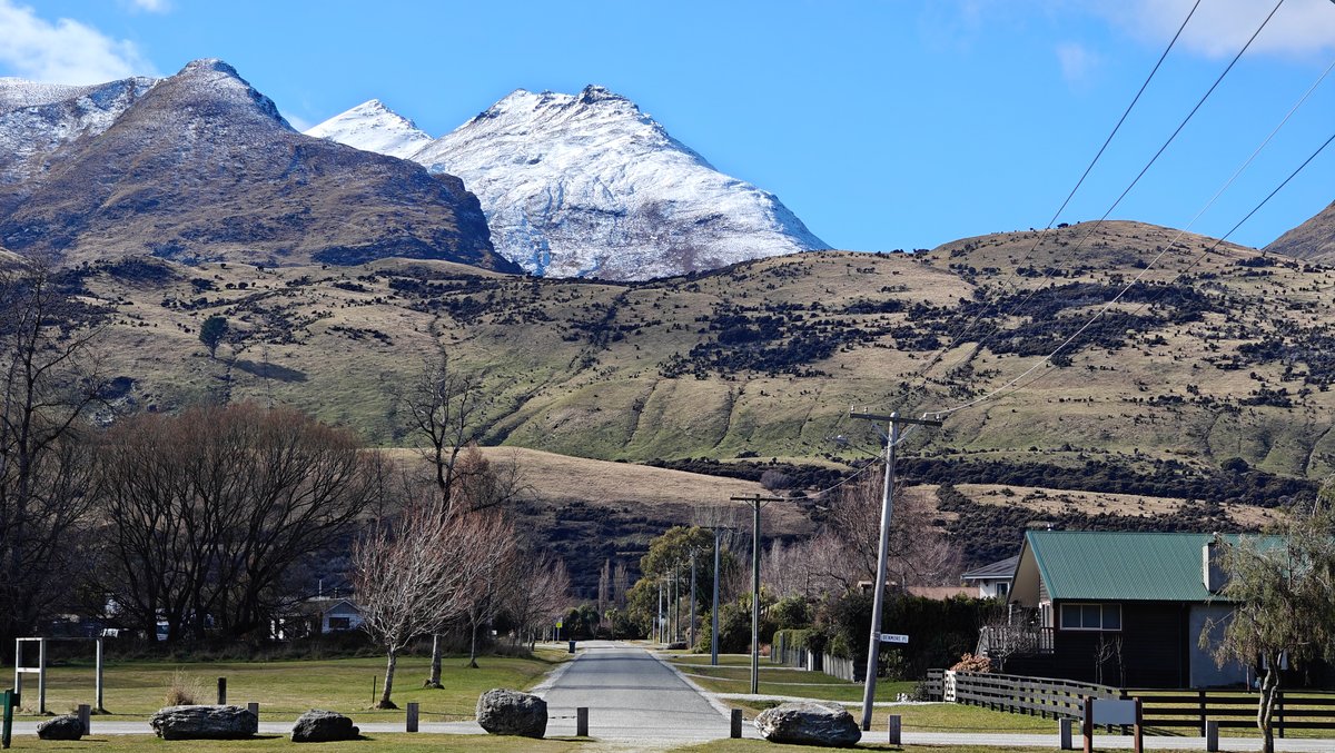
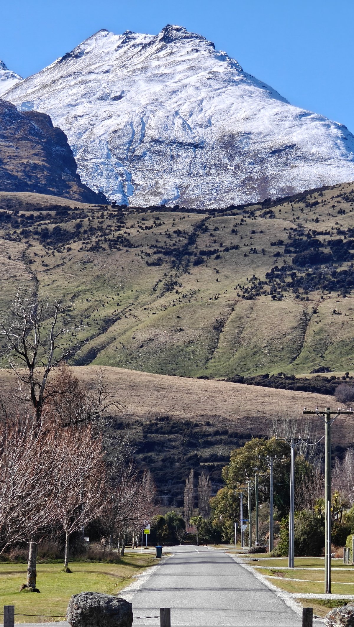
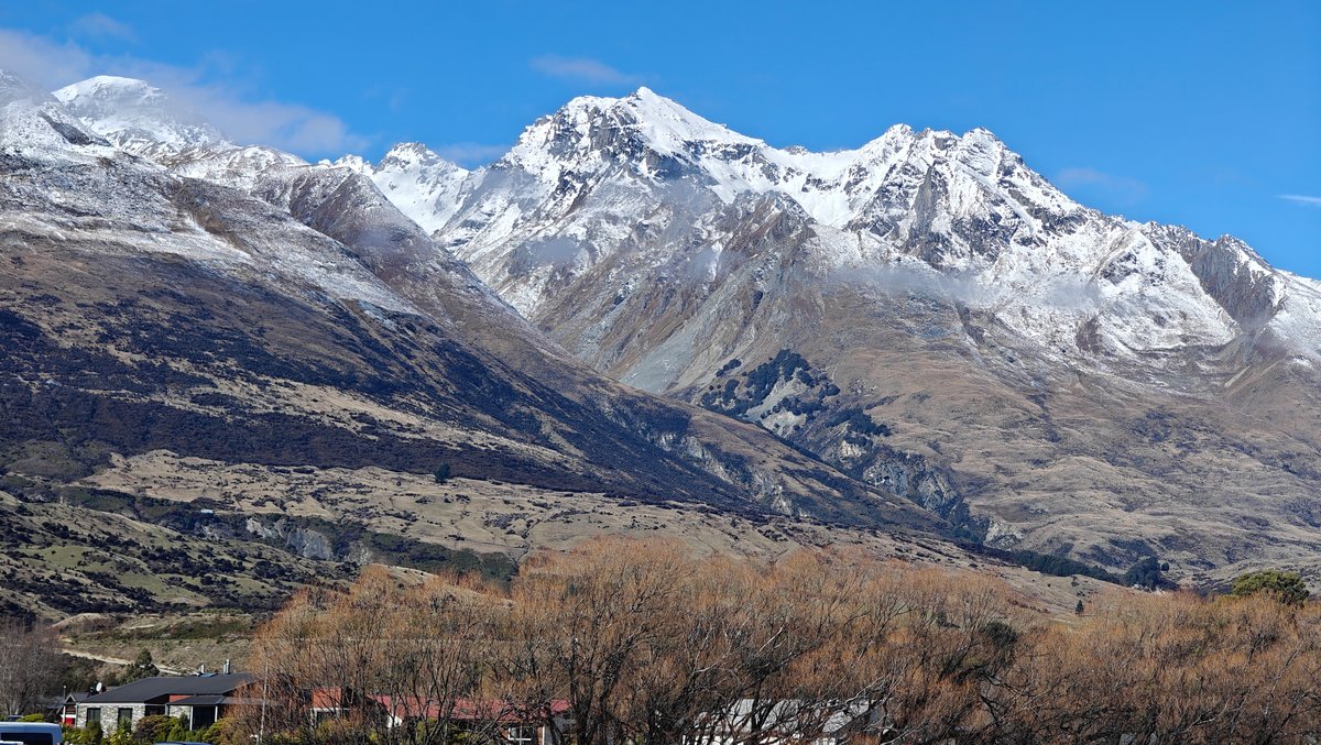
About 45 minutes from Queenstown (and passing some of New Zealand’s most scenic lakeside views) is Glenorchy, located at the far north end of Lake Wakatipu. It’s a tiny settlement with only a few houses and a general store/cafe, really just the old red wharf building as a marker point for the little town. We parked on the grassy reserve by the lake and headed over to walk out to the wharf, with snowy peaks filling the view across the water.
it felt even more remote in the winter months when it was the sort of place where you could sit around and do nothing for an hour without getting bored. Steep, dramatic mountains rise directly from the lake here. In the late afternoon, the light made them appear in shades of white and grey.
There isn’t a whole lot else to do in Glenorchy proper, but sometimes that’s exactly what you want.
Road Trip View
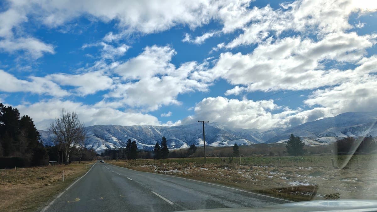
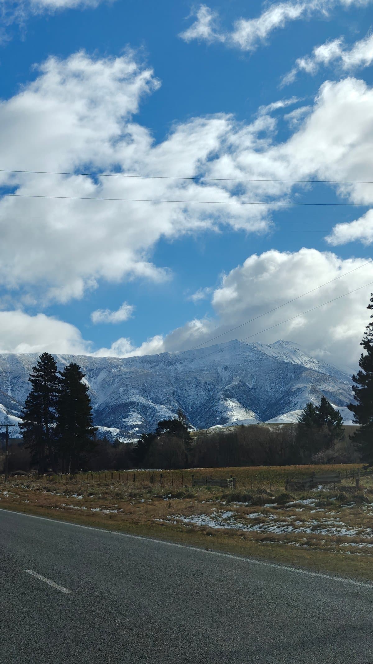
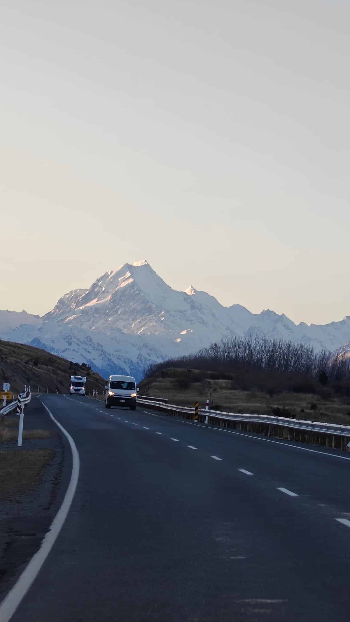
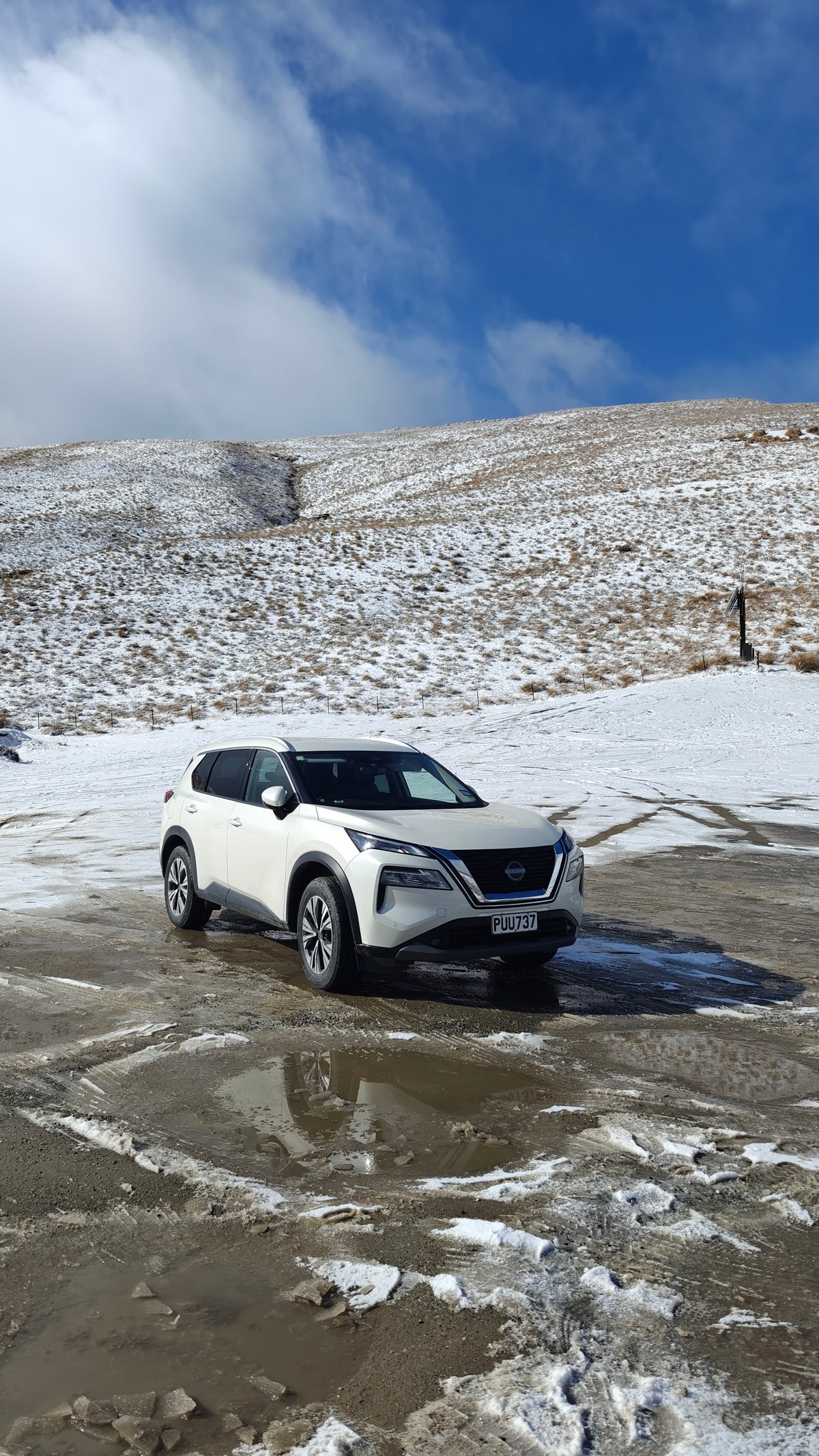
New Zealand has some of the world’s finest scenery, but as we found out while traveling there, not all the country’s best moments are at destinations. Alongside the road, there are parts of the highway that stretch forever. Empty tarmac rolls out across the sky and tussock until a snow-capped peak rises up behind yet another bend.
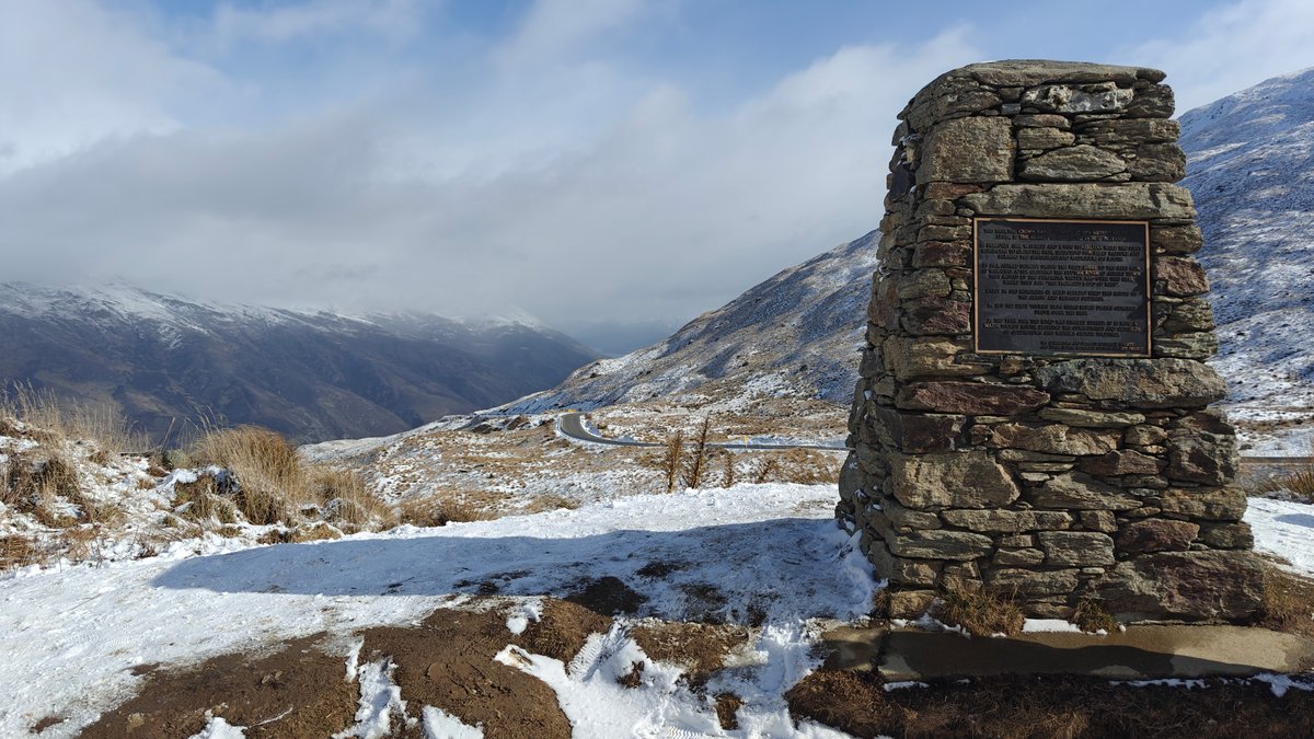
One such highway is the Crown Range road between Wanaka and Queenstown, which winds over a high pass crowned by a stone cairn marking the top, still dotted with drifts of snow. It’s especially good for stopping the car and taking in the view… Something we did far too many times to count.
Before heading out on the Crown Range, make sure to check the road conditions (it can shut if it gets bad); but when it’s clear, it’s one of the most scenic drives going.
Snow Farm Cardrona
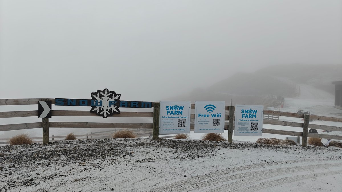
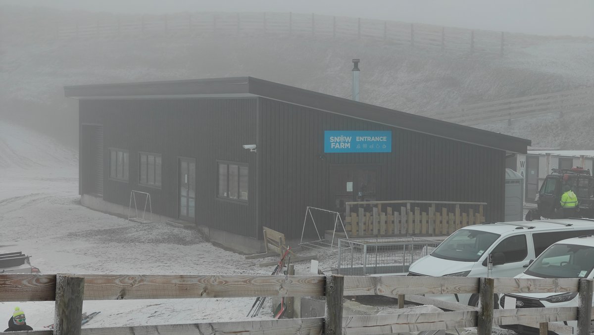
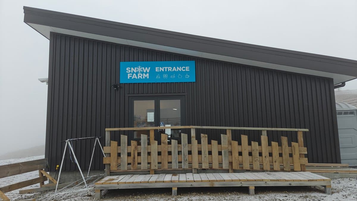
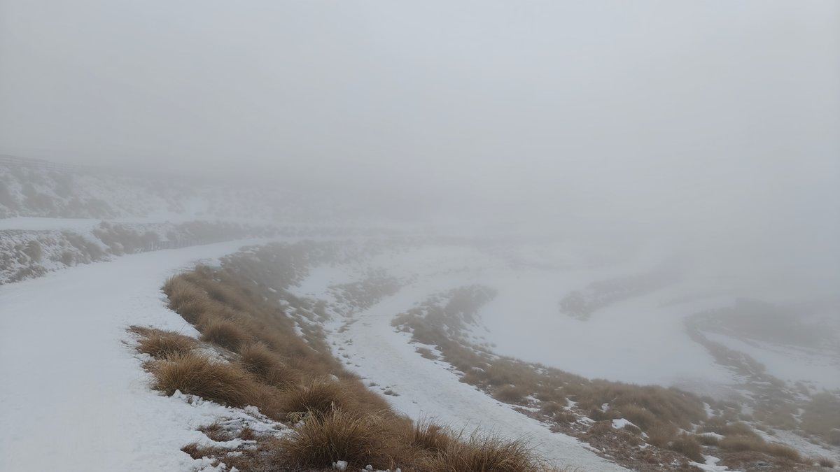
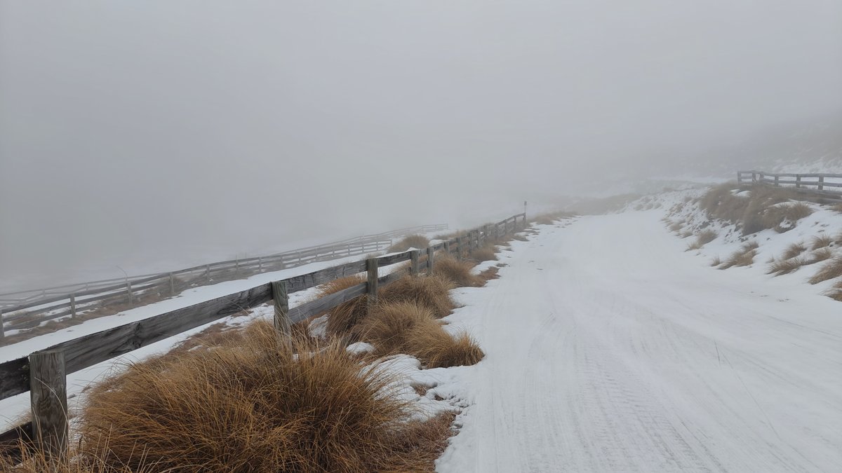
Snow Farm, in the Cardrona Valley, is a cross-country ski area that is also a working ski field in winter. There are groomed trails throughout their rolling alpine terrain. We went there one foggy day, so it was eerily quiet and had a spooky atmosphere.
The base building loomed out of the fog, and the tussocks under the snow dissolved into gray. Once the fog cleared slightly, however, we saw how they have poles and fences marking the groomed tracks winding across the landscape. They rent equipment from the base building so you can try it out if you like; I didn’t.
It was still worth the drive up here even though we weren’t skiing, because in clear weather, the scenery is lovely: high open country, snow on the ground, peaks everywhere. In winter, this would be a great stop if you’re wanting to experience real snow without having to commit to going to a full ski resort.
That Wanaka Tree

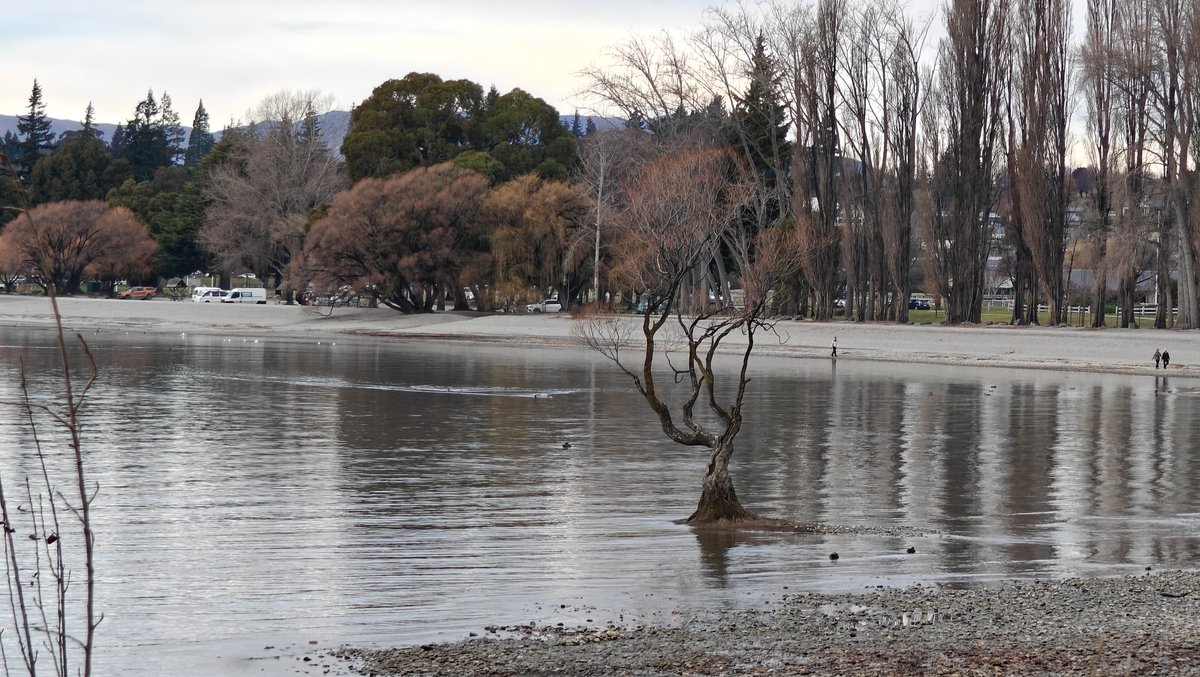
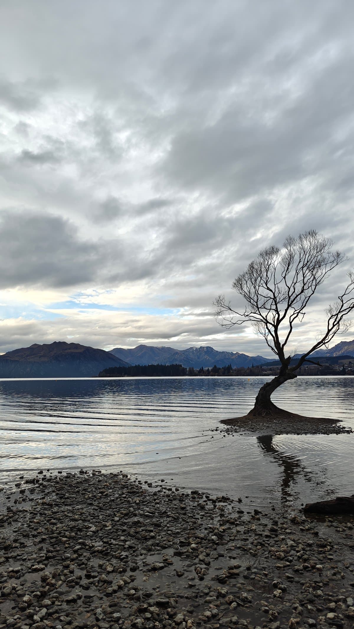

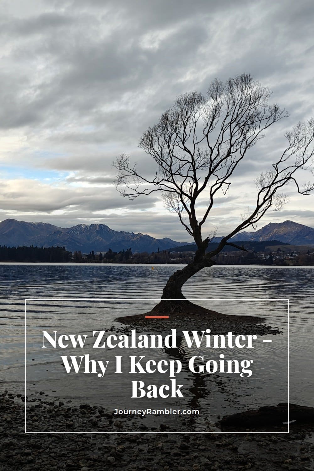
The Wanaka Tree is just as advertised: a single willow growing in the shallows of Lake Wanaka, its branches stretched across the water, its roots submerged beneath the surface.
It’s something of an icon now, so don’t expect to have the place to yourself, even during the off-season, we saw a few others along the shore with cameras in hand. Still, it’s pretty photogenic.
On a calm day, the water surrounding the tree is smooth as glass. The tree itself stands calmly in the lake. The mountains behind it form a backdrop that shifts with the changing light.
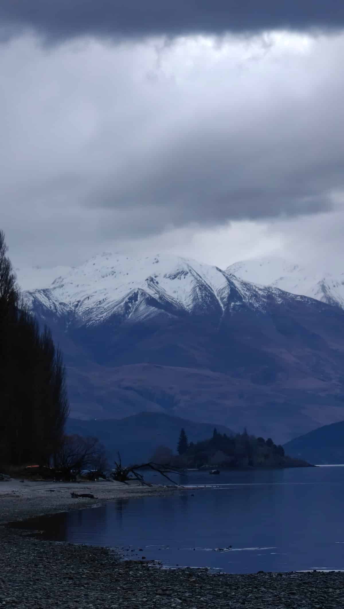
We visited during blue hour in the winter, and the peaks were covered in snow while the sky transitioned from blue to purple. Don’t expect to spend too much time there. You might spend perhaps ten minutes to check it out, snap some photos, and head on your way.
However, the trip from Wanaka town is easy enough and it accomplishes its goal. Sometimes the popular sights are popular for a reason. New Zealand is not for everyone when it comes to winter.
It gets cold (so bring more clothes than you think), some roads shut down, and the days are shorter. However, it is incredibly hard to beat because of the quiet empty landscapes, the best light on the mountains, and that clear cold air that makes all photos come out better than remembered. I am already planning my return trip.
Are you more of a summer traveler, or have you been to New Zealand in the winter? Tell me what you thought in the comments below.