
I Went Looking for snow in New Zealand and Found Snowy Peaks Filling the Horizon All Over the South Island Visiting the South Island of New Zealand during winter was exactly why I went: for some snow! It didn’t disappoint. There were snowy mountains as far as my eye could see wherever I traveled.
The entire place felt so wide open and crisp that I hadn’t seen anywhere like it before. This won’t be a comprehensive guide to the South Island, only those spots where I really hung out, from glaciers to alpine lakes and even a helicopter trip I’m still dreaming about months later. I spent most of my time in the Mount Cook and Mackenzie Basin area, with a couple detours to Milford Sound, Wanaka and Queenstown.
It’s quite a drive, and some of the highlights for me came from simply pulling onto random sections of highway when the light struck the mountains right. I can confirm that the snow is totally worth it if you’re considering a winter trip.
Places I Saw Snow in New Zealand
Road Trip View

Mount Cook Hotel Recommendations Based on My Own Stay
🔹 Hermitage Hotel Mt Cook
🔹 Mt Cook Lodge and Motels
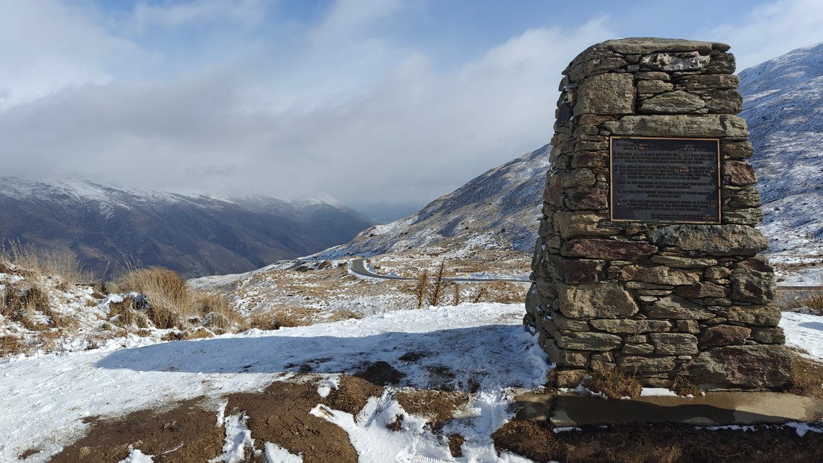
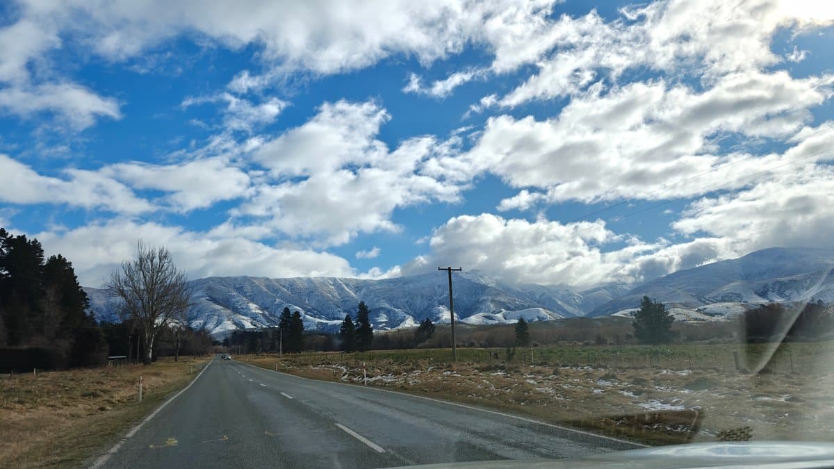
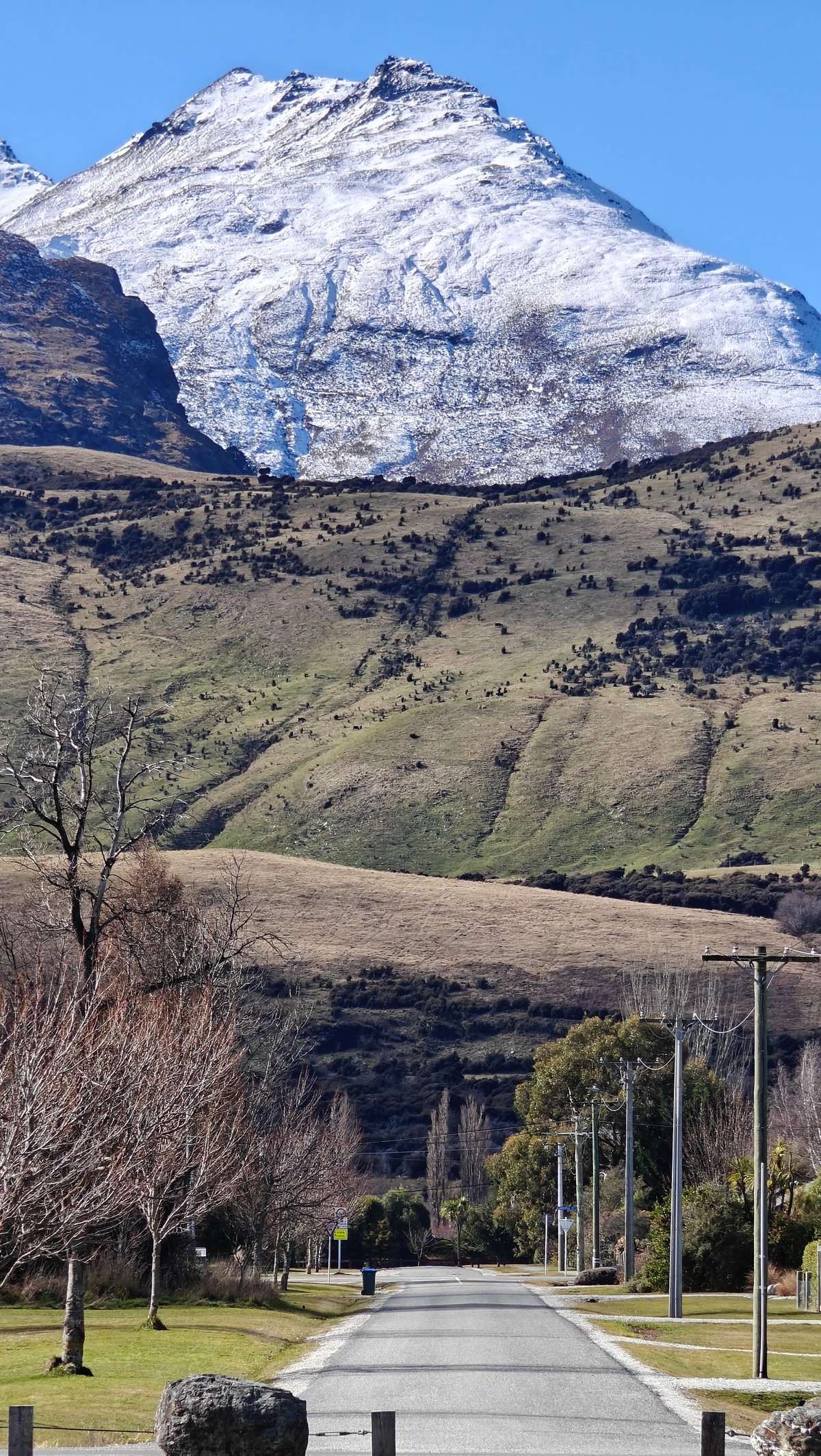
Each day while driving around the South Island in winter, I pulled over simply because I had to see what was there. The highways cut directly into mountain ranges here and it is difficult to keep your eyes on the road if they’re capped in snow. More times than I can count, I pulled onto the shoulder so I could simply stand there staring.
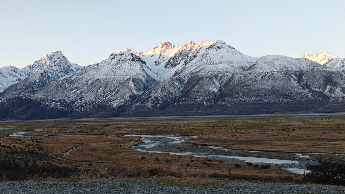
Braided rivers sliced across wide valleys backed by rows of snowcapped mountains, and the late-day light made the snow turn a soft shade of orange that only lasted about ten minutes before fading away. The Crown Range road links Wanaka and Queenstown and rises so high it’s as if you’re nearly at snow level (someone had even built a cairn at one of the viewpoints where I stopped to soak it all up). There is no carpark, no entry fee, and it is just you and whatever weather the mountains choose to throw your way that day.
Castle Hill
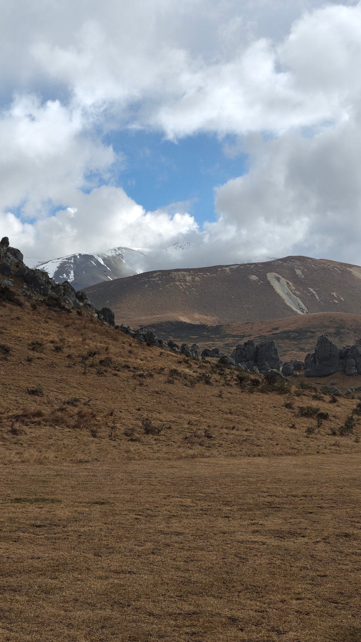
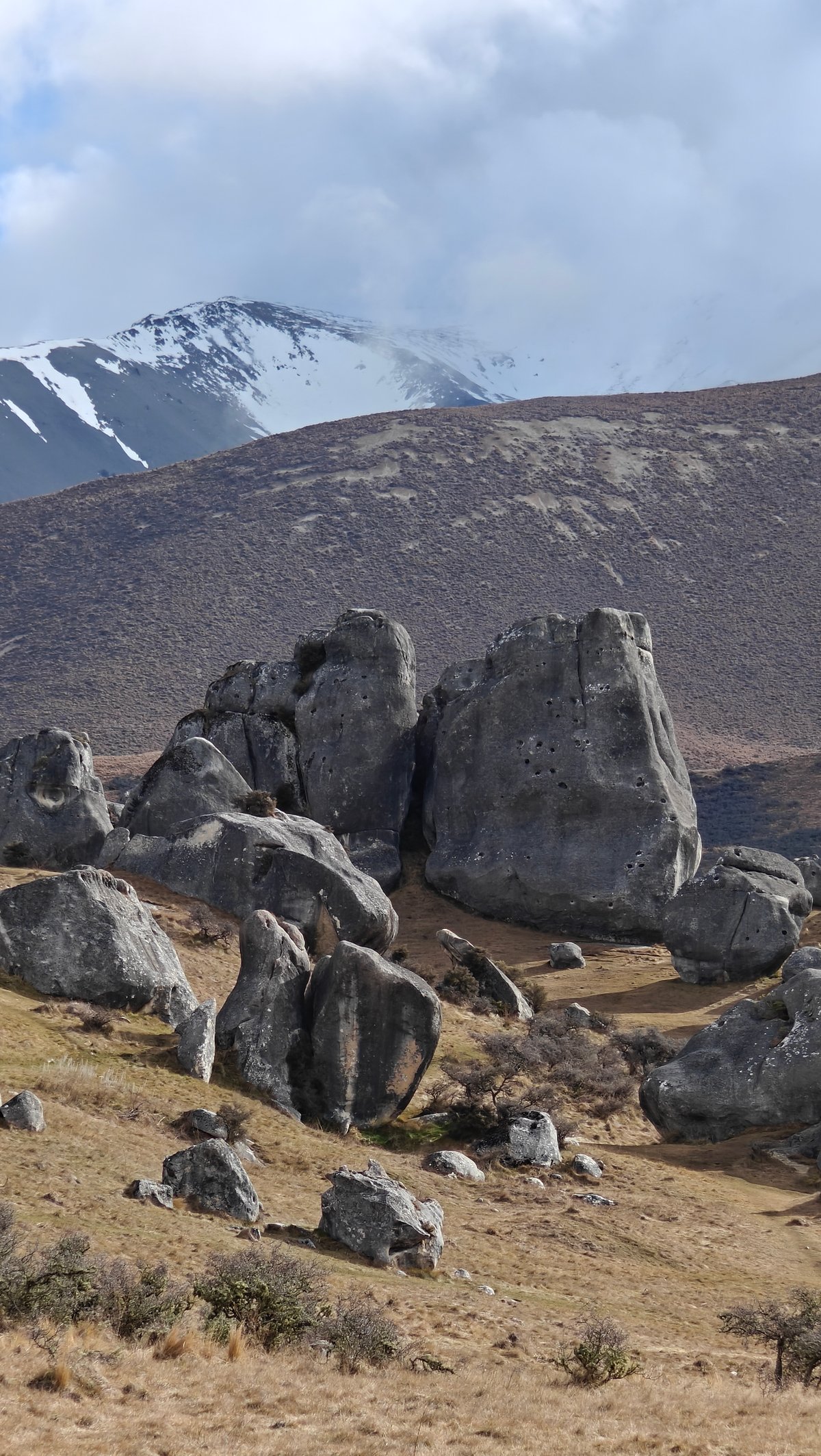
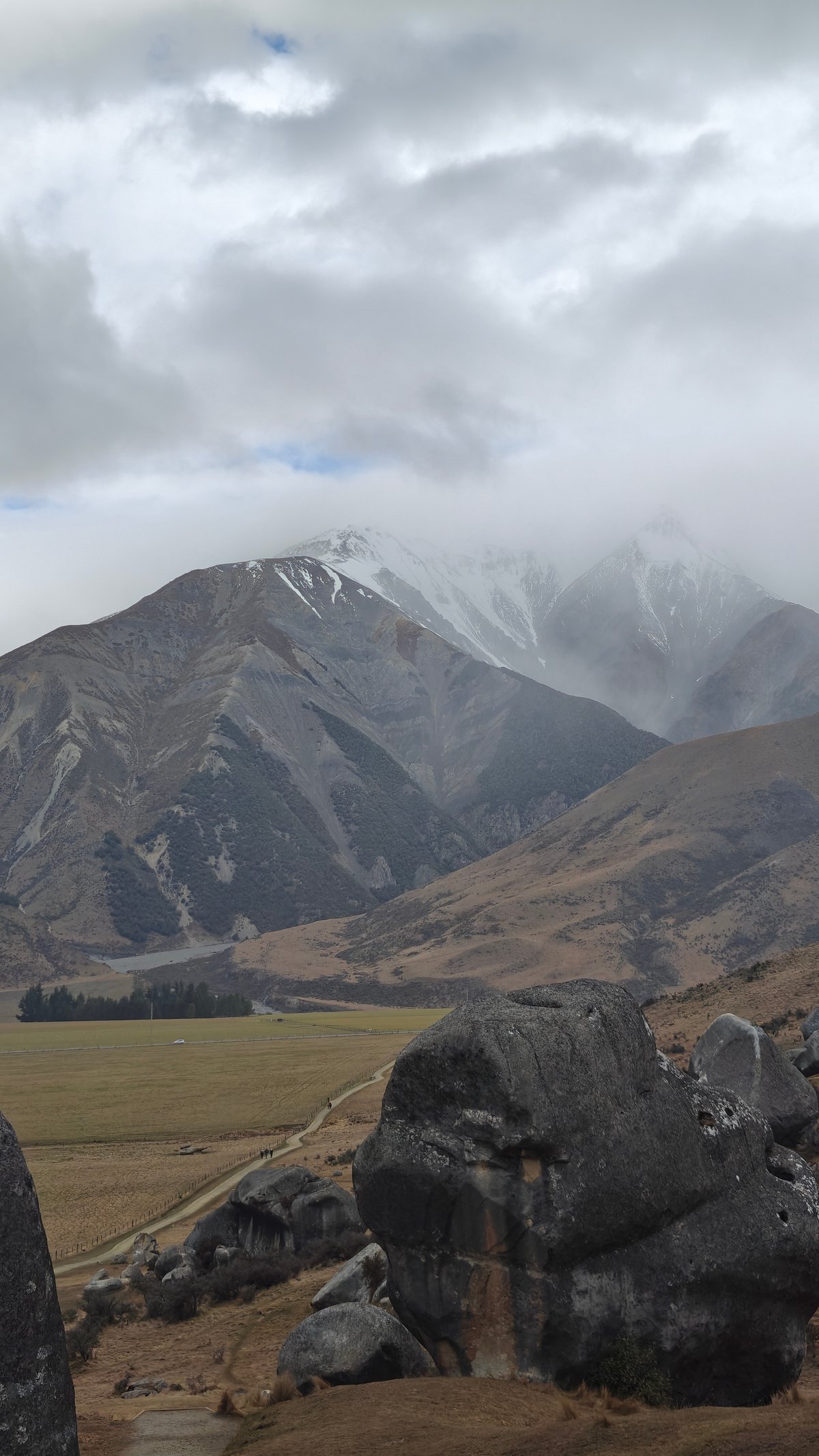
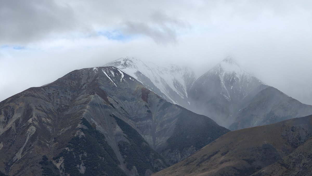
An hour outside of Christchurch lies Castle Hill, which is one of those places that makes no sense to exist. There’s nothing but snowy peaks in the distance, and massive piles of limestone boulders strewn across the tussock grassland below. Depending on your energy levels, you can scramble around them or stick to the flatter parts and just take a stroll.
I arrived mid-morning when the sky was being its moody self, clouds constantly drifting through the mountains, concealing and then revealing the snow. The boulders are enormous; some as tall as a house, and the area is popular with rock climbers. Me?
I’m no climber, so I simply wandered amongst the formations, trying to wrap my head around their scale. It’s totally free to enter and there’s a gravel car park directly off State Highway 73. Be sure to wear warm clothes, as there’s little stopping the wind out here.
Elephant Rocks
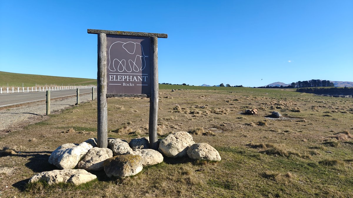
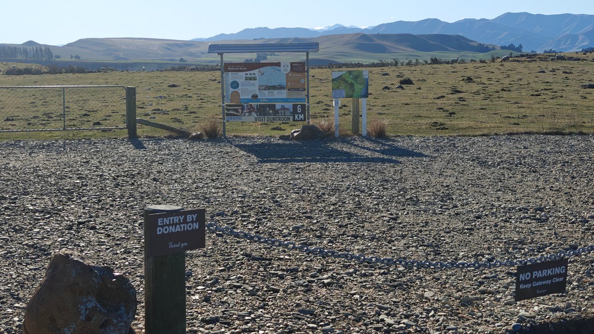
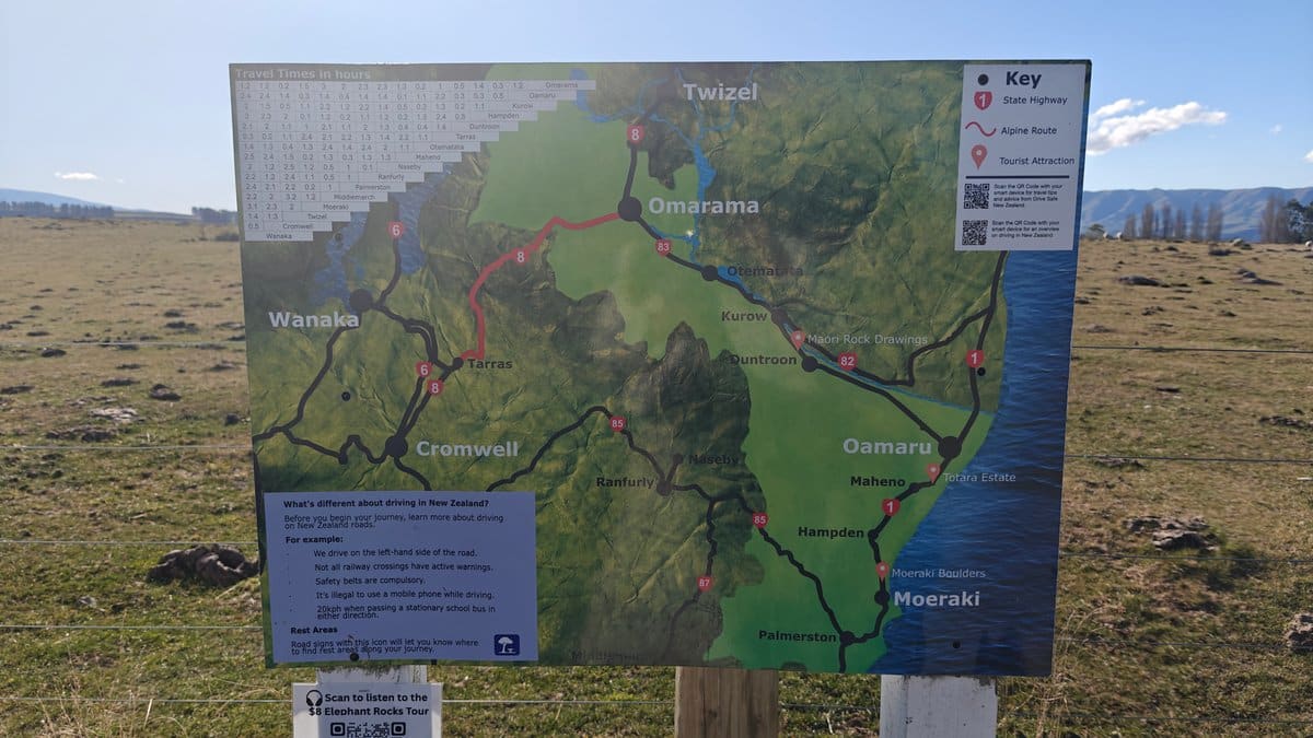
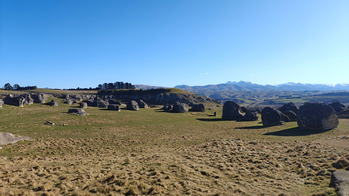
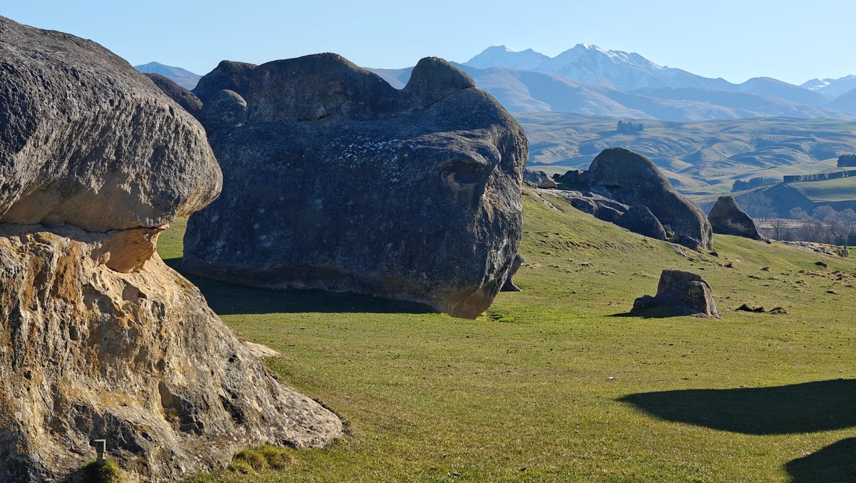
Another area of limestone boulders is Elephant Rocks, located near the town of Duntroon in the Waitaki district. Pretty low-key entrance (just a gravel carpark with a wooden sign), but crazy cool rocks. They’ve been eroded into round-ish shapes that, yes, sorta kinda resemble elephants if you squint.
And you can get right up close to them, and there’s places to walk through the spaces between the boulders. On the horizon were snow-capped ranges, which made everything feel more dramatic than I’d expected. You’ll find an interpretive panel here, with a regional map, if you care about that sort of thing, but otherwise I just wandered around for a half-hour or so taking pictures.
There is no charge because it is another DOC site. I went mid-week and didn’t see anyone else there. If you’re driving between Twizel and Oamaru, it is worth a detour.
Astro Cafe (Mount John)
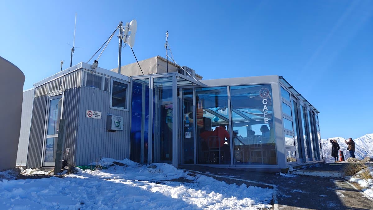

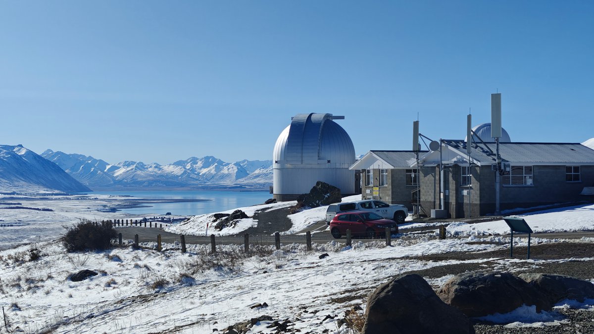
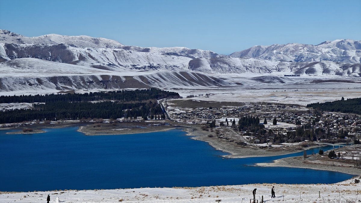
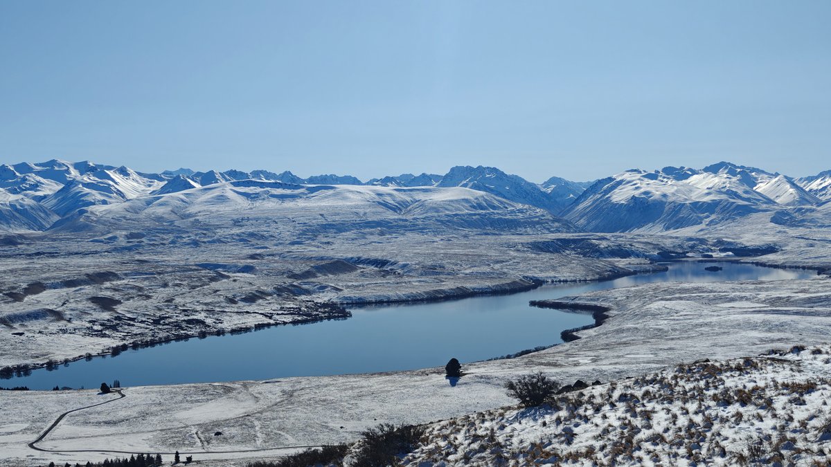
Mount John above Lake Tekapo has Astro Cafe, and right next to it is an observatory (run by the University of Canterbury). Located basically next door from the observatory, it’s a low glass structure overlooking the lake. You drive up a twisty gravel road to reach it, and then the cafe itself has panoramic views across the lake toward the Southern Alps.
I visited mid-afternoon for coffee and stayed longer than intended, the view is ridiculous: snow-covered mountains stacking up as far as the eye can see, and Lake Tekapo laid out before me in its odd milky turquoise. There’s also light food and pastries here, and it’s the sort of place where everyone is sitting quietly and staring out the window. To visit the observatory domes themselves, you’ll have to take one of their stargazing tours, which you can book in advance.
Access to the road costs a couple of dollars per car, which contributes to maintenance of the Dark Sky Reserve. ), but it’s worth it for the setting.
Church of the Good Shepherd
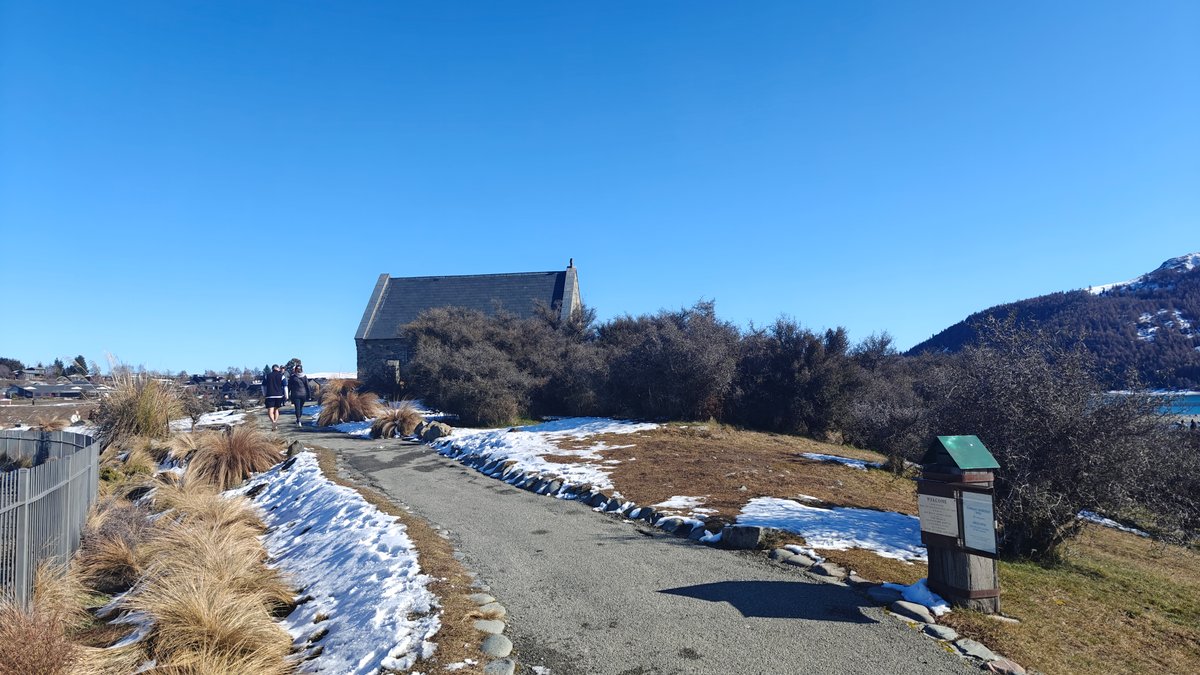
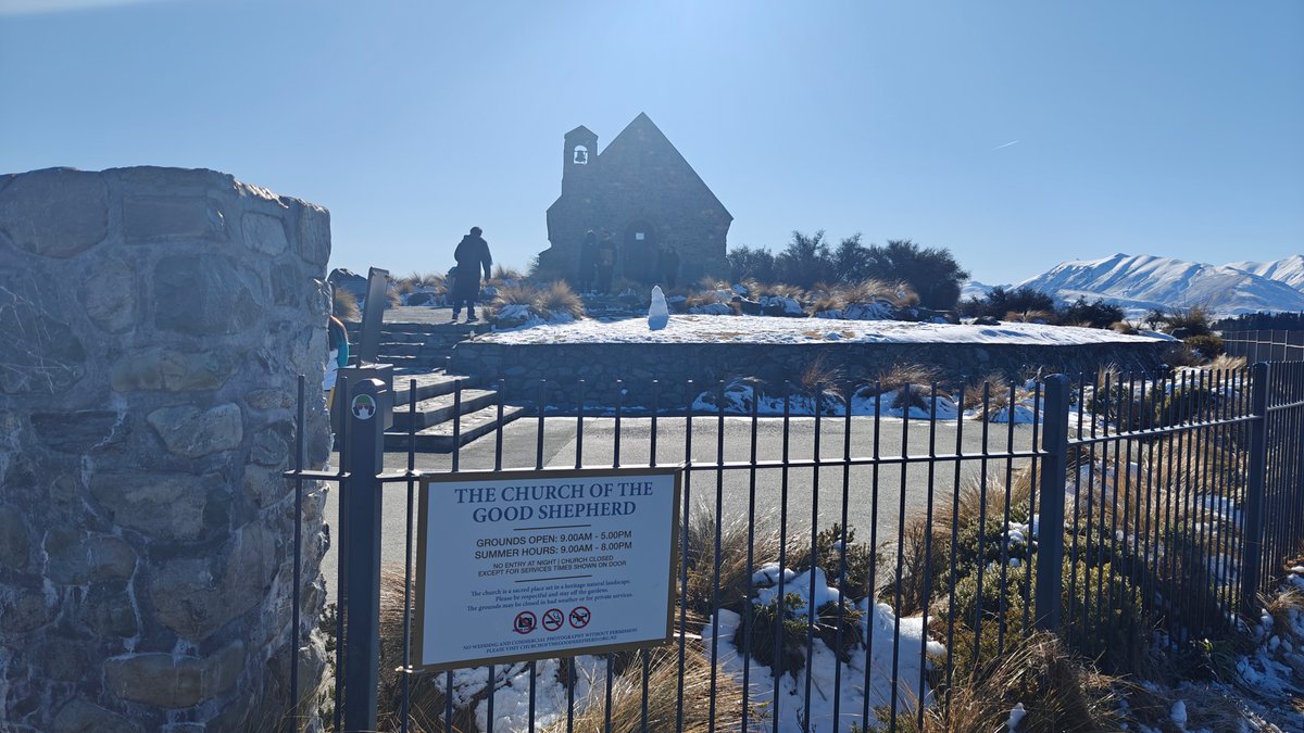
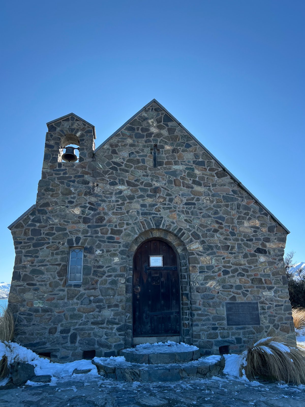
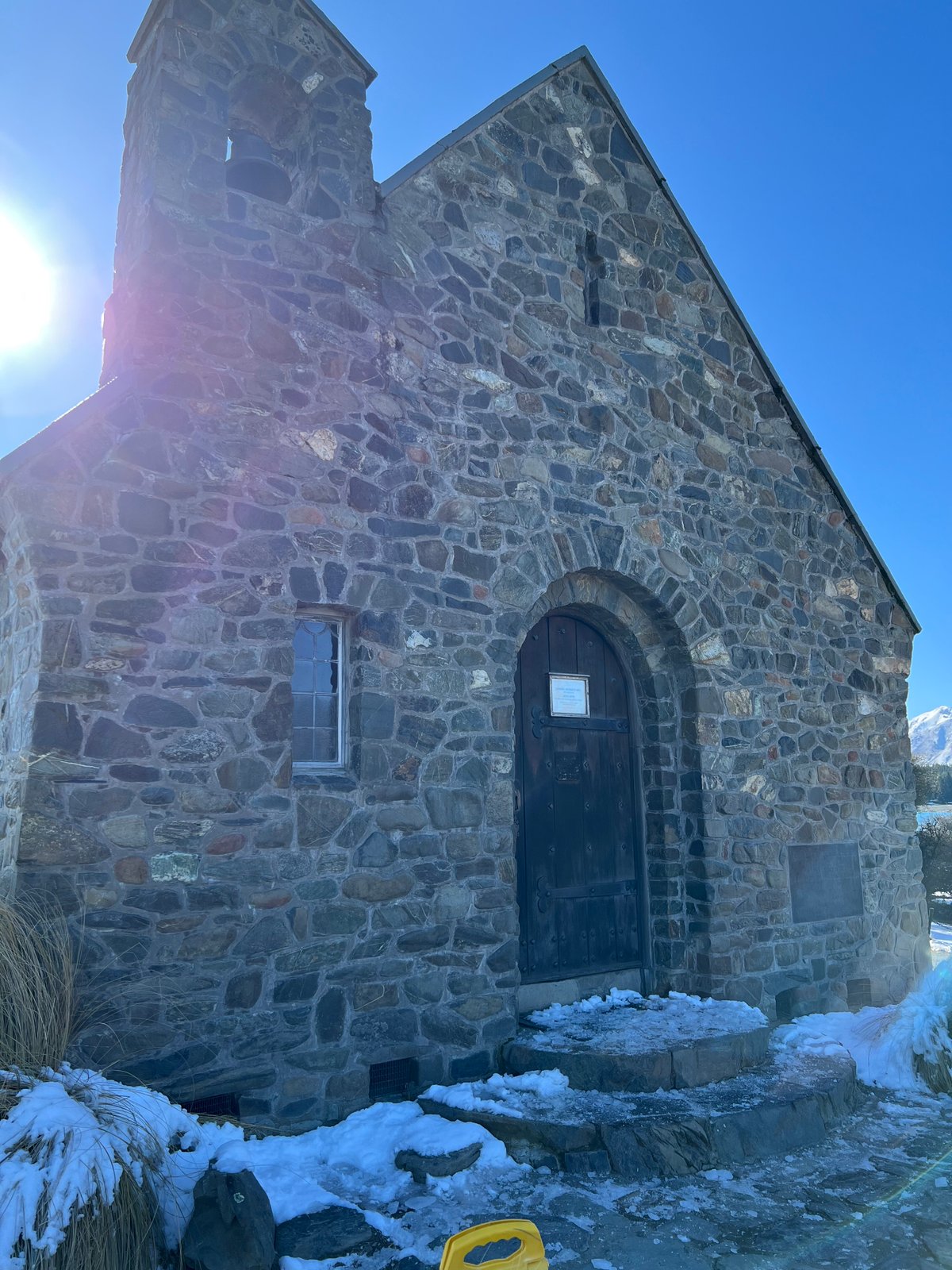
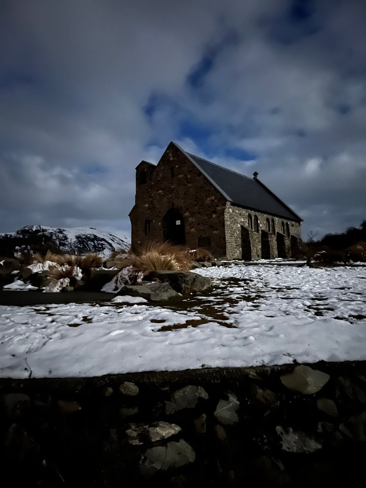
Located just off the shore of Lake Tekapo, this little stone church is probably the most photographed building in the area. It was built in the 1930s as a memorial to the pioneer farmers who settled the Mackenzie Country. Its simple arching door and stone walls give it a solid, humble presence that fits in with its surroundings.
In the early morning, when the light is soft, I strolled up here from the main road and found a few others waiting at the gate to snap pictures. The church is still used as a functioning church and you can enter it (just no indoor photography out of respect). It’s the window behind the altar that catches the eye (and is the main reason to come here).
That looks out onto the mountains and lake, but unfortunatly I wasn’t able to get a photo. From outside, there’s a classic Tekapo shot, with the mountains behind and the low stone wall. Get here early or later in the day if you want it quiet.
Lake Tekapo Surrounding

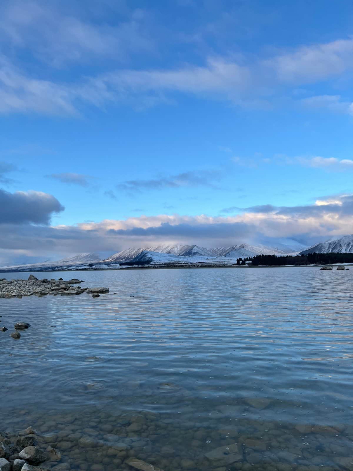
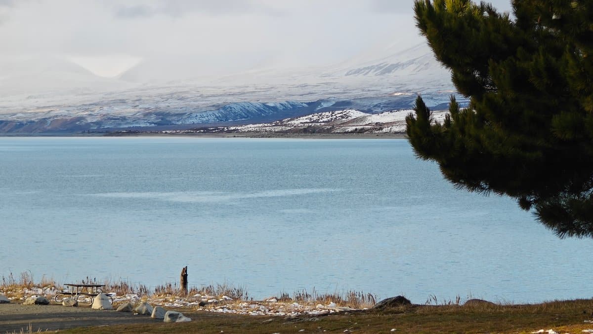
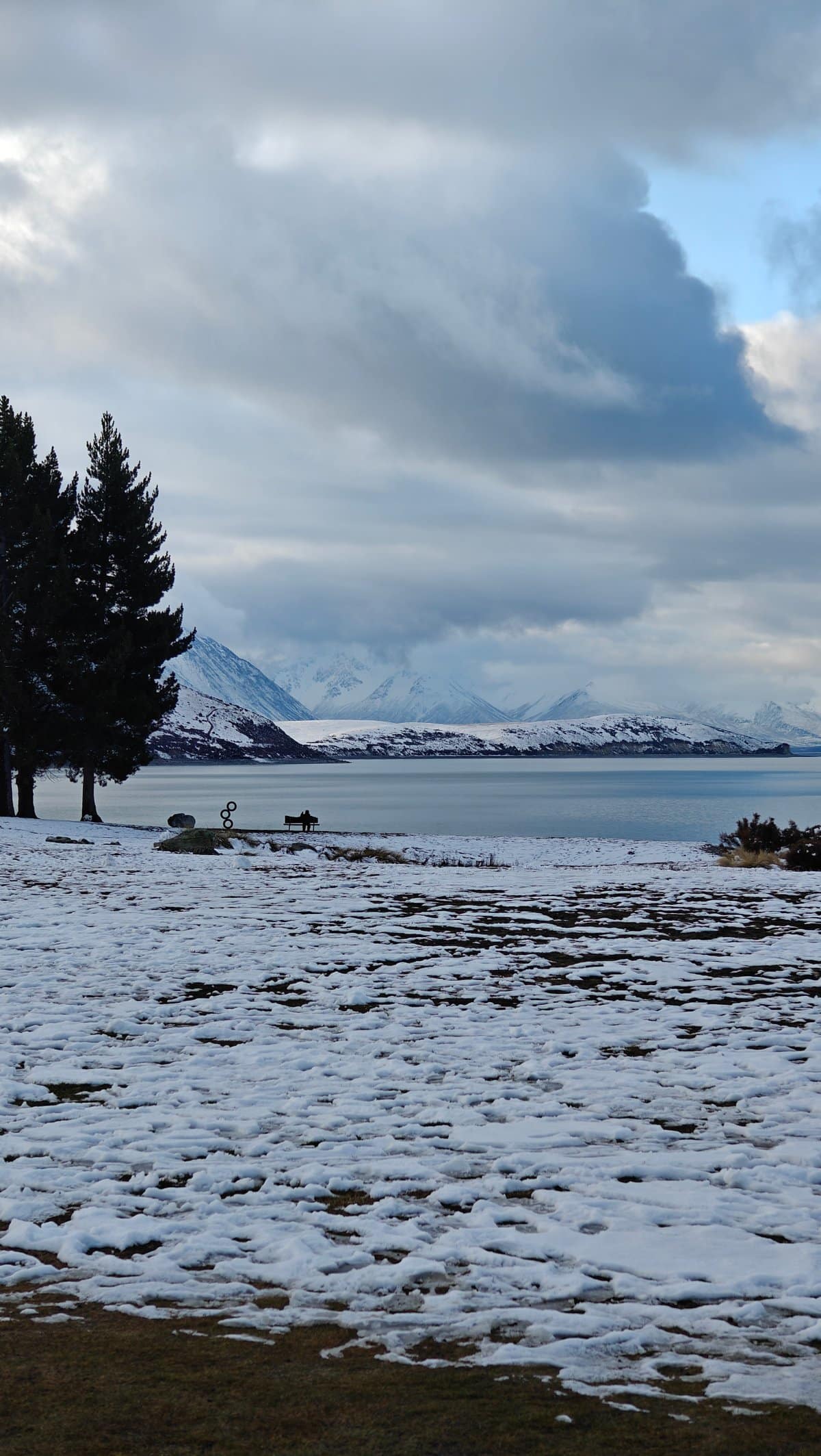
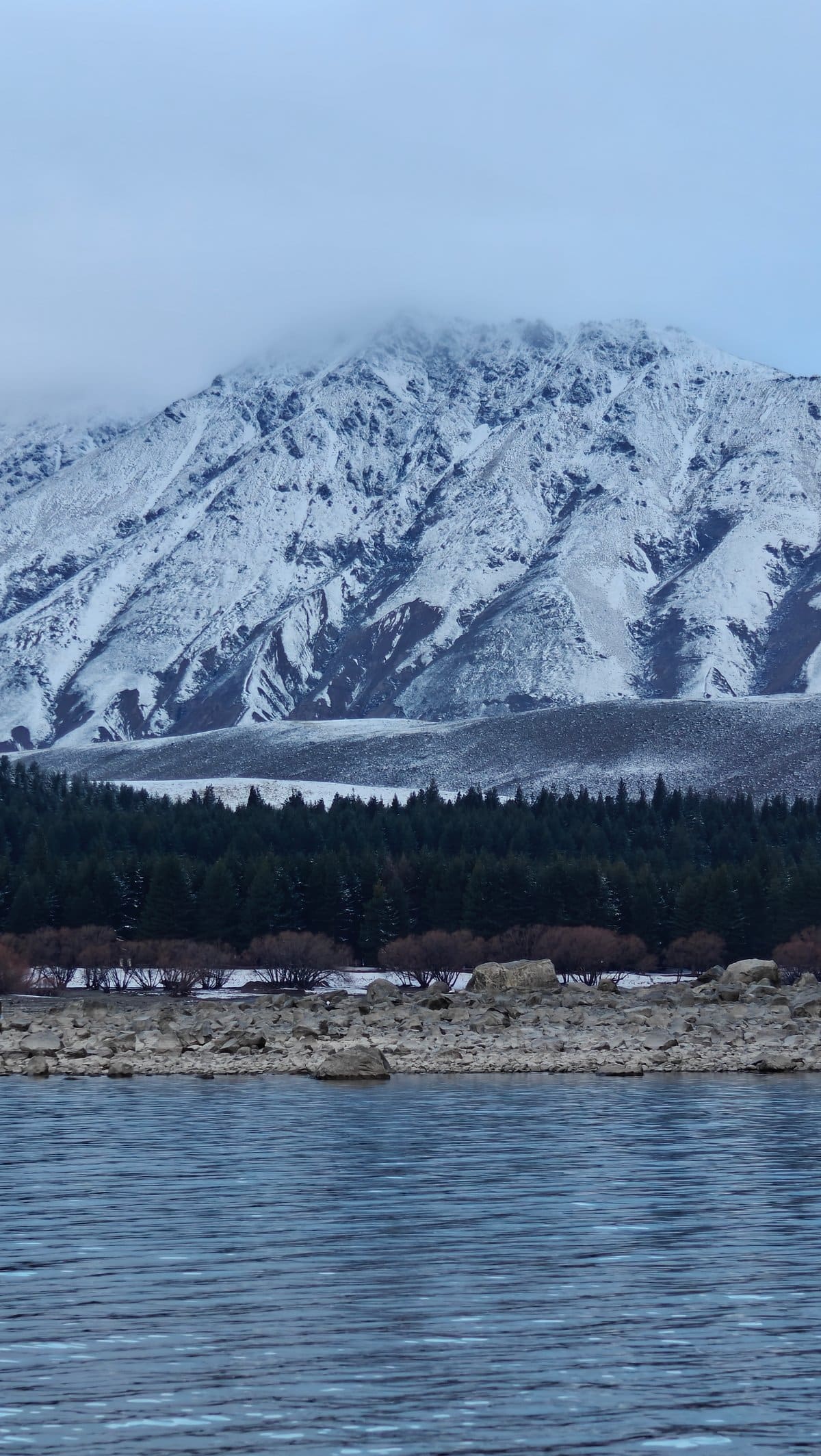
Everyone mentions Lake Tekapo’s colour first (and with good reason, it’s really unreal in person). The water is an opaque turquoise colour due to glacial flour (fine rock particles suspended in the meltwater). It changes between almost glowing and milky depending on the light.
I spent a couple of times wandering down to the shoreline near the town, where each new angle presented a fresh mix of snowy mountains across the water, clear shallows, and rocks. You can see right through some of the shallows to the stony lake bed, while other stretches have such solid turquoise it might as well be painted. With winter seeing the peaks all proper and snowy, there’s an extra layer to the entire scene.
There are walking tracks around the lake if you want to escape the main village area, but truthfully just parking somewhere along the shore and taking ten minutes to stare at the water is well-spent time.
Mt Cook Alpine Salmon
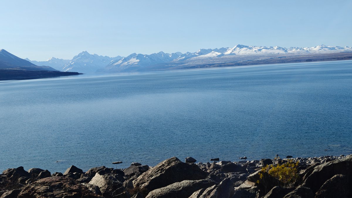
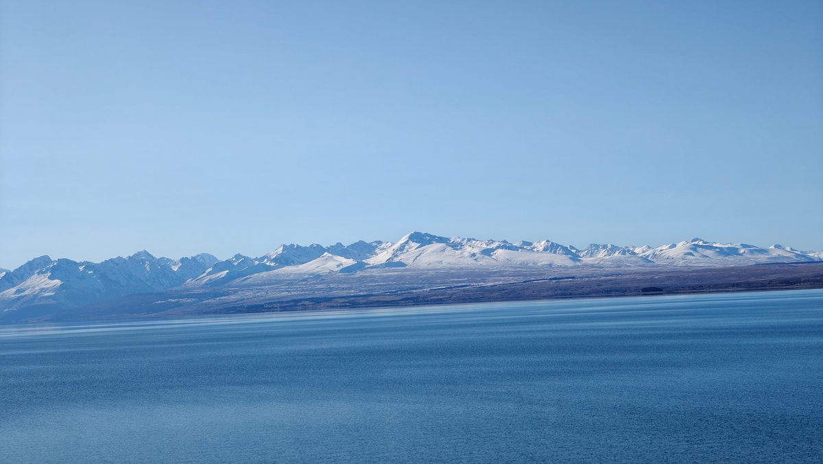
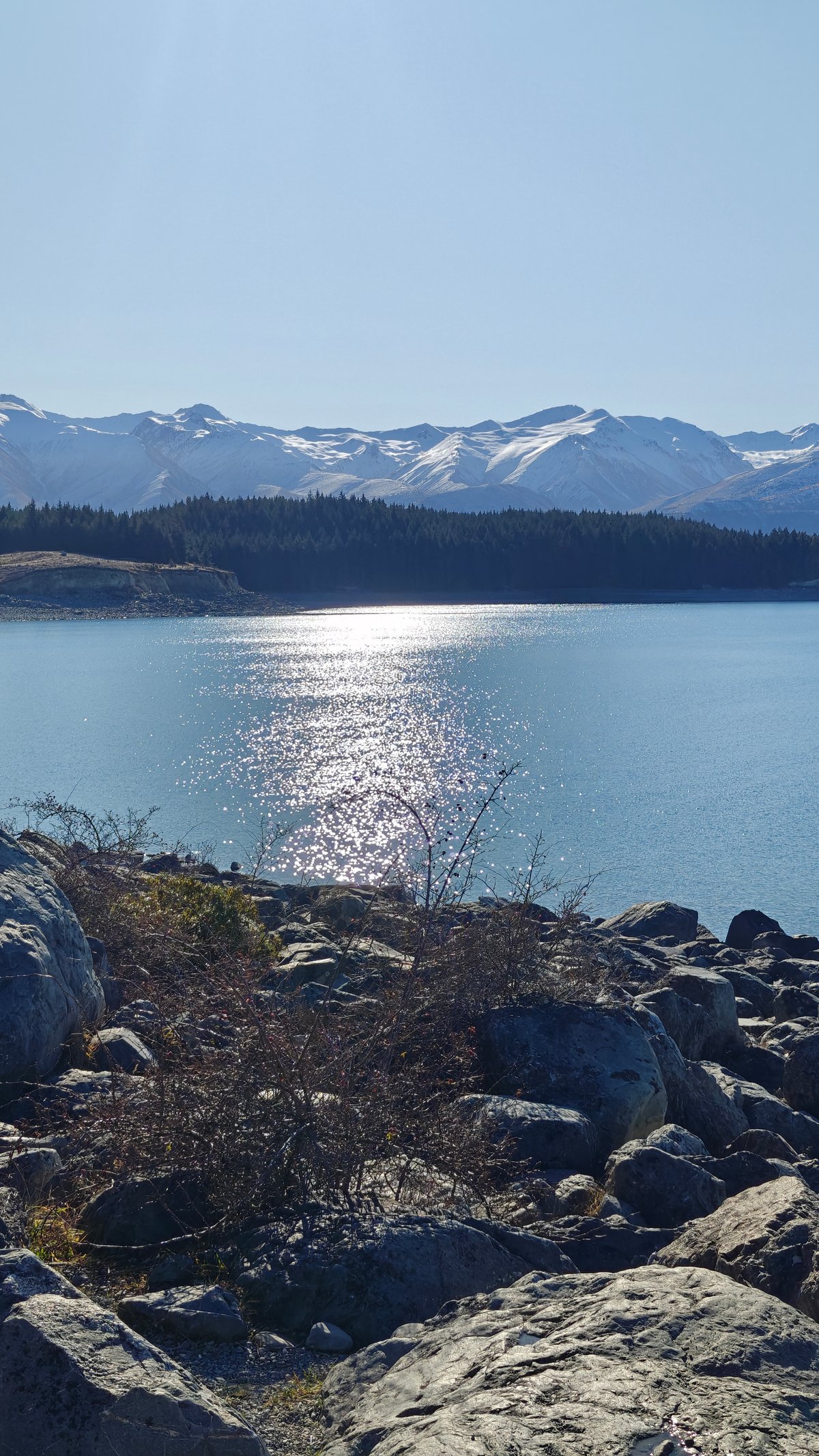
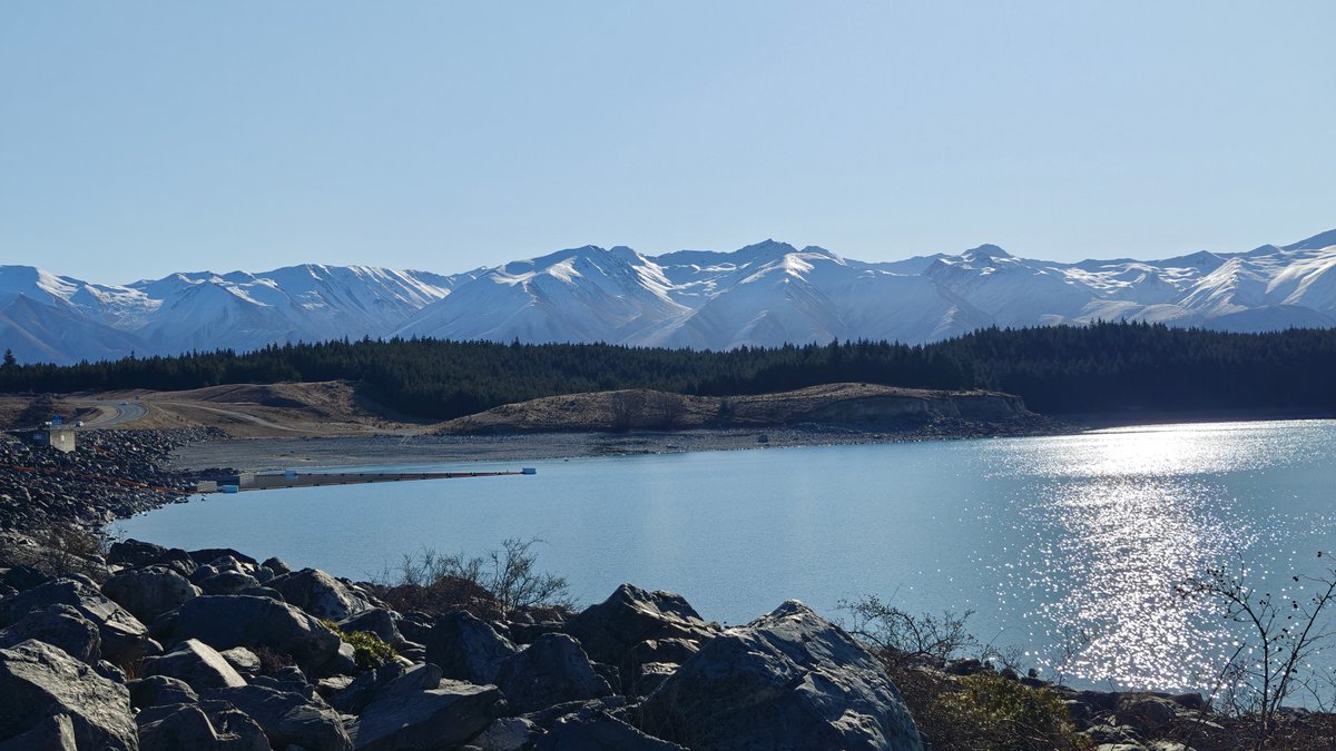
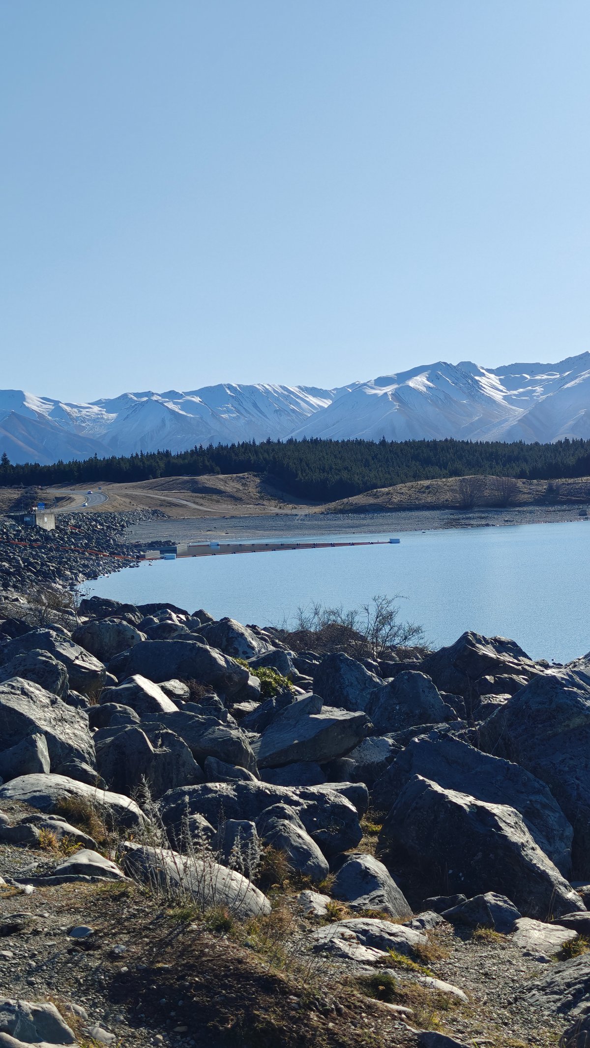
Just off the highway to Mount Cook village is Mt Cook Alpine Salmon, a viewing area and shop right on the edge of Lake Pukaki. They farm salmon in the glacial-fed canals nearby. You can get fresh salmon to eat at the outdoor picnic tables or take it away.
I stopped for lunch, getting a small container of sashimi that was very fresh and clean-tasting. But really, you’re stopping for the view, Lake Pukaki’s got the same glacial turquoise color as Tekapo but on a larger scale, and on a clear day you can see Aoraki Mount Cook rising at the far end of the lake. I sat at a table looking out over the water as the whole of the Southern Alps stretched out before us, and I thought to myself: this is just slightly absurd, yet totally right, to be having some salmon sashimi beside a lake in the middle of nowhere.
It’s very popular so can get busy, although there’s lots of space outdoors and you never tire of the view.
Mount Cook Surrounding
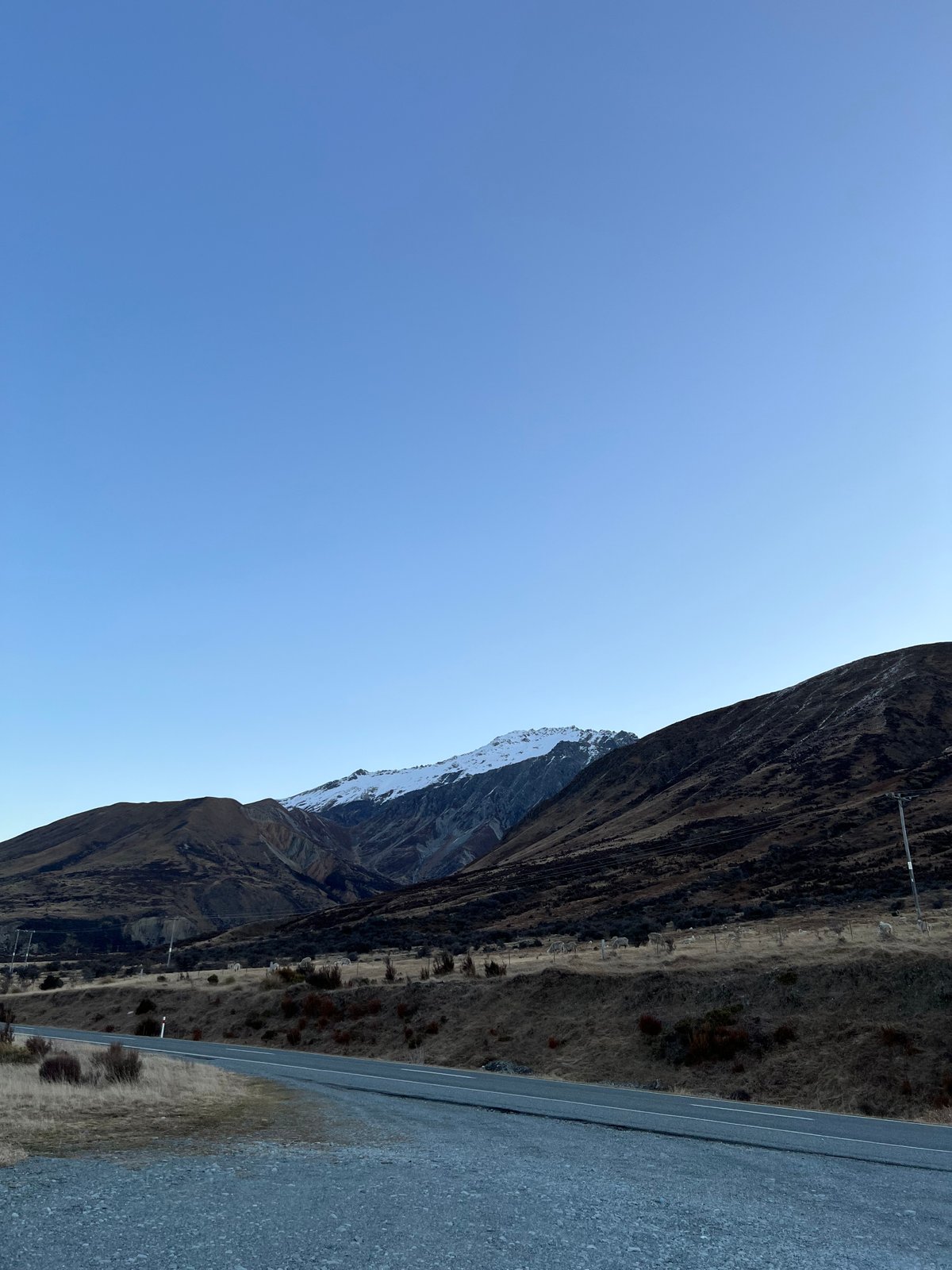
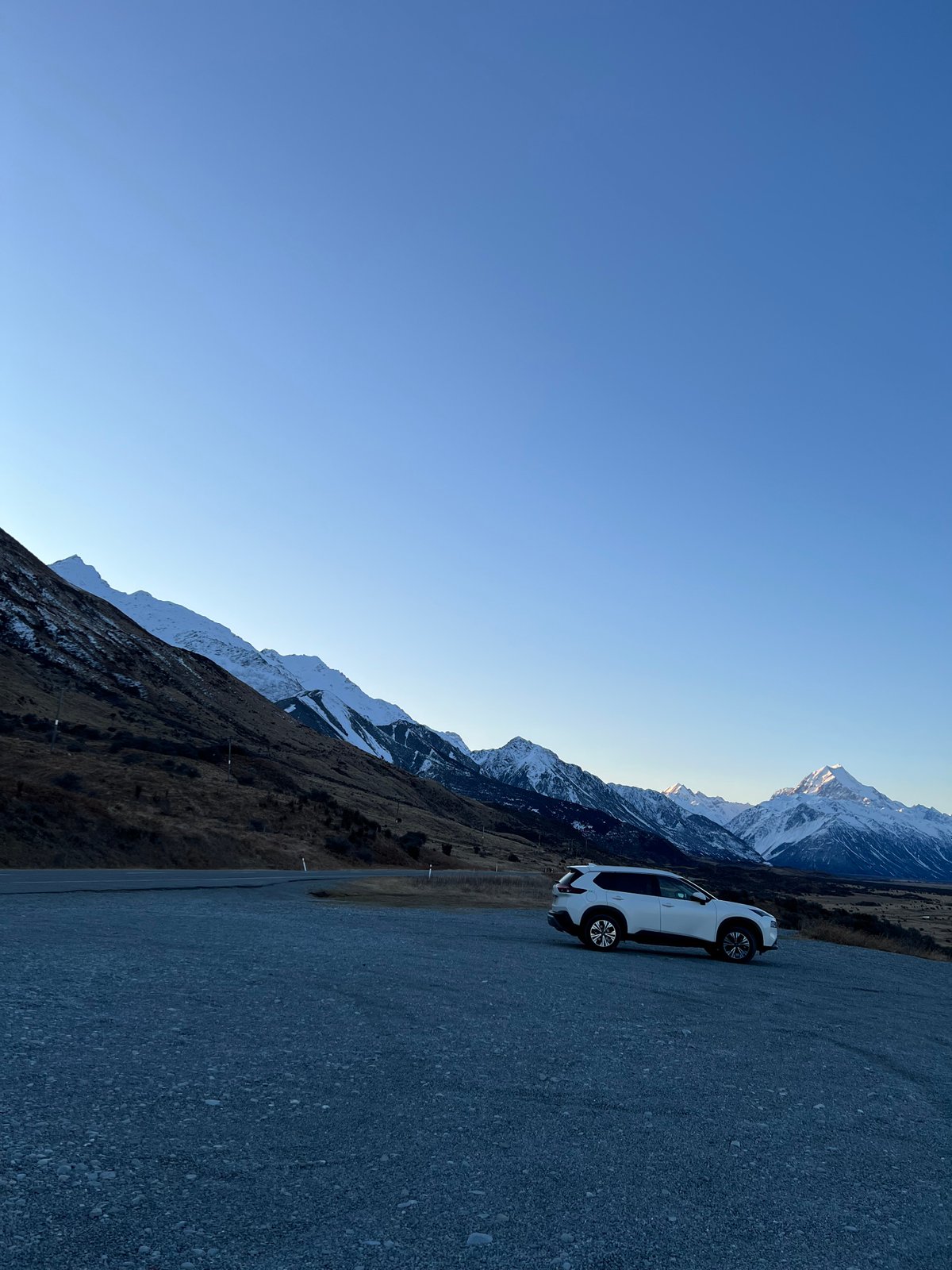
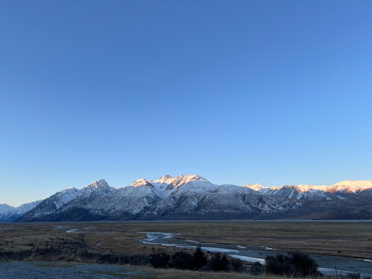
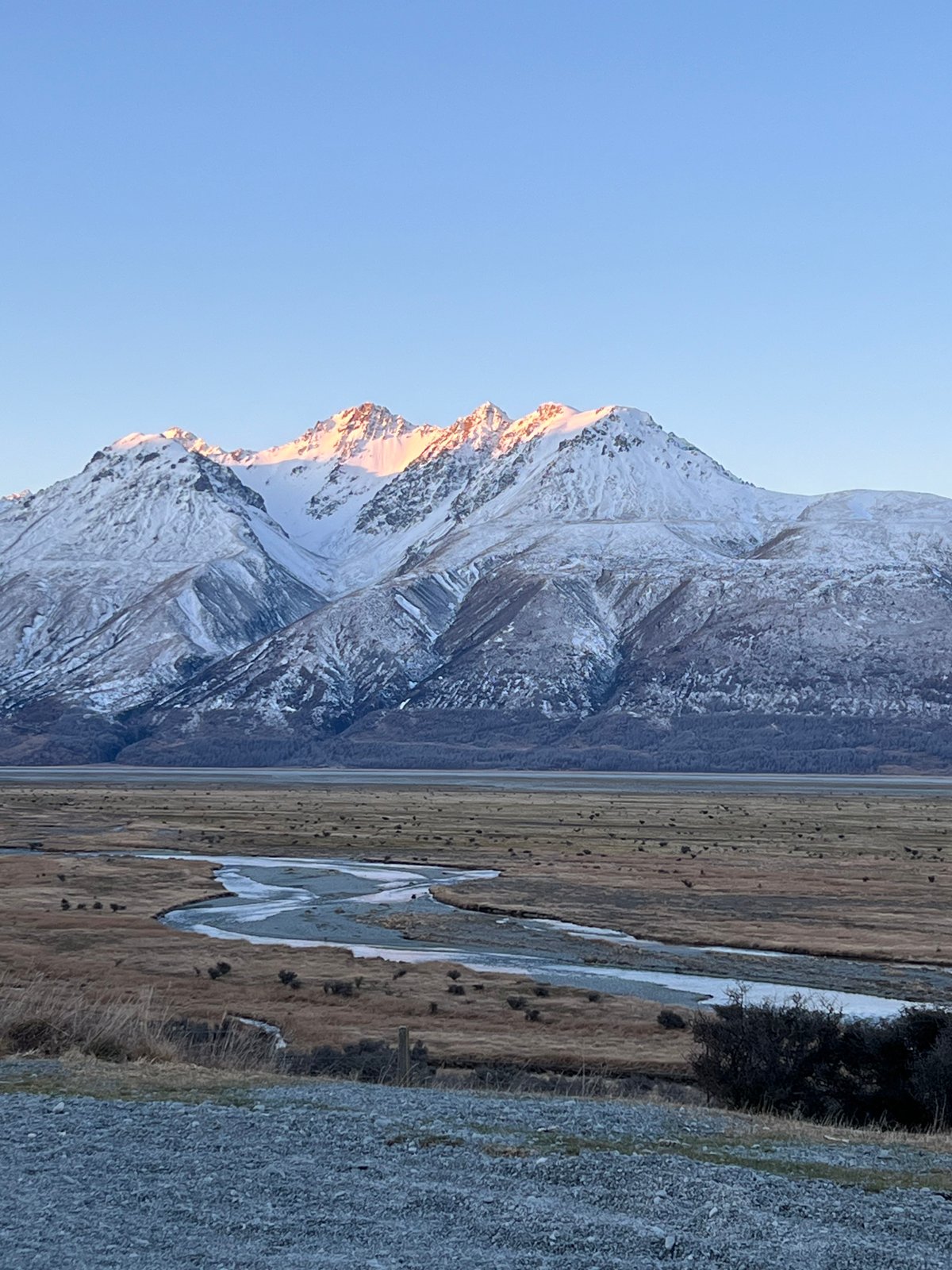
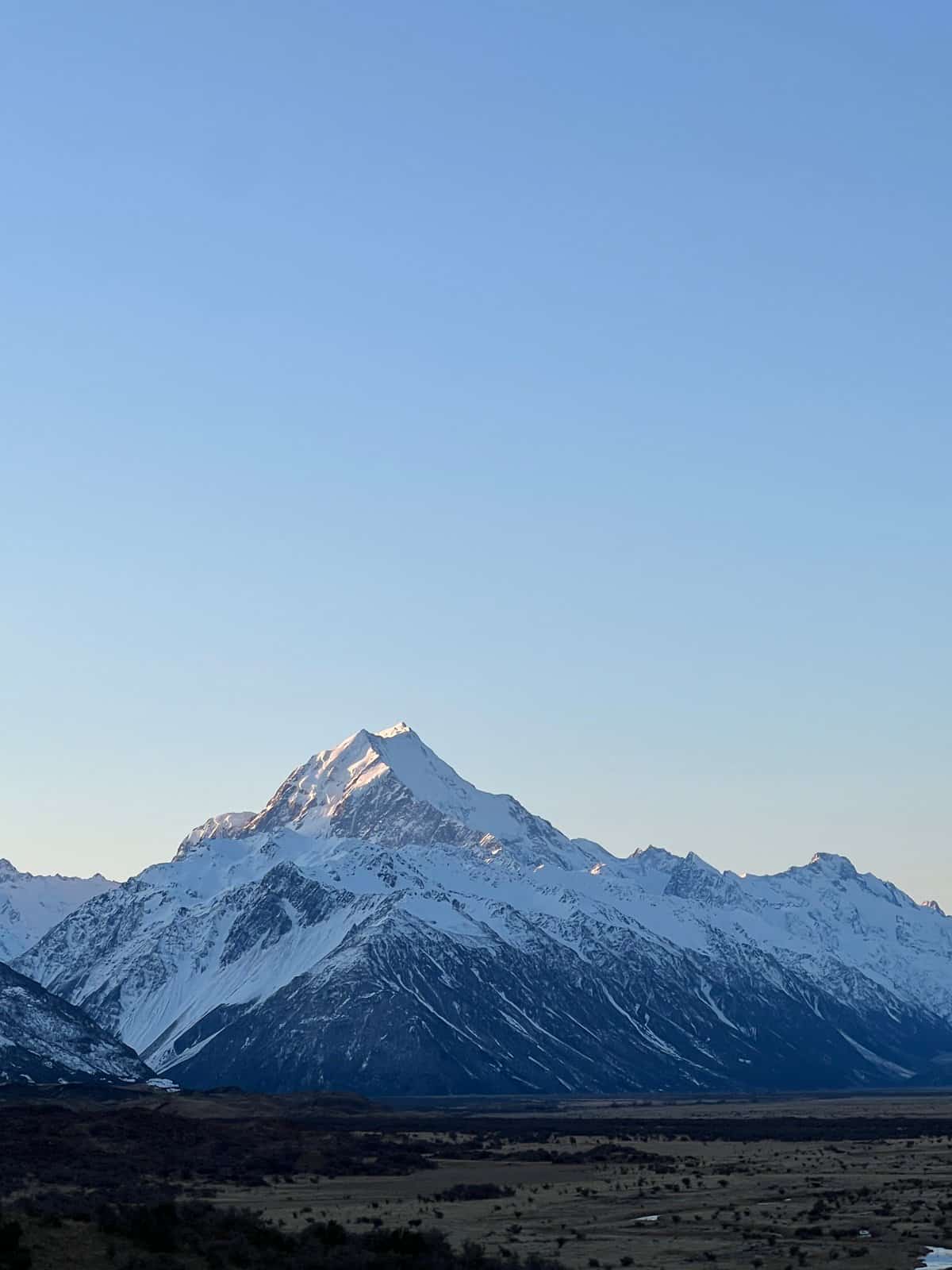
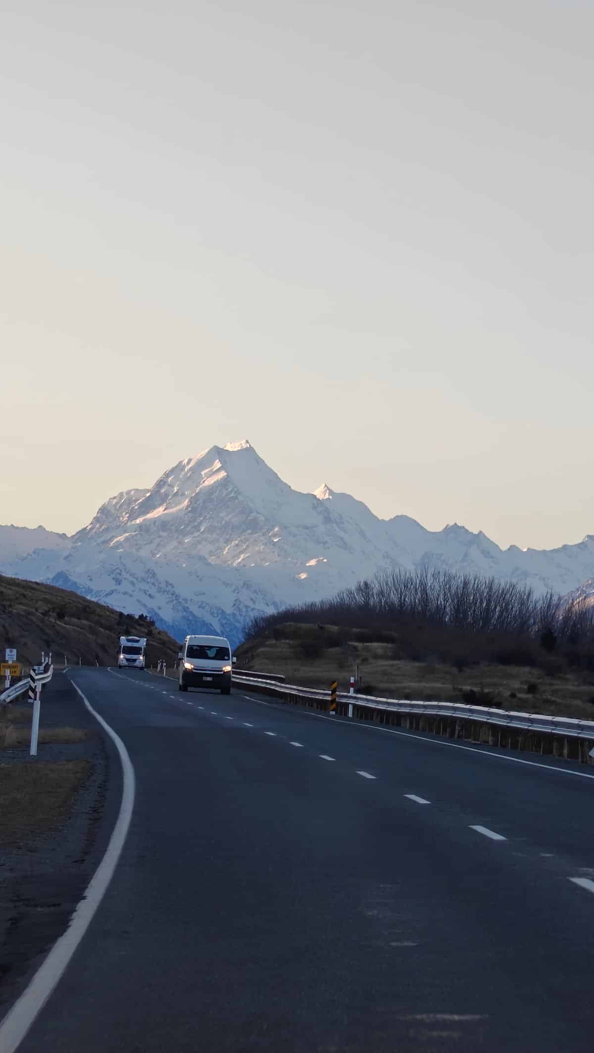
Mount Cook village has one of those roads you drive in on where each turn offers an improved view over the previous one. Early one morning, I went for a drive in and found myself pulling over at gravel lookouts constantly as the light played across the mountains. The peaks, particularly Aoraki itself, are absolutely dominant in the skyline while the river valleys they enclose below are wide and braided.
As the sun came up, the snow on the highest peaks was lit by this soft orange glow that photographers refer to as alpenglow. This only lasted about twenty minutes until the sun rose higher and everything turned white once more. On my way back, I passed other travellers pulled over on the side of the road doing the exact same thing.
We all stood there with cameras in hand in the chilly air.
Blue Lakes
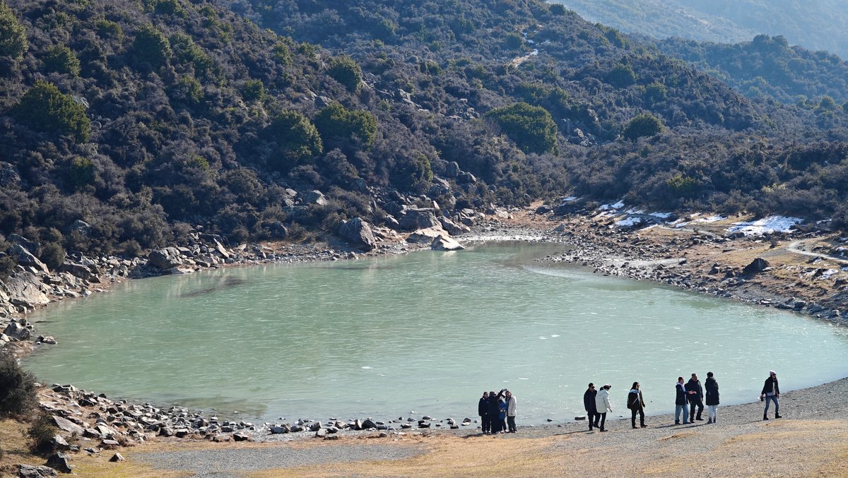
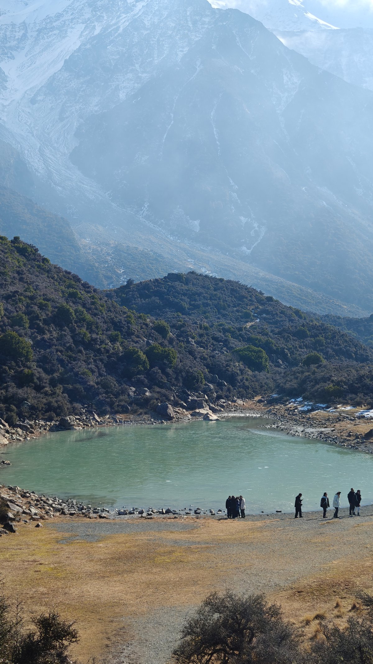
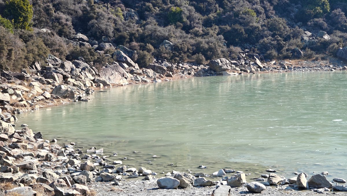
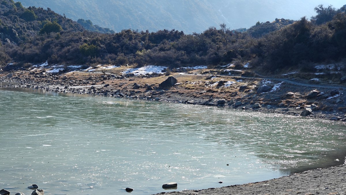
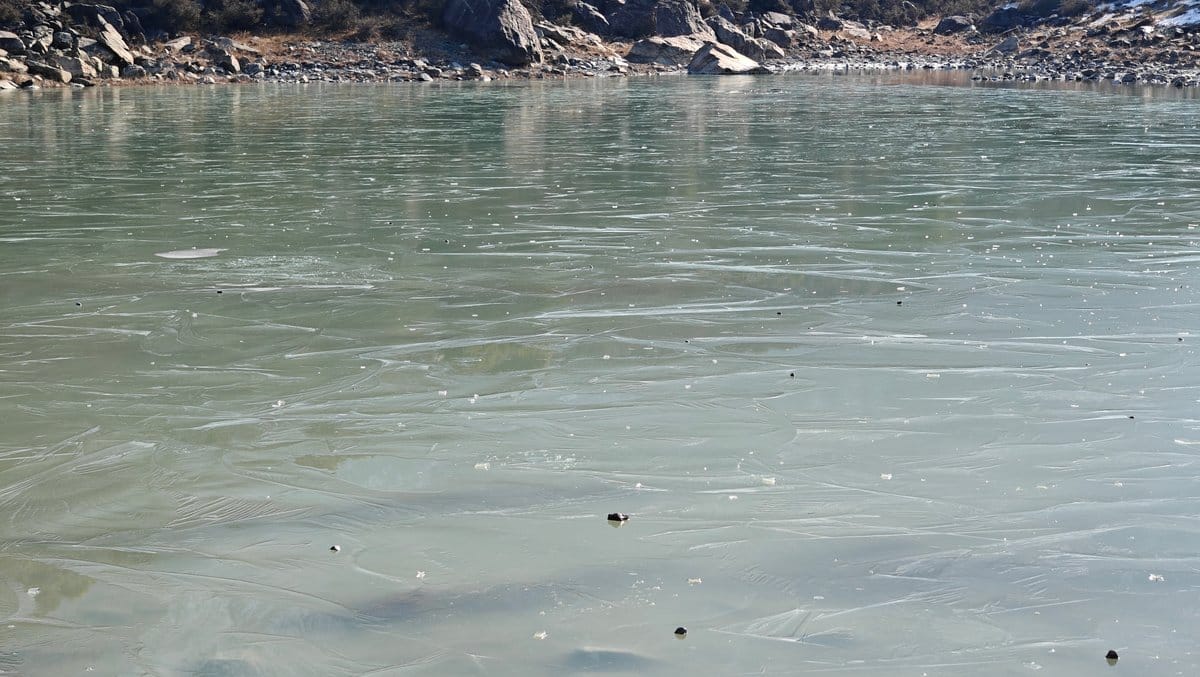
You can drive the road in, stopping anywhere you like, for free, and some of my best shots of Mount Cook came not from any of the official carparks but from these random pull-outs along the road. It is a short walk off Tasman Valley Road to Blue Lakes, which was partly frozen over when I arrived, with just a thin layer of ice across the tarn. The rest of the water was frozen solid and the surrounding moraine slopes and distant mountains made for a stark, alpine feel to the whole place.
The track is all loose scree and gravel, and only takes around fifteen minutes from the carpark but mind where you put your feet. I sat for a while crouched down on the lakeside. I watched the patterns in the ice and stared down into the water at the rocks below where it had been clear.
Hooker Valley Track
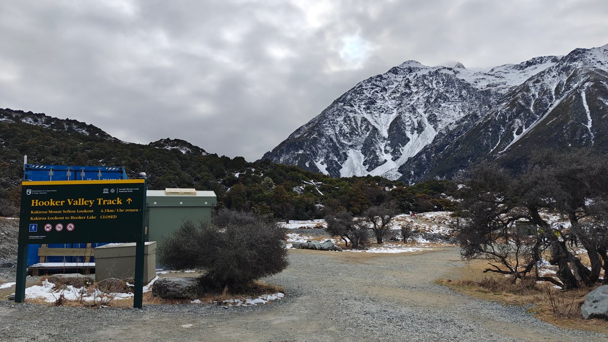
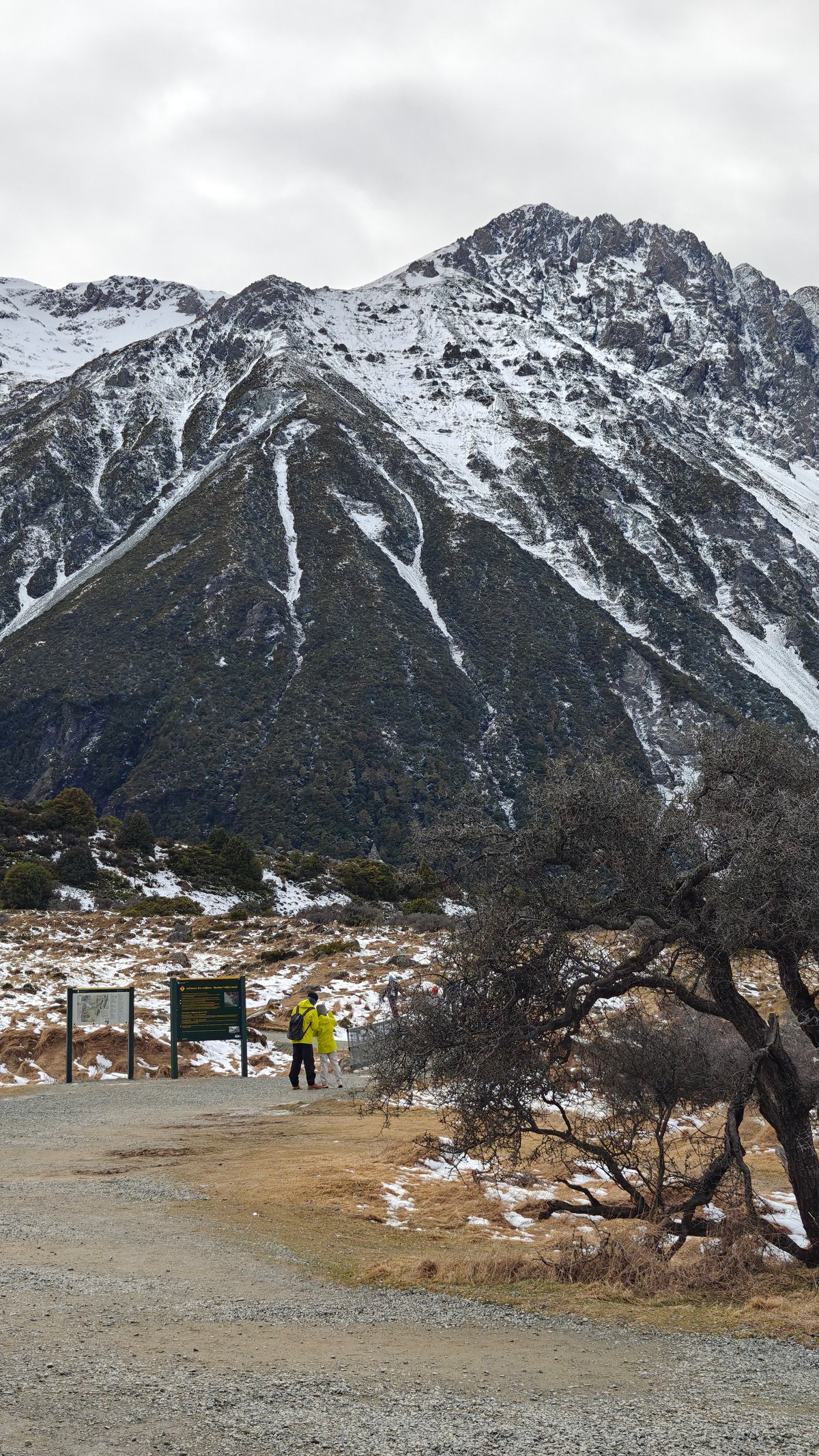
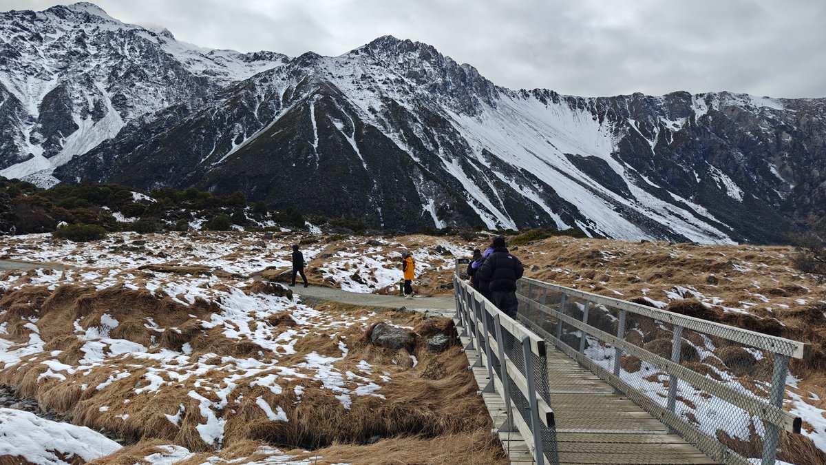
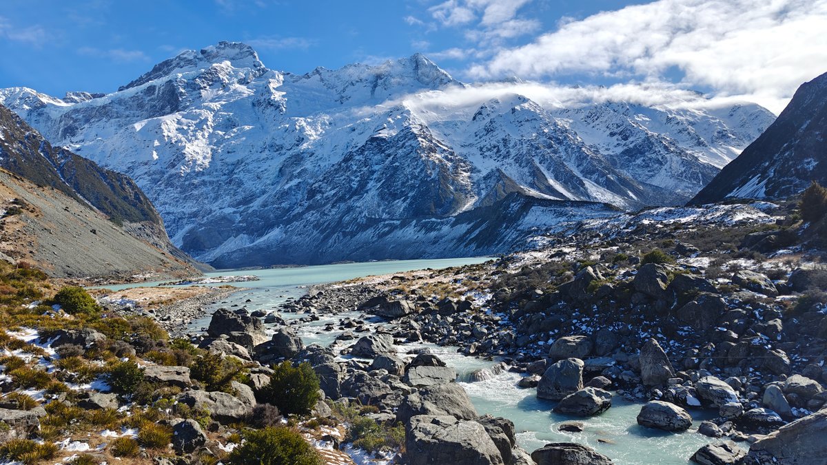
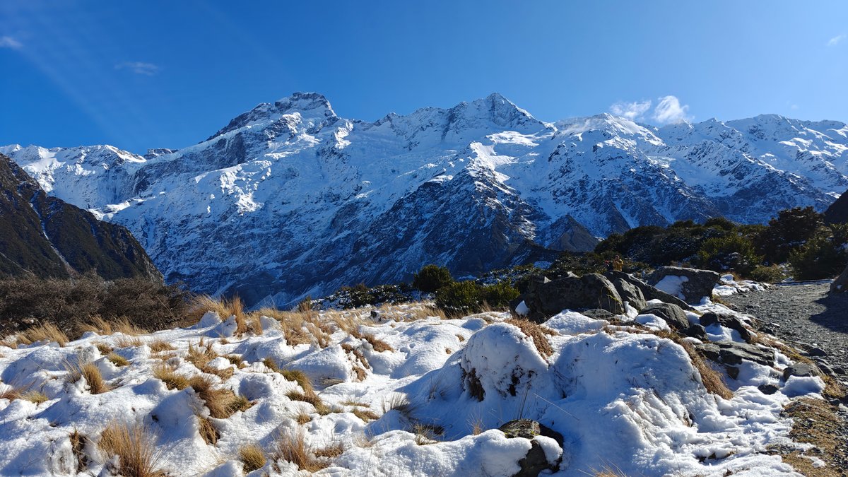
The lack of tourists is due to two things: this track isn’t pushed as much as others (such as the Hooker Valley Track) and it’s slightly out of the way.
But that just means it’s quieter and if you have some time and are looking for a less-crowded path, then make the detour (it’s worth it). The most popular walk in Mount Cook National Park, and with good reason, it’s flat, well maintained, and has views of Aoraki all the way around.
Starting from White Horse Hill campground, this 10-kilometre return trek through the valley floor takes you across three swing bridges spanning the Hooker River. I did it in winter. Some sections of the boardwalk was covered in snow, and the mountains themselves were completely covered.
Tasman Glacier
Although your final stop is Hooker Lake (where sometimes you’ll find icebergs floating in the grey glacial water), to be honest, the walk is just as much about the experience as the end point. The valley itself feels huge and open with its braided river and tussock grasslands, and each section provides you with a slightly different angle on the peaks. Including stops for photographs, I walked at a pretty relaxed pace and found it took me around three hours return.
There isn’t much shelter along the way, so bring layers… The wind can pick up fast.
Helicopter Ride Tasman Glacier
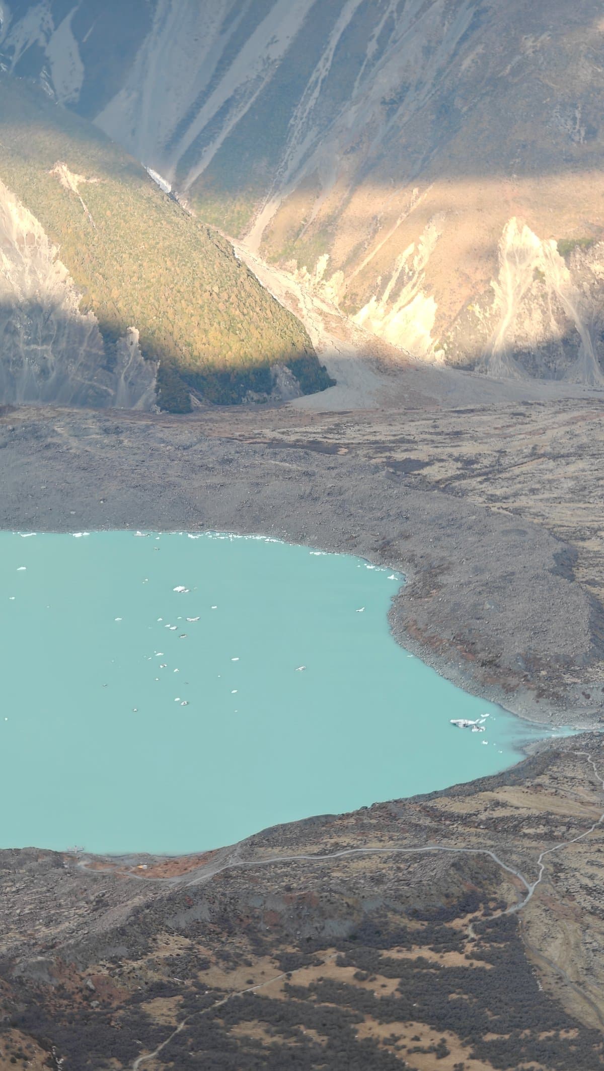
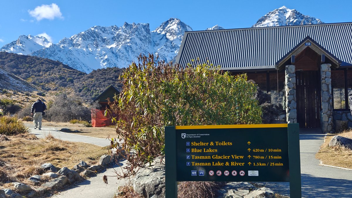
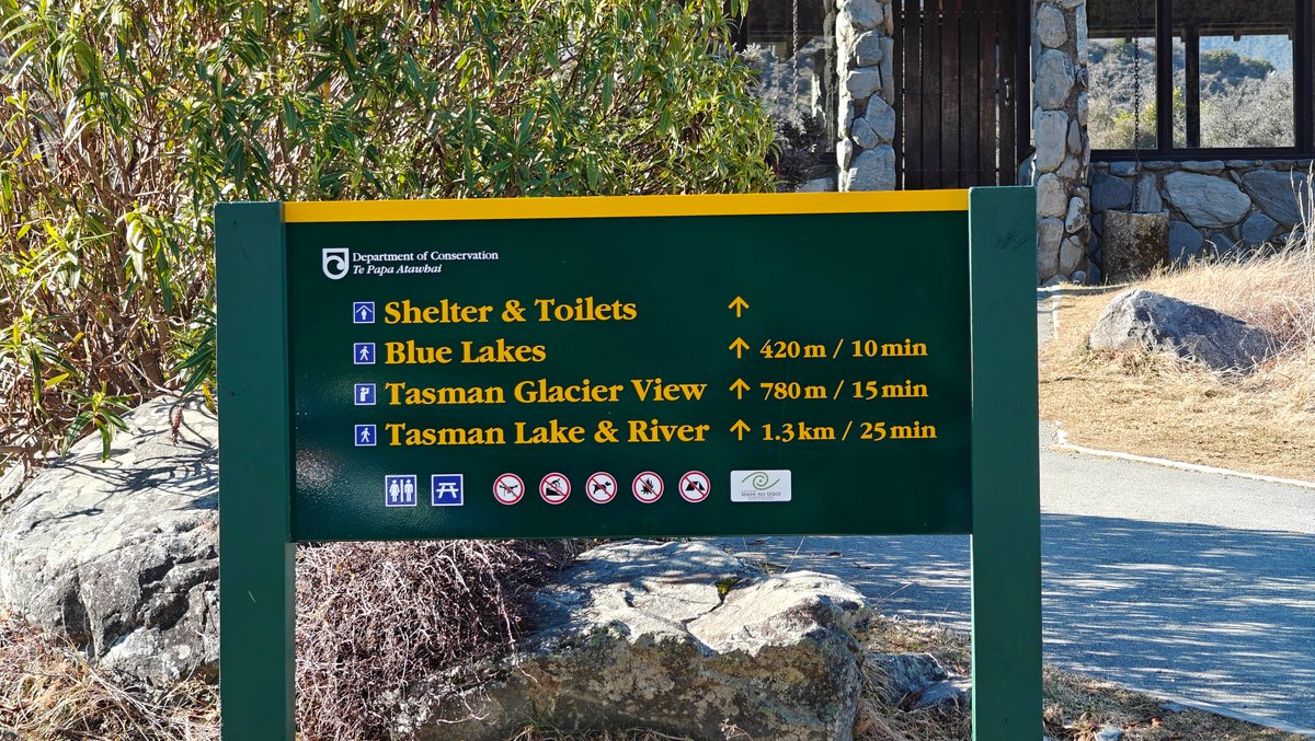
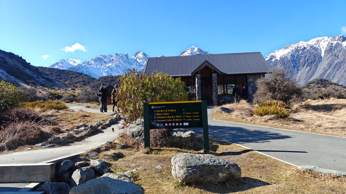
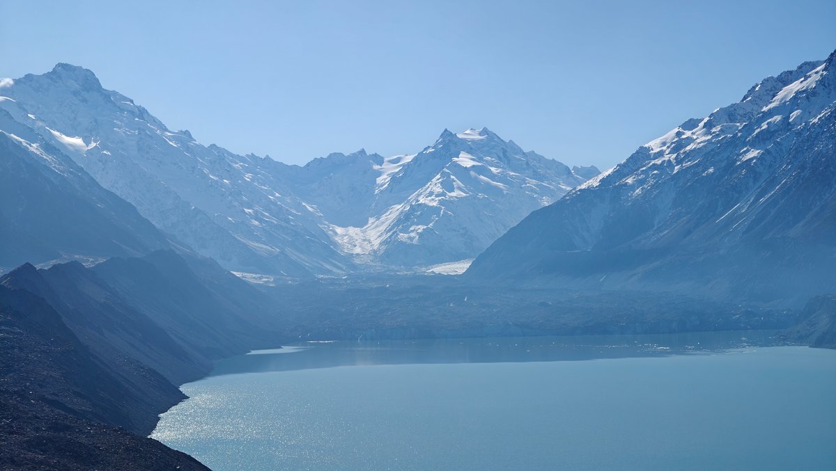
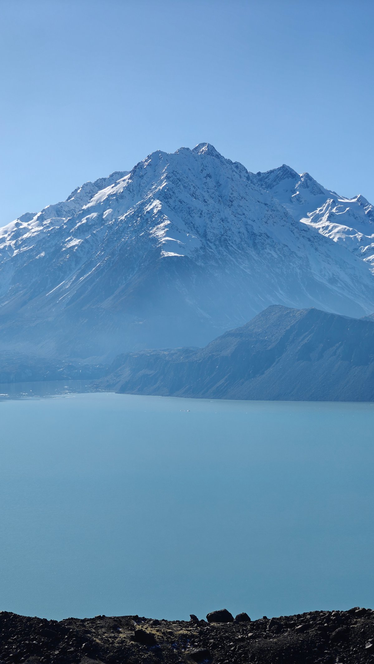
A 10-minute hike from the carpark down Tasman Valley Road leads to a small path that ends at the Tasman Glacier viewpoint. A Department of Conservation sign marks the trailhead (there’s also a shelter there), and the gentle climb takes you up to a viewing area looking out onto Tasman Lake. Full of grey glacial meltwater and typically dotted with pieces of ice, the lake sits below the glacier.
On the day I visited, I could see Aoraki towering over the lake, framed by the valley walls. It was difficult to grasp just how big everything was. While the glacier is now mostly covered in rock and other debris, it used to be the largest in New Zealand.
You can still spot the remains of white ice rivers if you look closely enough. It isn’t what you’d expect, but this is what a glacier in retreat looks like: raw, geological beauty. It’s an easy walk, and the scenery is certainly worth it, but don’t go expecting pristine white ice.
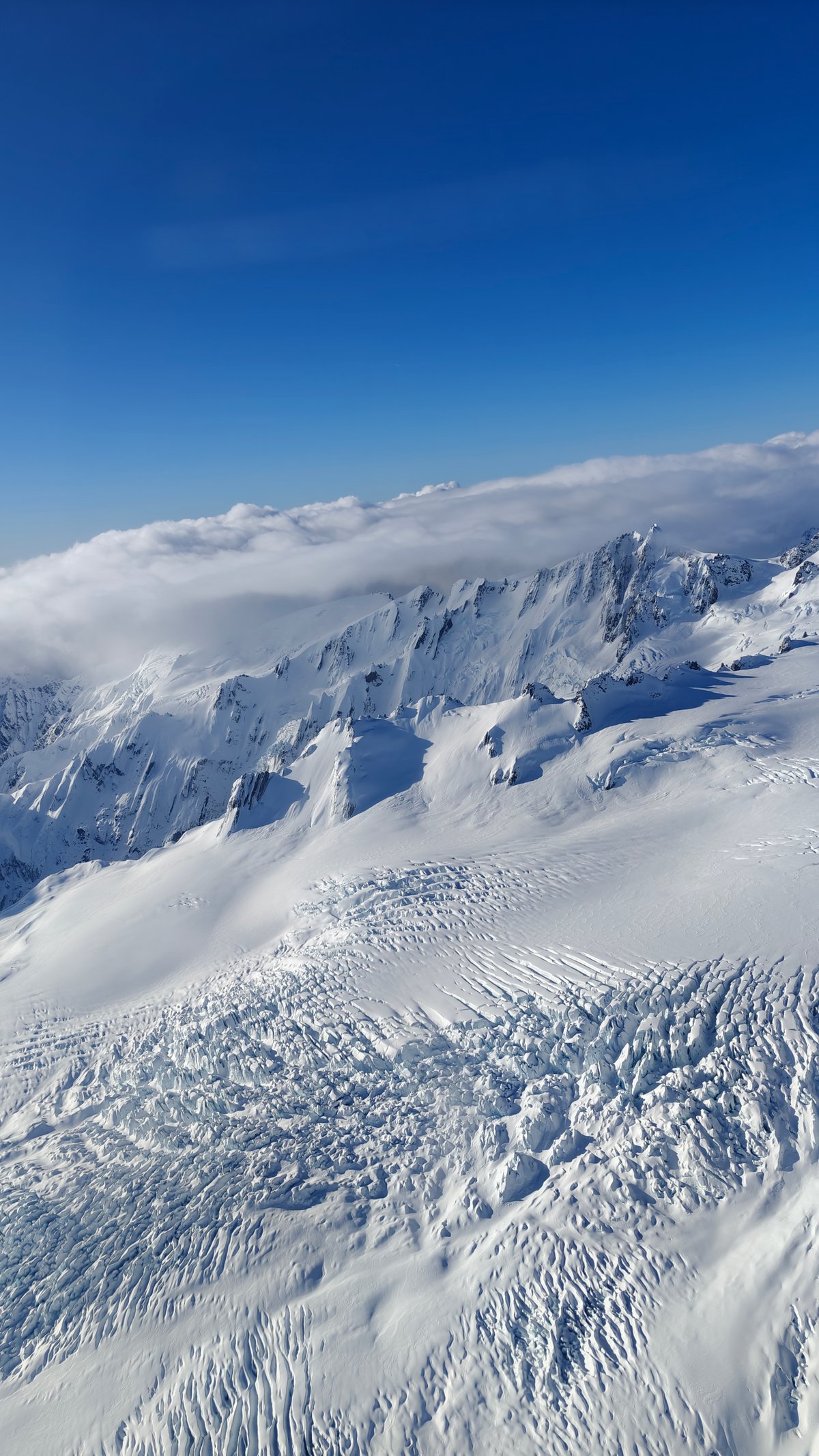
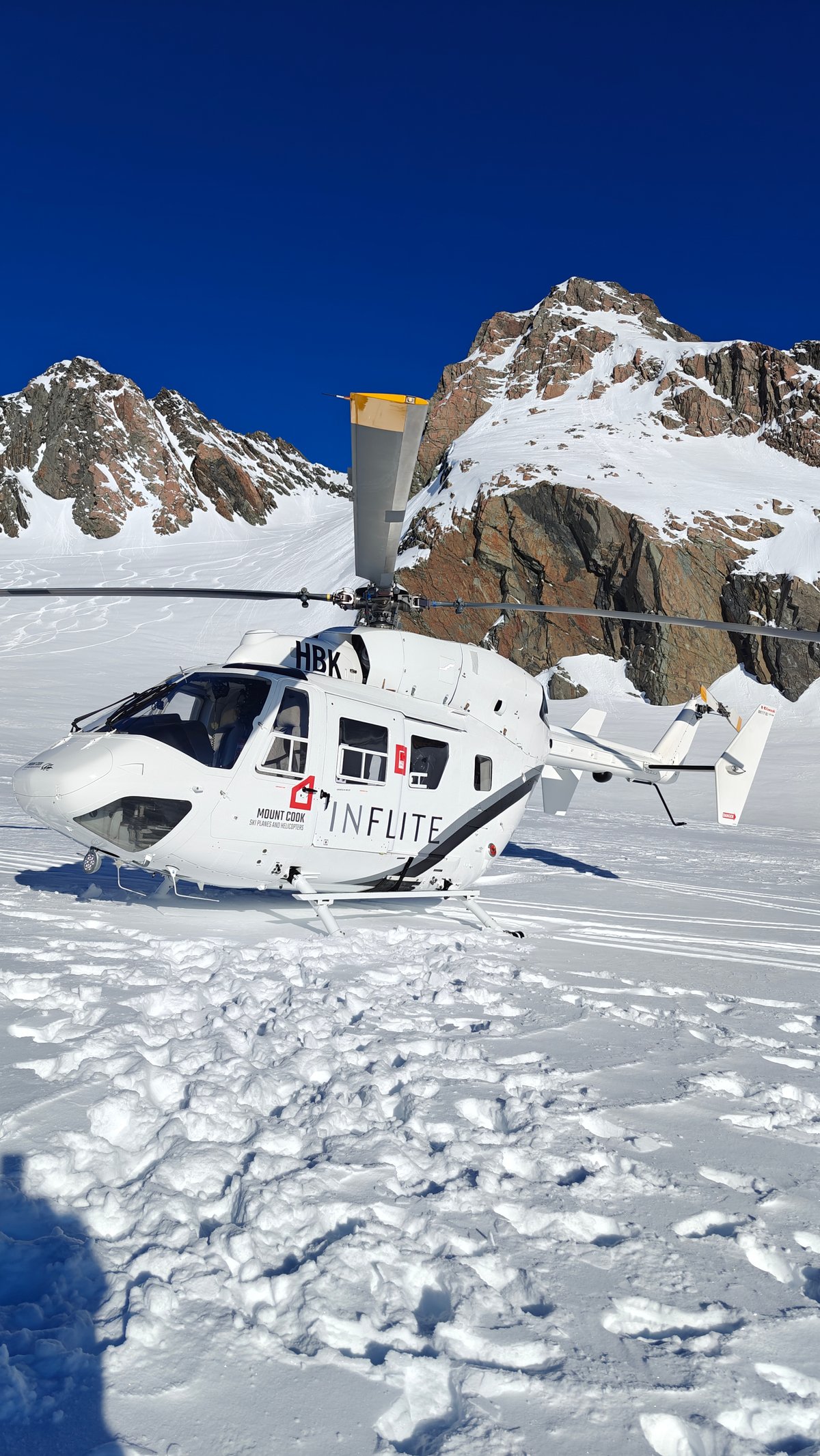
On a clear morning I took a helicopter ride over Tasman Glacier.
It was one of those experiences that sets your sense of scale right. We took off from the Mount Cook Airport and headed immediately towards the mountains.
Queenstown Gardens
Within a few minutes, we were flying over the glacier itself. We looked down into its crevasses and ice formations you would never see from the ground. The helicopter set down on a snow field high up on the Tasman.
We got out and walked around on the snow for ten minutes or so.
That Wanaka Tree


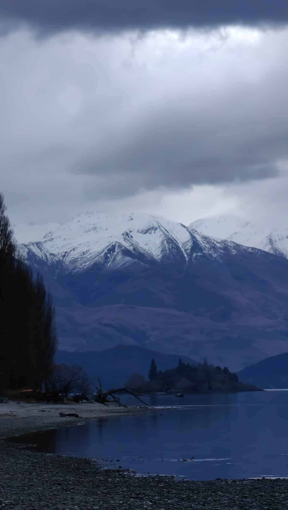
While we walked, the helicopter ticked as the rotors cooled, and the peaks surrounded us. standing on a glacier in the middle of the Southern Alps, with nothing but white all around me, everything felt surreal. As we flew back, I looked down at a lake full of ice bergs, Tasman Lake.
It felt like I could of floated down to them in a kayak! Total flight time?
Glenorchy Wharf
Maybe 35 minutes. Not exactly cheap, but then again, this is one for the memory books. Flights are subject to weather so book early and don’t be surprised if they’re cancelled when conditions aren’t right.
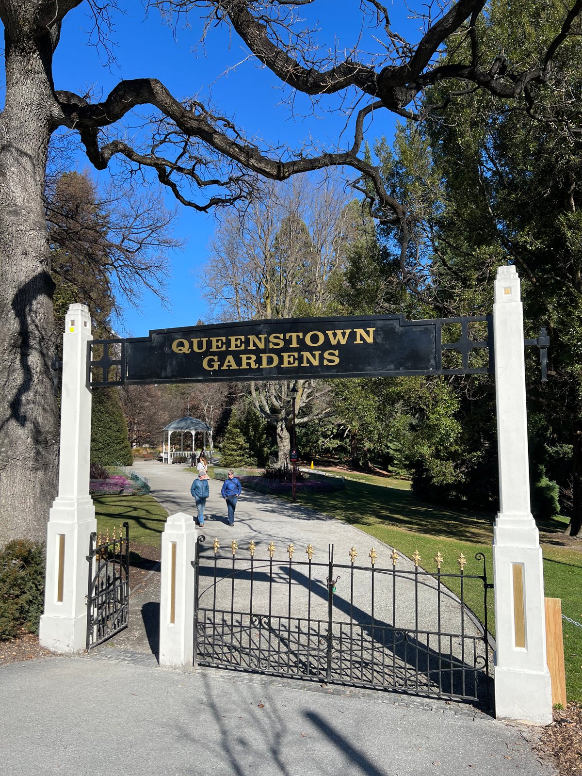
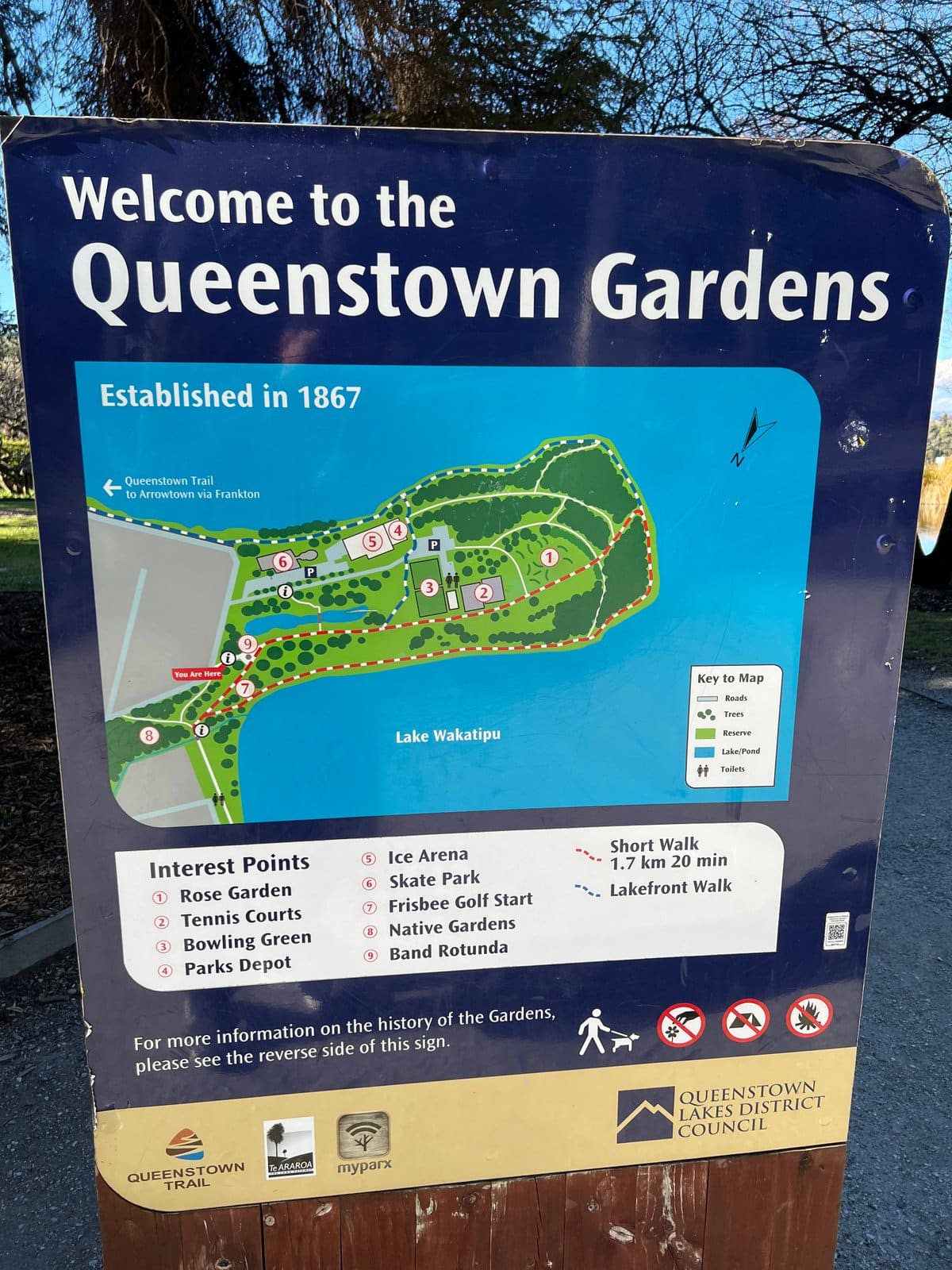
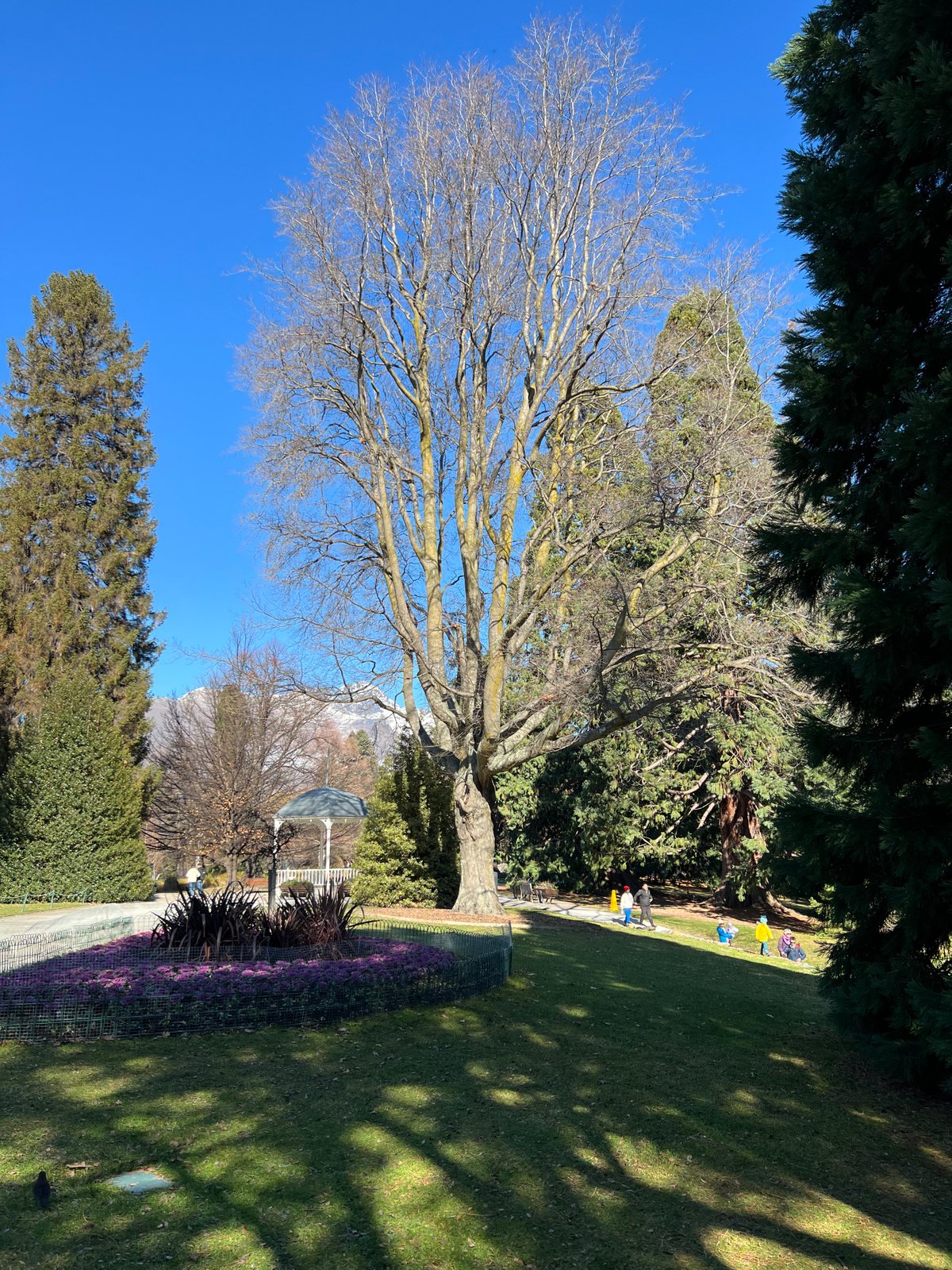
Just a few minutes’ walk from the town centre is the Queenstown Gardens, located on a peninsula extending out into Lake Wakatipu. I walked there one day for some peace and quiet. I was greeted by wide lawns lined with old trees and walking paths circling the peninsula, which offered views of the mountains across the lake.
Near the entrance gate there’s an orientation sign and a historic entrance arch, but otherwise it’s mostly open parkland where locals come to sit on the grass, take their dog for a walk, or go for a run. I took a half-hour stroll along the path around the lake and gazed at the snowy peaks of the Remarkables across the water. If you’re after some space, this is a great contrast to the busy center of Queenstown, it’s quiet, it’s free, and it’s nice.
Milford Sound
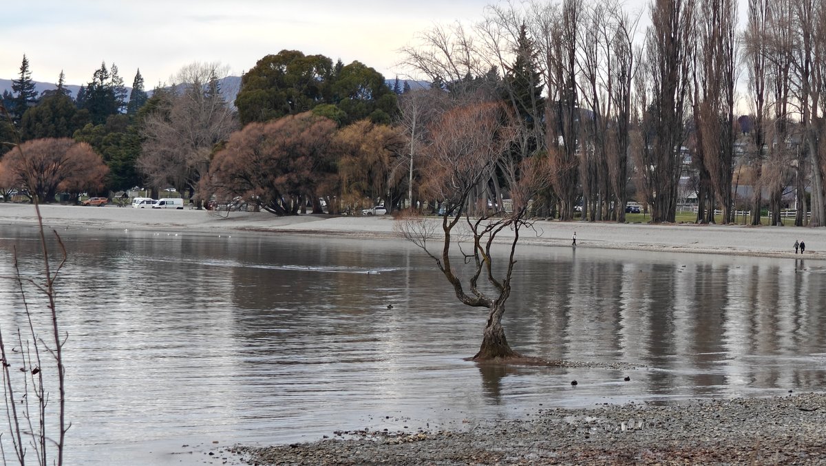
The Wanaka Tree is a single, lone willow tree growing in shallow waters off Lake Wanaka that for some reason has become one of New Zealand’s most-photographed trees.
I came here after walking through town to the lake to see what the big deal was, and there it was, right out in the water, flanked by snow-capped peaks in the distance. A small, gnarly tree, whose appeal is more about the surroundings than the tree itself, it’s the mountains, the water, and then this one little solitary willow that simply makes everything look nice together.
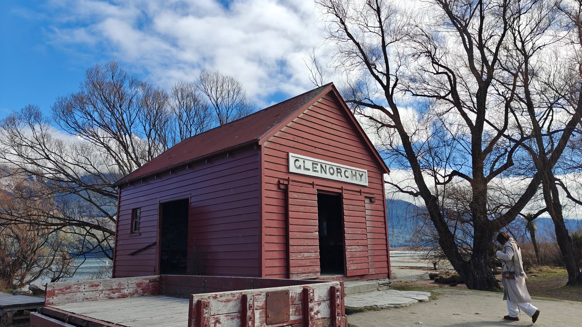
There were a half-dozen others on the beach when I arrived, each snapping their own photo trying to find an angle without anyone else’s tripod getting into the shot. To visit, it’s a five-minute stroll from downtown Wanaka, and while it won’t be a day-eater, I understood the appeal once I was in front of it. About 45 minutes outside of Queenstown (on a twisty lakeside road) sits the small village of Glenorchy at the north end of Lake Wakatipu.
It has an old red shed and a grassy reserve beside the water.
Snow Farm Cardrona
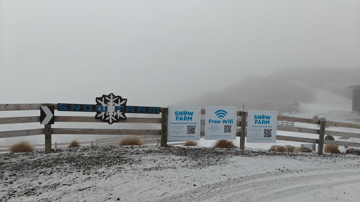
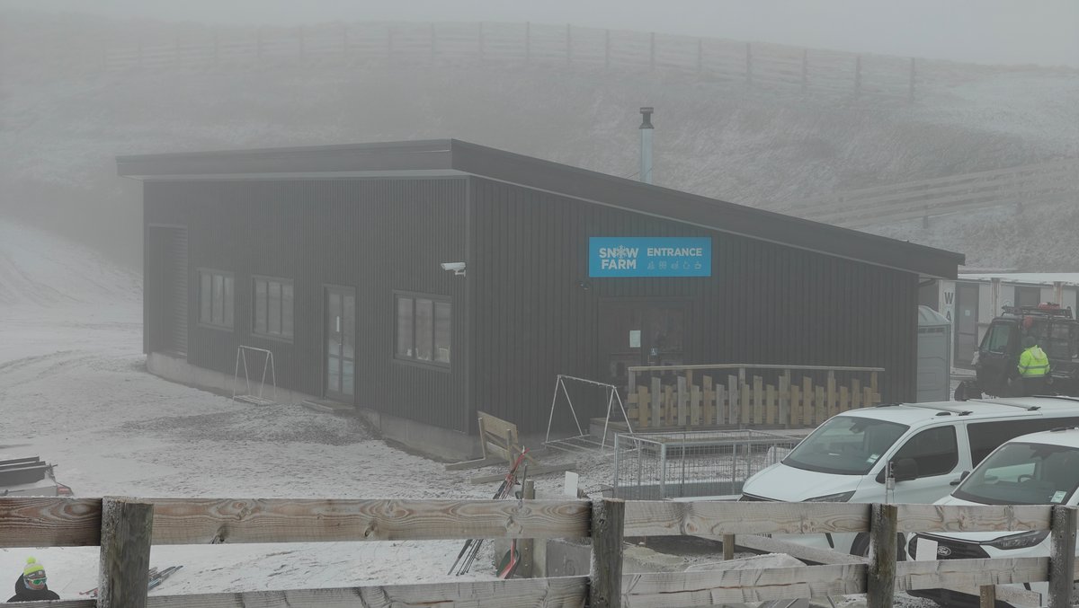
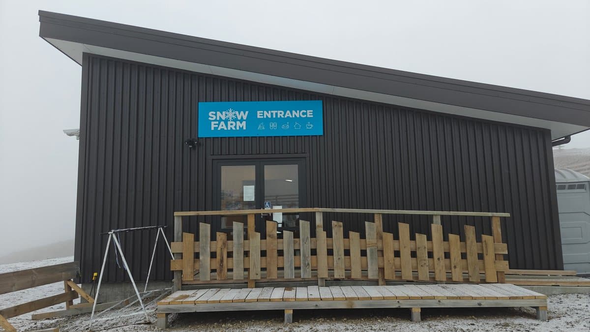
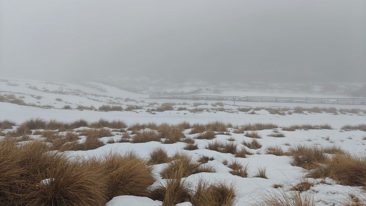
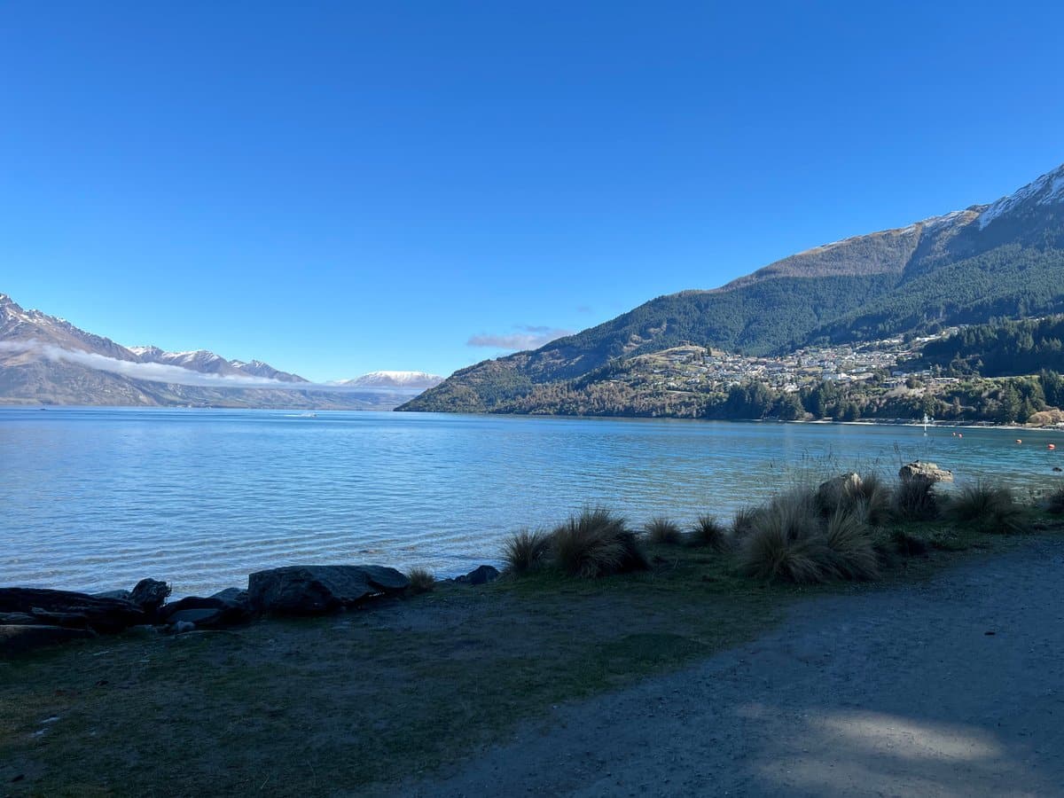
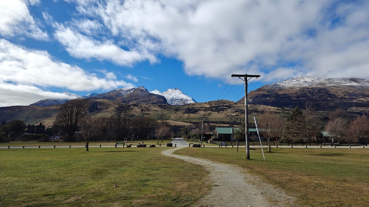
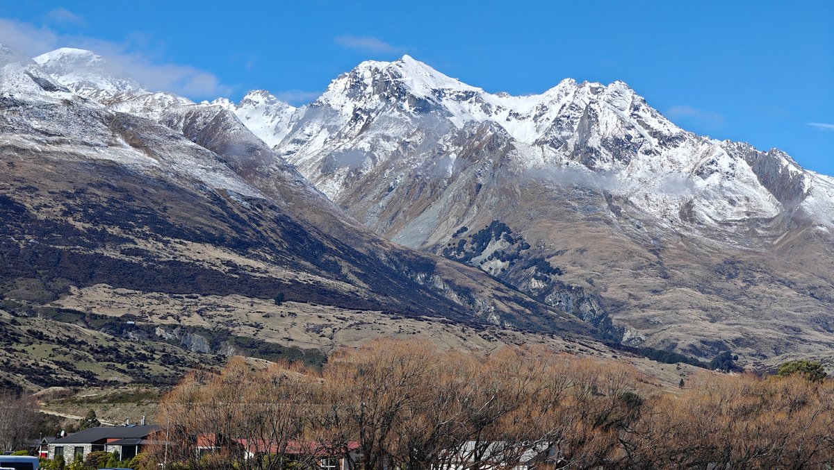
Across the lake, the snowy peaks look impossibly close in the soft afternoon light. Though Glenorchy does get a lot of attention as a starting point for hikes such as the Routeburn, even if you aren’t hiking, the drive up and the lake scenery are worth it. I ended up spending some time simply sitting on the wharf staring out at the water and peaks, and the entire place had an end-of-the-road quietness that made me feel far away from the bustle of Queenstown.
There isn’t a ton here, just a couple dozen houses, a general store, and a cafe, but it was really all about the setting. Milford Sound in winter is a whole different experience from summer.
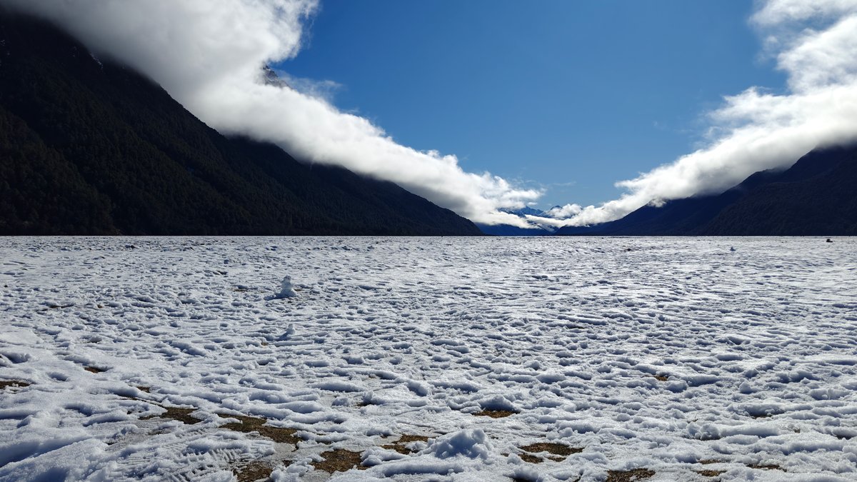
As you drive there from Te Anau, you pass through snow-covered valleys.
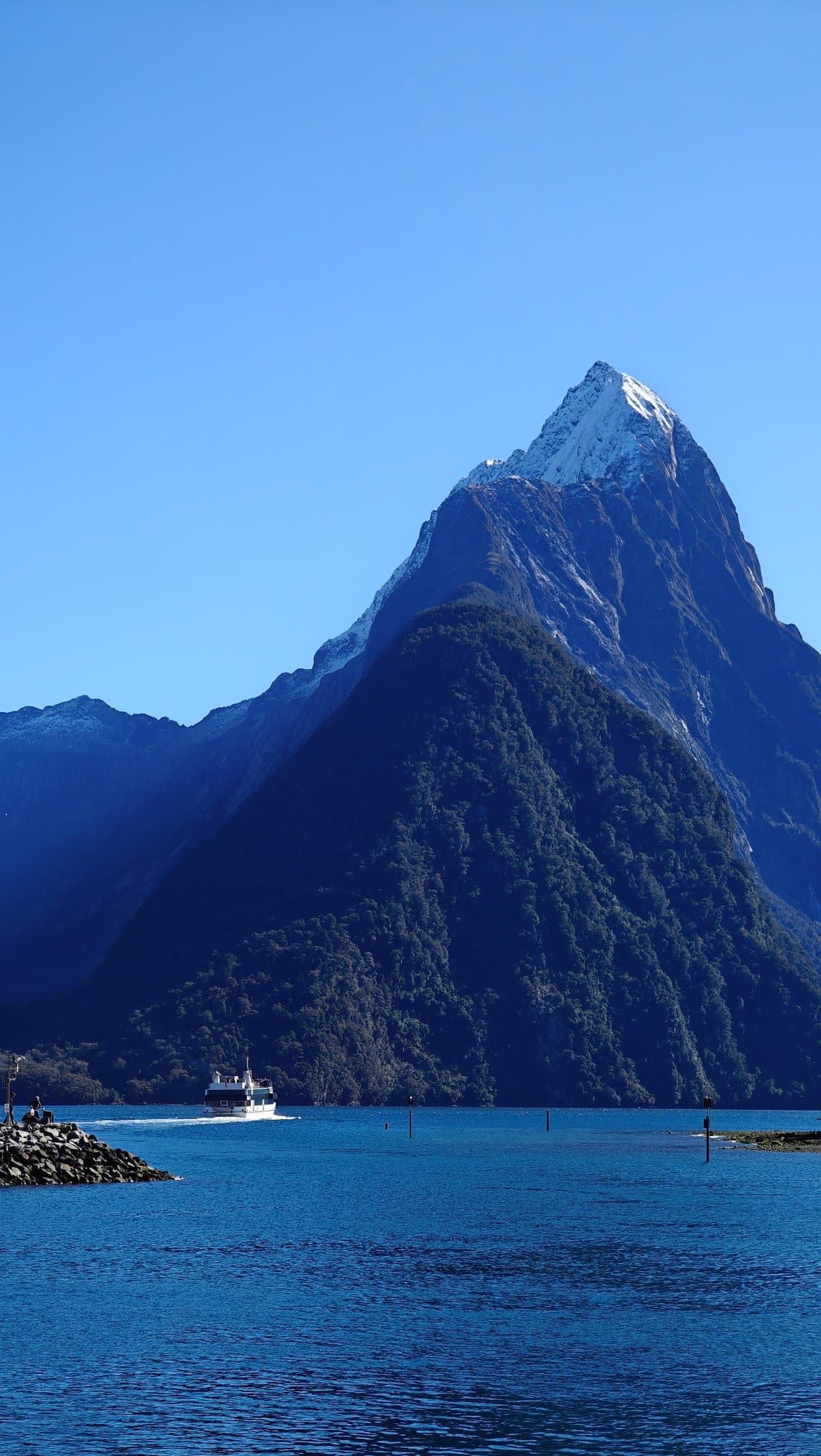
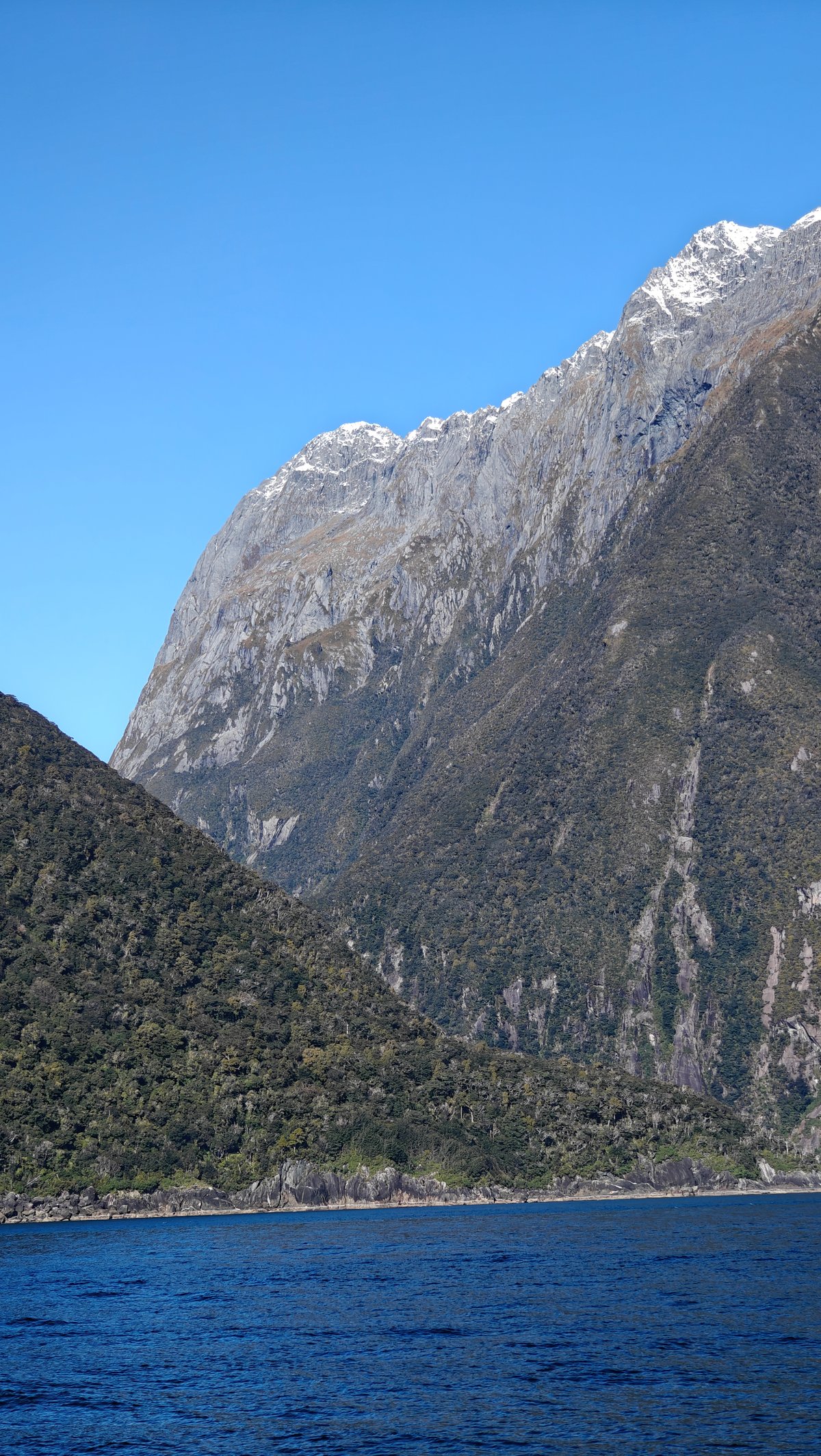
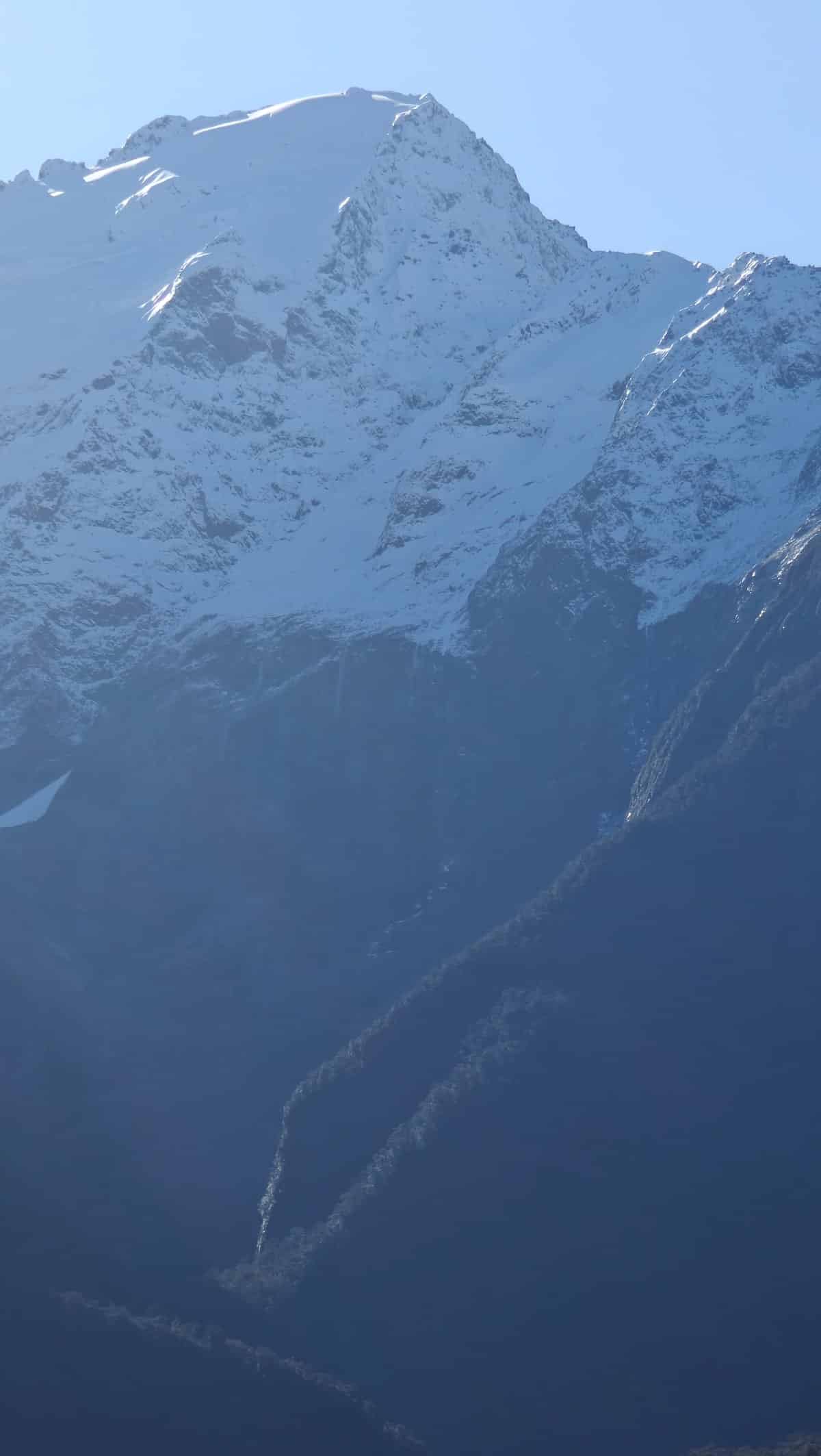
I went through Eglinton Valley, and it felt more like being in the Arctic than New Zealand. Once at the sound itself, you’ll see Mitre Peak jutting up from the water. In winter, every peak around you will be topped with snow, with waterfalls cascading down the cliff face.
To really get to know the fiord, you can kayak or take a boat cruise, which is what I did. The boat leaves from the terminal and is the best way to truly see the fiord. The weather was moody (cloudy skies, some light rain) (typical for Milford), but to me, the moodiness just enhanced the atmosphere.
Because of all that rain recently, the waterfalls were flowing strongly, and when the boat neared those cliff walls, you could feel the misty air. The cruise lasted around two hours and it’s chilly up on deck, but I didn’t want to miss the views and sat out there the entire time.